White Rock in Los Alamos County, New Mexico — The American Mountains (Southwest)
Home
| — | Bandelier National Monument | — |
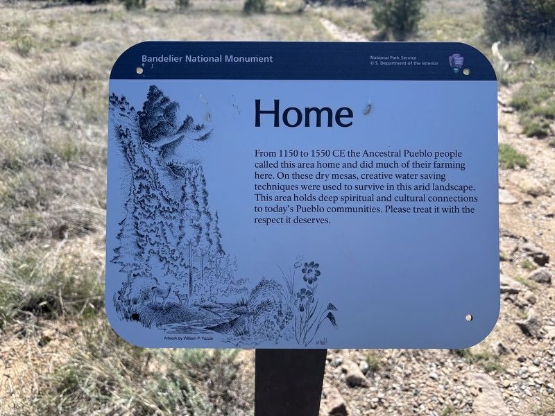
Photographed by Benjamin Rubin, October 16, 2026
1. Home Marker
From 1150 to 1550 CE the Ancestral Pueblo people called this area home and did much of their farming here. On these dry mesas, creative water saving techniques were used to survive in this arid landscape. This area holds deep spiritual and cultural connections to today's Pueblo communities. Please treat it with the respect it deserves.
Erected by National Park Service, U.S. Department of the Interior.
Topics. This historical marker is listed in these topic lists: Anthropology & Archaeology • Indigenous Peoples and Communities • Parks & Recreational Areas • Settlements & Settlers. A significant historical year for this entry is 1150.
Location. 35° 47.421′ N, 106° 16.843′ W. Marker is in White Rock, New Mexico, in Los Alamos County. It is on Paintbrush Court. The marker is located on the Tyuonyi Overlook Trail, in Bandelier National Monument. Touch for map. Marker is at or near this postal address: 210 Paintbrush Ct, White Rock NM 87547, United States of America. Touch for directions.

Regionally, this marker is in Northern New Mexico. It is also in the American Southwest. Globally, it is in North America,
this page online
Other nearby markers. At least 8 other markers are within 7 miles of this marker, measured as the crow flies: Houses (within shouting distance of this marker); Plants (approx. ¼ mile away); The Role of Fire (approx. 0.3 miles away); Sacred Spaces (approx. 0.3 miles away); A Living Legacy (approx. 0.4 miles away); A Lasting Legacy (approx. 0.4 miles away); Tyuonyi Overlook (approx. 0.4 miles away); Los Alamos Project Main Gate Park (approx. 6.1 miles away). Touch for a list and map of all markers in White Rock.
Credits. This page was last revised on November 10, 2026. It was originally submitted on November 6, 2026, by Benjamin Rubin of Columbia, South Carolina. This page has been viewed 9 times since then. Photo 1. submitted on November 6, 2026, by Benjamin Rubin of Columbia, South Carolina. • J. Makali Bruton was the editor who published this page.
Editor’s want-list for this marker. A wide view photo of the marker and the surrounding area together in context. • Can you help?
