Sioux City in Woodbury County, Iowa — The American Midwest (Upper Plains)
The Old Missouri River Trail
September 26, 2026
1. The Old Missouri River Trail Marker
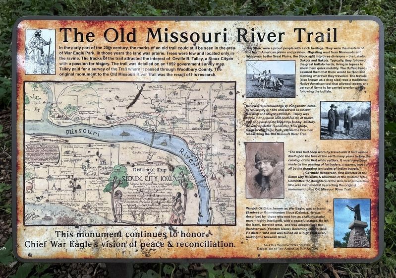
The Sioux were a proud people with a rich heritage. They were the masters of the North American plains and prairies. Migrating west from Minnesota and Wisconsin to the Great Plains, the Sioux split into three divisions — the Lakota, Dakota and Nakota. Typically, they followed the great buffalo herds, living in tepees to allow them quick mobility. The buffalo herds assured them that there would be food and clothing wherever they traveled. The travois (also known as a drag sled) was a traditional Native American tool that allowed tepees and personal items to be carried overland while following the
this page online
Civil War veteran George W. Kingsnorth came to Sioux City in 1859 and served as Sheriff, Marshall and Mayor. Orville B. Talley was active in the social and political life of Sioux City and passionate about his hobby - history. He was a careful researcher. This photo, taken in War Eagle Park, shows the two men researching the Old Missouri River Trail.
"The trail had been worn by travel until it had written itself upon the face of the earth many years before the coming of the first white settlers. It must have been made by the passing of fur traders, trappers, most of all by the dragging tent poles of Indian travois."
-- Gertrude Henderson, first Director of the Sioux City Museum & Chairman of the Historic Sites Committee for Daughters of the American Revolution. She was instrumental in erecting the original monument to the Old Missouri River Trail.
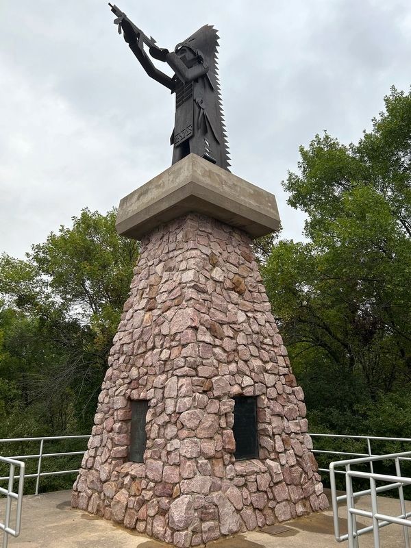
Waŋbdi Okičhize, known as War Eagle, was an Isanti (Santee) or Mdewakanton Sioux (Dakota). He was described by those who met him as a tall, muscular man -- highly intelligent, with a peaceful nature. He left the Isanti, traveled west, and was adopted into the Ihanktonwan
September 26, 2026
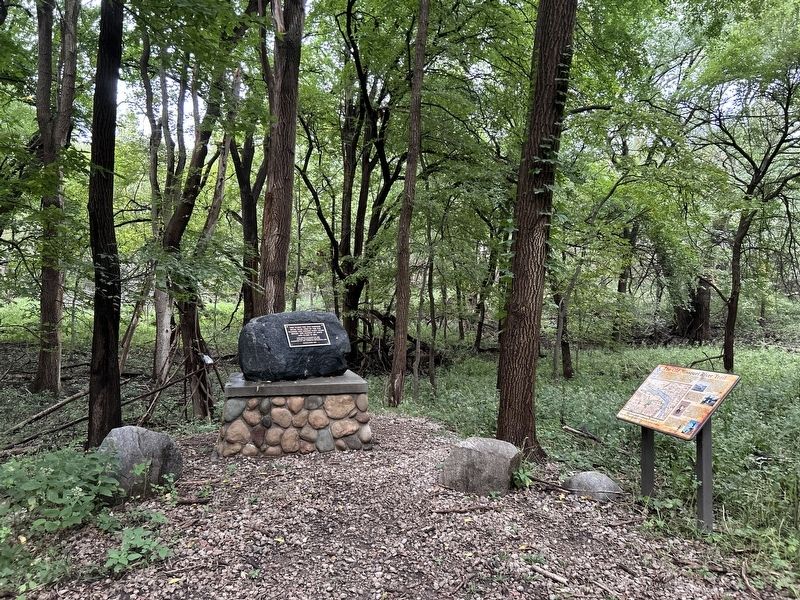
2. The Old Missouri River Trail Marker
This monument continues to honor Chief War Eagle's vision of peace & reconciliation.
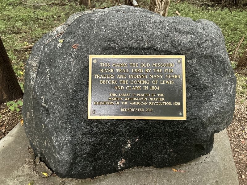
Erected 2019 by Martha Washington Chapter, Daughters of the American Revolution.
Topics. This historical marker is listed in these topic lists: Indigenous Peoples and Communities • Roads & Vehicles • Waterways & Vessels. A significant historical year for this entry is 1852.
Location. 42° 29.719′ N, 96° 27.095′ W. Marker is in Sioux City, Iowa, in Woodbury County. It can be reached from War Eagle Drive north of Grove Street. Located in War Eagle Park. Touch for map. Marker is at or near this postal address: 4000 War Eagle Dr, Sioux City IA 51103, United States of America. Touch for directions.

Regionally, this marker is in Western Iowa and in Loess Hills. It is also in the American Midwest, in the Lewis & Clark Corridor, and in the Corn Belt. Globally, it is in North America, the Western Hemisphere, the Western World, and the Anglosphere. Historically, it finds itself in what was once the territory of the
September 26, 2026
3. Old Missouri River Trail Monument
Other nearby markers. At least 8 other markers are within 2 miles of this marker, measured as the crow flies: A different marker also named Old Missouri River Trail (here, next to this marker); Chief War Eagle (about 600 feet away, measured in a direct line); Theophile Bruguier (about 700 feet away); Peace and Friendship (about 800 feet away); M.V. Sergeant Floyd (approx. 1.7 miles away); The Lewis & Clark Expedition (approx. 1.7 miles away); Prospect Hill (approx. 1.8 miles away); Pacific Short Line Bridge (approx. 2 miles away). Touch for a list and map of all markers in Sioux City.
September 26, 2026
4. Chief War Eagle Monument
Credits. This page was last revised on November 8, 2026. It was originally submitted on November 8, 2026. This page has been viewed 7 times since then. Photos: 1, 2, 3, 4. submitted on November 8, 2026.
