Boston in Suffolk County, Massachusetts — The American Northeast (New England)
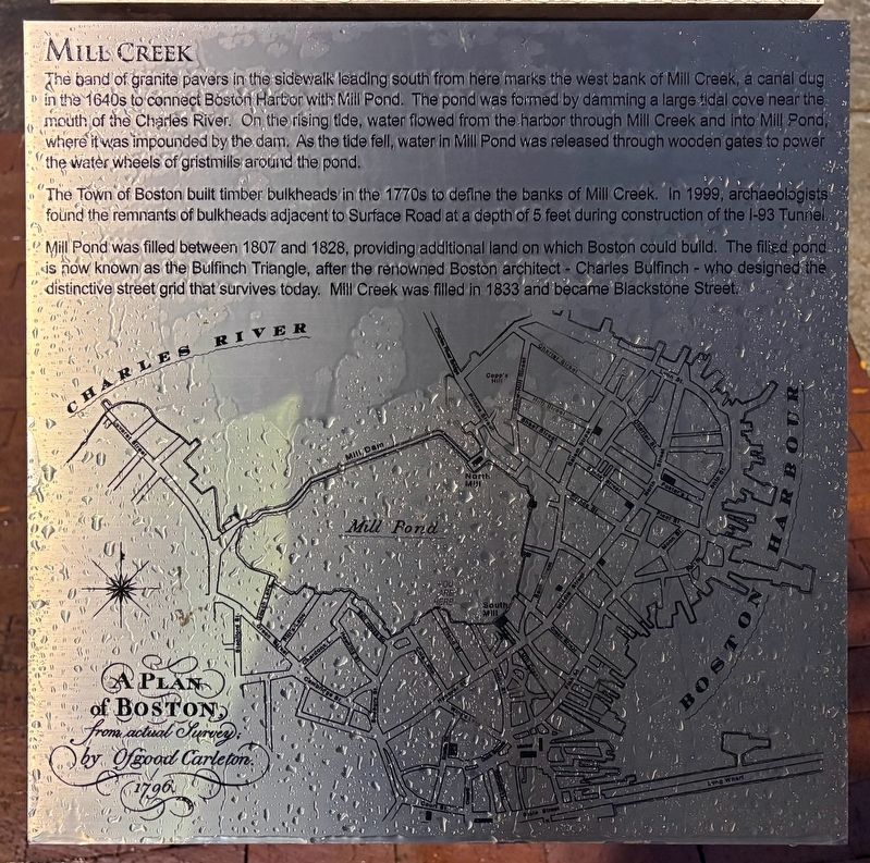
Mill Creek
Photographed by Sean P. Flynn, November 6, 2026
1. Mill Creek Marker
The Town of Boston built timber bulkheads in the 1770s to define the banks of Mill Creek. In 1999, archaeologists found the remnants of bulkheads adjacent to Surface Road at a depth of 5 feet during construction of the I-93 Tunnel.
Mill Pond was filled between 1807 and 1828, providing additional land on which Boston could build. The filled pond is now known as the Bulfinch Triangle, after the renowned Boston architect — Charles Bulfinch — who designed the distinctive street grid that survives today. Mill Creek was filled in 1833 and became Blackstone Street.
Topics. This historical marker is listed in these topic
this page online
Location. 42° 21.748′ N, 71° 3.435′ W. Marker is in Boston, Massachusetts, in Suffolk County. It is on John F. Fitzgerald Surface Road south of New Sudbury Street, on the right when traveling south. Touch for map. Marker is at or near this postal address: 136 Blackstone Street, Boston MA 02113, United States of America. Touch for directions.

Regionally, this marker is in Historic Boston. It is also in the American Northeast, in New England, and on the Eastern Seaboard. Globally, it is in the North Atlantic Region, North America, the Western Hemisphere, the Western World, and the Anglosphere. Historically, it finds itself in what was once one of the original Thirteen Colonies.
Other nearby markers. At least 8 other markers are within walking distance of this marker: Millstone from South Mill (here, next to this marker); Zipporah Potter Atkins (within shouting distance of this marker); Rose Fitzgerald Kennedy Greenway (within shouting distance of this marker); Boston Timeline (within shouting distance
Photographed by Sean P. Flynn, November 6, 2026
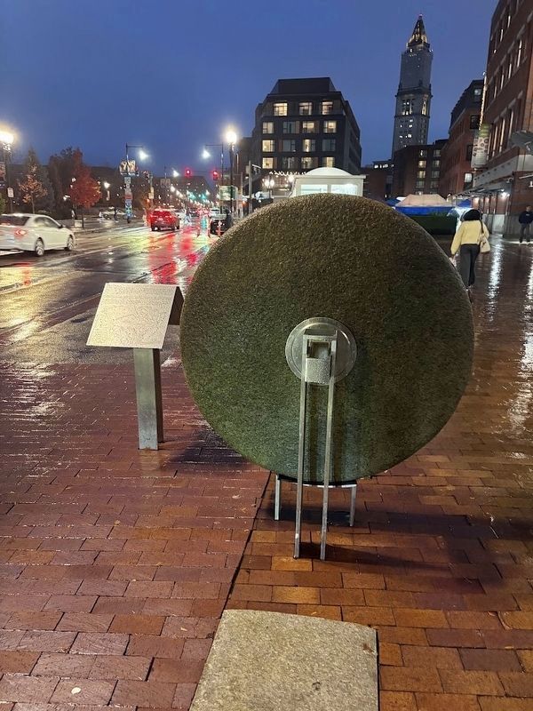
2. Mill Creek Marker and millstone found during 1999 archeological dig
More about this marker. This marker stands next to a millstone that was found during the 1999 archeological work described on this marker. Another historical marker immediately behind this one is about the millstone.
Credits. This page was last revised on November 11, 2026. It was originally submitted on November 11, 2026, by Sean P. Flynn of Oak Park, Illinois. This page has been viewed 7 times since then. Photos: 1, 2. submitted on November 11, 2026, by Sean P. Flynn of Oak Park, Illinois.
