Fort Story in Virginia Beach, Virginia — The American South (Mid-Atlantic)
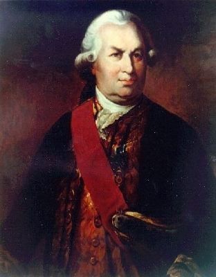
François Joseph Paul de Grasse
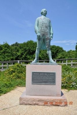
— Cape Henry Memorial, Colonial National Historical Park —
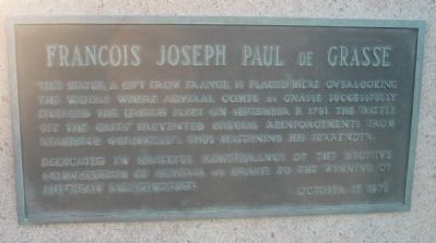
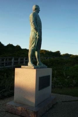
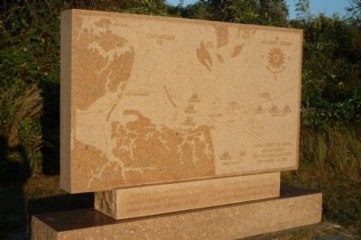
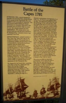
This statue, a gift from France is placed here, overlooking the waters where Admiral Comte de Grasse successfully engaged the British Fleet on September 5, 1781. The “Battle of the Capes” prevented crucial reinforcements from reaching Cornwallis, thus hastening his surrender.
Dedicated in grateful remembrance of the decisive contribution of Admiral de Grasse to the winning of the American independence. October 17, 1976
Erected 1976 by The Government of France.
Topics and series. This historical marker is listed in these topic lists: Colonial Era • Military • Notable Events • War, US Revolutionary • Waterways & Vessels. In addition, it is included in the The Washington-Rochambeau Route series list. A significant historical month for this entry is September 1951.
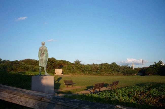
Location. 36° 55.691′ N, 76° 0.568′ W. Marker is in Virginia Beach, Virginia. It is in Fort Story. Follow U.S. 60 (Atlantic Avenue/Shore Road) into the First Landing State Park and enter the Fort Story military compound. Obtain directions at gate and proceed to the Cape Henry Memorial parking lot - corner of Atlantic Avenue and New Guinea Road. The memorial site is within Fort Story, but it is part of the National Park Service's Colonial National Historical Park. The marker is on the base of the Admiral de Grasse statue, north of the parking area. Touch for map. Marker is in this post office area: Virginia Beach VA 23459, United States of America. Touch for directions.
Other nearby markers. At least 8 other markers are within walking distance of this marker. French British Naval Engagement Off the Virginia Capes (within shouting distance of this marker); Battle of the Capes 1781 (within shouting distance of this marker); Battle of the Capes (within shouting distance of this marker); Cape Henry Memorial (within shouting distance of this marker); First Landing (approx. 0.2 miles away); First Public Works Project of the United States Government (approx. 0.2 miles away); History of Cape Henry Lighthouse (approx. 0.2 miles away); British Naval Blockade and Cape Henry Lighthouse / The War of 1812 (approx. 0.2 miles away). Touch for a list and map of all markers in Virginia Beach.
Related marker. Click here for another marker that is related to this marker.
Also see . . .
1. François Joseph Paul de Grasse. (Submitted on October 14, 2009, by Richard E. Miller of Oxon Hill, Maryland.)
2. French Navy. (Submitted on October 14, 2009, by Richard E. Miller of Oxon Hill, Maryland.)
3. Washington-Rochambeau Revolutionary Route, National Park Service. (Submitted on August 19, 2019.)
4. The National Washington-Rochambeau Revolutionary Route Association Inc. (Submitted on August 19, 2019.)
Additional keywords.
Franco-American Alliance; Marine Royale; La Marine militaire de la France; flagship, Ville de Paris; Royal Navy; Second Battle of the Virginia Capes; Battle of the Chesapeake; U.S. Bicentennial; Colonial National Memorial Park.
Credits. This page was last revised on February 1, 2023. It was originally submitted on October 13, 2009, by Richard E. Miller of Oxon Hill, Maryland. This page has been viewed 2,668 times since then and 60 times this year. Last updated on July 13, 2010, by Richard E. Miller of Oxon Hill, Maryland. Photos: 1, 2, 3. submitted on October 13, 2009, by Richard E. Miller of Oxon Hill, Maryland. 4, 5. submitted on October 14, 2009, by Richard E. Miller of Oxon Hill, Maryland. 6, 7. submitted on October 17, 2009, by Richard E. Miller of Oxon Hill, Maryland. 8. submitted on December 22, 2010, by Sandra Hughes Tidwell of Killen, Alabama, USA. • Kevin W. was the editor who published this page.
