Ninety Six in Greenwood County, South Carolina — The American South (South Atlantic)
Gouedy Trail and Charleston Road
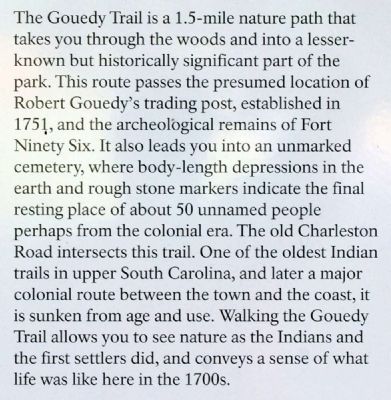
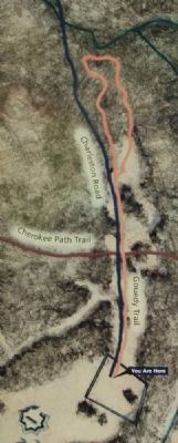
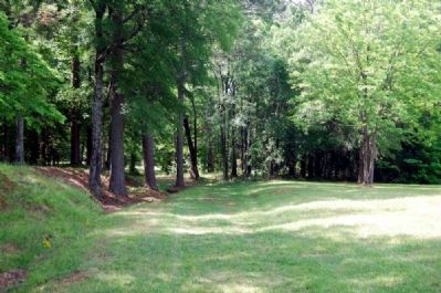
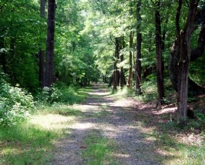
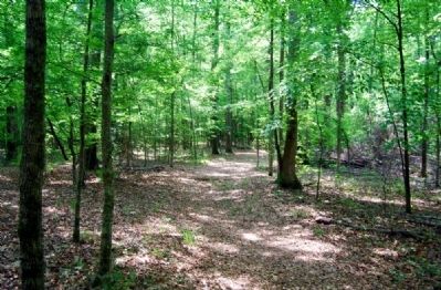
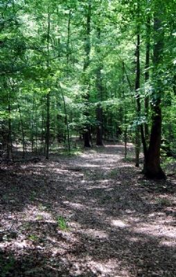
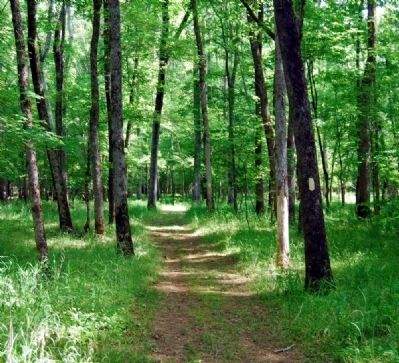
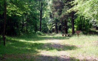
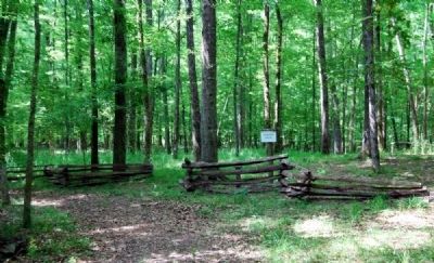
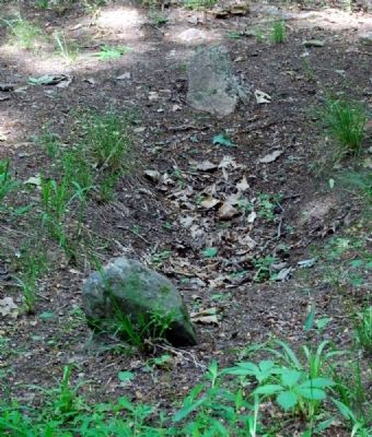
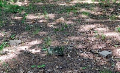
The Gouedy trail is a 1.5-mile nature path that takes you through the woods and into a lesser known for historically significant part of the park. This route passes the presumed location of Robert Gouedy's trading post, established in 1751, and the archaeological remains of Fort Ninety Six. It also leads you into an unmarked cemetery, where body-length depressions in the earth and rough stone markers indicate the final resting place of about 50 unnamed people perhaps from the colonial era. The old Charleston Road intersects this trail. One of the oldest Indian trails in upper South Carolina, and later a major colonial route between the town and the coast, it is sunken from are and use. Walking the Gouedy Trail allows you to see nature as the Indians and the first settlers did, and conveys a sense of what life was like here in the 1700s.
Cherokee Attacks of 1760
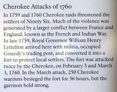
In 1759 and 1760 Cherokee raids threatened the settlers of Ninety Six. Much of the violence was generated by a larger conflict between France and England, known as the French and Indian War. In late 1759, Royal Governor William Henry Lyttelton arrived here with militia, occupied Gouedy's trading post, and converted it into a fort to protect local settlers. The fort was attacked twice by the Cherokee, on February 3 and March 3, 1760. In the March attack, 250 Cherokee warriors besieged the fort for 36 hours, but the garrison held strong.
Erected 2009 by National Park Service.
Topics. This historical marker is listed in these topic lists: Cemeteries & Burial Sites • Colonial Era • Native Americans • Roads & Vehicles. A significant historical month for this entry is February 1914.
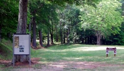
Location. 34° 8.658′ N, 82° 1.185′ W. Marker is in Ninety Six, South Carolina, in Greenwood County. Marker can be reached from South Cambridge Street (State Highway 248). Marker is located on the grounds of Ninety Six National Historic Site, near the start of the Gouedy Trail. Touch for map. Marker is in this post office area: Ninety Six SC 29666, United States of America. Touch for directions.
Other nearby markers. At least 10 other markers are within walking distance of this marker. Why Did the British Burn Ninety Six? (within shouting distance of this marker); Woman and Child (within shouting distance of this marker); Law and Order in the Carolina Backcountry (about 300 feet away, measured in a direct line); Ninety Six (about 300 feet away); The American Revolution Comes to the South (about 400 feet away); Spring Branch (about 500 feet away); Covered Way (about 600 feet away); The Star Fort (about 700 feet away); The Forlorn Hope (about 700 feet away); The Attack (about 700 feet away). Touch for a list and map of all markers in Ninety Six.
Also see . . .
1. The Gowdy Family in South Carolina - Robert Gouedy. No one is certain how the village Ninety Six got its name. (Submitted on July 24, 2010, by Brian Scott of Anderson, South Carolina.)
2. The Gowdy Family in South Carolina - James Gouedy. Below is the tombstone of James Gouedy, son of Indian trader Robert Gouedy from the Ninety Six District. (Submitted on July 24, 2010, by Brian Scott of Anderson, South Carolina.)
3. French and Indian War. The French and Indian War is the common U.S. name for the war between Great Britain and France in North America from 1754 to 1763. (Submitted on July 26, 2010, by Brian Scott of Anderson, South Carolina.)
4. William Lyttelton, 1st Baron Lyttelton. William Henry Lyttelton, 1st Baron Lyttelton (24 December 1724 – 14 September 1808) was the youngest son of Sir Thomas Lyttelton, 4th Baronet. (Submitted on July 26, 2010, by Brian Scott of Anderson, South Carolina.)
Additional commentary.
1. Gouedy's Trading Post
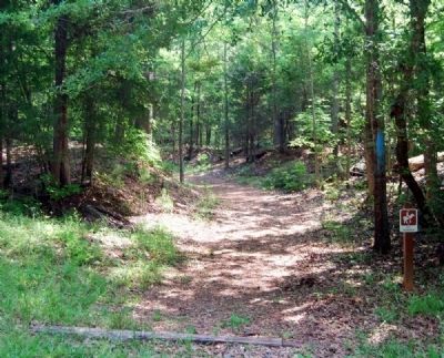
The Gouedy Trail is a loop approximately 1 1/2 miles in length. It was designed to immerse visitors in the natural environment and to make accessible one of the most archaeologically significant and least known areas of the park. archaeology done by Dr. Stanley South in the early 1970s revealed several significant sites. You can explore them by following the trail down the old Charleston Road. Follow the signs through the field and into the woods. From there follow the blue paint blazes on the trees.
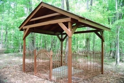
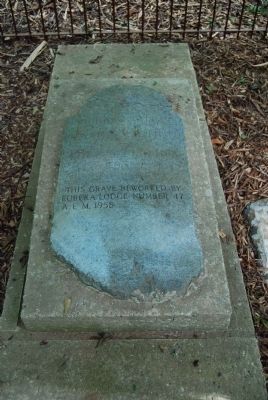
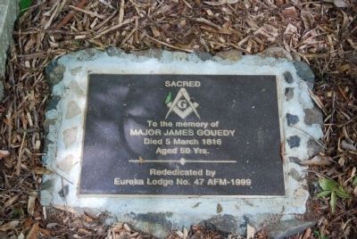
In you decide to walk this informative trail take a brochure from the box at the Gouedy Trail sign. It will be your guide as you view sites from the park's earliest days, including the sunken remains of the original Cherokee Path, the site of Hamilton's survey line, the suspected site of Fort Ninety Six (ca. 1759), a house cellar (ca. 1790s), the grave of Robert Gouedy's son (Major James Gouedy), and the "Unidentified Cemetery," containing about fifty graves of unknown persons. James Gouedy died in 1816 at age fifty, a well-respected member of the community. A Masonic emblem is on his gravesite.
Shortly after leaving the town site the trail will make a bend to the left; at this point you are crossing Hamilton's 1751 survey line, an important landmark in the early settlement of the area. Soon after, you will cross the Cherokee Path, one of the many trading routes that make Ninety Six important. A short while later the trail will break off from the Charlotte Road and enter the woods to the right, near the site of Gouedy's trading post.
Here the Cherokee launched two attacks against Gouedy's fortified barn. This remote site was a major supply depot on the trade road from Charleston to the Cherokee villages. Thousands of soldiers, Indians, settlers, traders and slaves passed through here.
Gouedy's flourishing trade included cloth, beads, needles, tools, gunpowder, lead, rum and other necessities. In 1759 the militia built a ninety-square foot stockade around his barn for protection. Known as Fort Ninety Six, this fortification was the one attacked by Cherokees in February and March of 1760.
At the site you will see a depression on the ground; this is a brick-lined cellar that archaeologists explored in 1996. Once thought to be part of the trading post, archaeology has shown that it is a nineteenth-century foundation. Down the trail to your right are about fifty graves. Many are marked by body-length depressions and simple unmarked head and footstones. While this area is thought to be the site of Gouedy's trading post and the first Fort Ninety Six, the locations of the structures have yet to be found.
If you have time, walking the Gouedy Trail is a must. You will get a true appreciation for the rural scenery that Ninety Six's first settlers experienced. (Source: Old Ninety Six: A History and Guide by Robert Dunkerly, Robert M. Dunkerly, Eric Williams (2006) pgs 61-62.)
— Submitted July 25, 2010, by Brian Scott of Anderson, South Carolina.
Credits. This page was last revised on November 19, 2020. It was originally submitted on July 24, 2010, by Brian Scott of Anderson, South Carolina. This page has been viewed 1,170 times since then and 44 times this year. Photos: 1, 2, 3, 4, 5, 6, 7, 8, 9, 10, 11. submitted on July 24, 2010, by Brian Scott of Anderson, South Carolina. 12, 13, 14. submitted on September 9, 2008, by Brian Scott of Anderson, South Carolina. 15, 16, 17. submitted on July 24, 2010, by Brian Scott of Anderson, South Carolina.
