Near Goliad in Goliad County, Texas — The American South (West South Central)
Site of Mission Nuestra Señora del Rosario
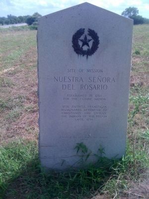
Photographed by Steve Gustafson, June 13, 2010
1. Site of Mission Nuestra Señora del Rosario Marker
for the Cujane Nation.
Here faithful Franciscan
missionaries attempted to
Christianize and civilize
the Indians of the region
until 1794.
Erected 1936 by State of Texas. (Marker Number 4833.)
Topics and series. This historical marker is listed in these topic lists: Colonial Era • Hispanic Americans • Indigenous Peoples and Communities • Religion & Religious Structures. In addition, it is included in the Texas 1936 Centennial Markers and Monuments series list. A significant historical year for this entry is 1754.
Location. 28° 38.704′ N, 97° 26.395′ W. Marker is near Goliad, Texas, in Goliad County. It is on U.S. 59, on the right when traveling east. 4 miles west of Goliad. Touch for map. Marker is in this post office area: Goliad TX 77963, United States of America. Touch for directions.

Regionally, this marker is in South Texas. It is also in the American South. Globally, it is in North America, a Gulf of Mexico state, the Western Hemisphere, the Western World, and the Anglosphere. Historically, it finds itself in what was once New Spain, the Republic of Texas,
this page online
Other nearby markers. At least 8 other markers are within 3 miles of this marker, measured as the crow flies: Mission Nuestra Senora del Rosario (within shouting distance of this marker); Mission Rosario State Historic Site / Sitio Histórico Estatal Misión Nuestra Señora del Rosario (within shouting distance of this marker); Goliad County (within shouting distance of this marker); Blazing New Trails / Abriendo Nuevos Horizontes (within shouting distance of this marker); Bird's Eye View / Vista Aérea (about 300 feet away, measured in a direct line); Lott Cemetery (approx. 2 miles away); Peck Cemetery (approx. 2.8 miles away); Fannin Street United Methodist Church (approx. 3 miles away). Touch for a list and map of all markers in Goliad.
Another marker is no longer nearby. Mission Rosario (was here, next to this marker but has been confirmed missing).
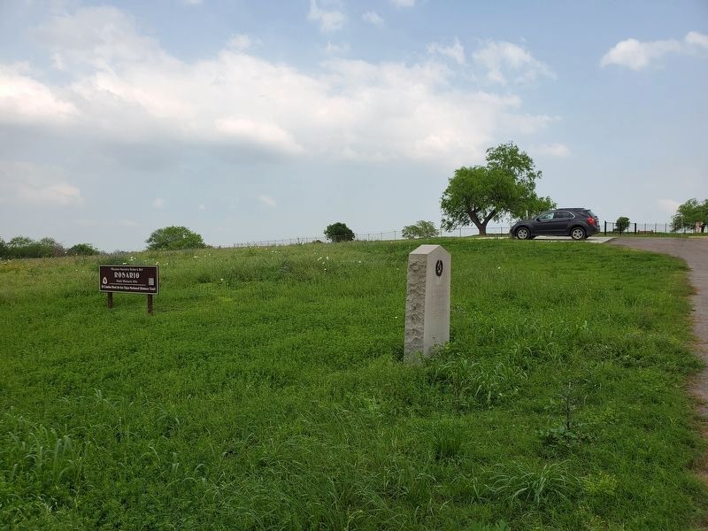
Photographed by Brian Anderson, April 6, 2019
2. Site of Mission Nuestra Señora del Rosario Marker
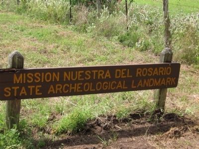
Photographed by Steve Gustafson, June 13, 2010
3. Site of Mission Nuestra Señora del Rosario
Unfortunately this sign is missing the 'Señora' in the site's name.
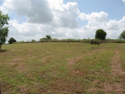
Photographed by Steve Gustafson, June 13, 2010
4. Ruins of Mission Nuestra Señora del Rosario
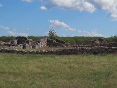
Photographed by Richard Denney, November 2, 2012
5. Photo of some of the ruins
Credits. This page was last revised on October 19, 2019. It was originally submitted on August 10, 2010, by Steve Gustafson of Lufkin, Texas. This page has been viewed 1,292 times since then and 32 times this year. Photos: 1. submitted on August 10, 2010, by Steve Gustafson of Lufkin, Texas. 2. submitted on October 19, 2019, by Brian Anderson of New Albany, Ohio. 3, 4. submitted on August 10, 2010, by Steve Gustafson of Lufkin, Texas. 5. submitted on November 12, 2012, by Richard Denney of Austin, Texas. • Syd Whittle was the editor who published this page.
