
Near Harper in Pendleton County, West Virginia — The American South (Appalachia)
West Virginia
(Pendleton County)
⎯⎯⎯
Virginia
Photographed by Craig Swain, July 10, 2010
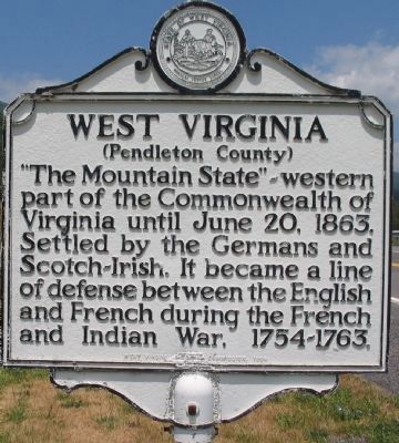
1. West Virginia Side
West Virginia. (Pendleton County). "The Mountain State" - western part of the Commonwealth of Virginia until June 20, 1863. Settled by the Germans and Scotch-Irish. It became a line of defense between the English and French during the French and Indian War, 1754-1763.
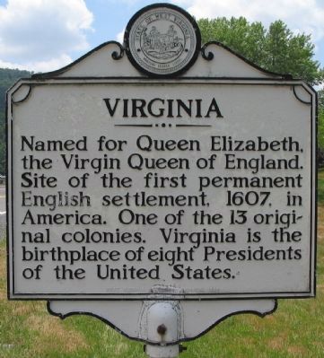
Virginia. Named for Queen Elizabeth, the Virgin Queen of England. Site of the first permanent English settlement, 1607, in America. One of the 13 original colonies. Virginia is the birthplace of eight Presidents of the United States.
Erected 1964 by West Virginia Historic Commission.
Topics and series. This historical marker is listed in these topic lists: Colonial Era • Political Subdivisions • Settlements & Settlers • War, French and Indian • Women. In addition, it is included in the West Virginia Archives and History series list. A significant historical date for this entry is June 20, 1922.
Location. 38° 29.77′ N, 79° 29.901′ W. Marker is near Harper, West Virginia, in Pendleton County. It is on U.S. 220, on the right when traveling south. Touch for map. Marker is in this post office area: Circleville WV 26804, United States of America.
this page online

Regionally, this marker is in West Virginia’s Potomac Highlands. It is also in the American South, specifically in the Upper South, and in Appalachia. Globally, it is in North America, the Western Hemisphere, the Western World, and the Anglosphere. Historically, it finds itself in what was once the territory of the Mississippian Culture.
Other nearby markers. At least 8 other markers are within 8 miles of this marker, measured as the crow flies: Virginia / West Virginia (about 300 feet away, measured in a direct line in Virginia); Johann Zacharias Rexrode, Jr. (approx. 7.1 miles away); Highland Inn (approx. 7.3 miles away in Virginia); The Recorder (approx. 7.3 miles away in Virginia); The Charles Pinckney Jones House (approx. 7.3 miles away in Virginia); The Charles Pinckney Jones Law Office (approx. 7.3 miles away in Virginia); a different marker also named Monterey (approx. 7.3 miles away in Virginia); Walk of Honor (approx. 7.3 miles away in Virginia).
Other markers no longer nearby. Monterey (was approx. 7.3 miles away in Virginia but has been replaced with another marker now near
Photographed by Craig Swain, July 10, 2010
2. Virginia Side
Photographed by Craig Swain, July 10, 2010
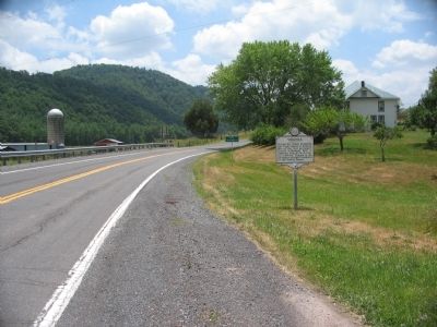
3. West Virginia / Virginia Marker
Photographed by Craig Swain, July 10, 2010
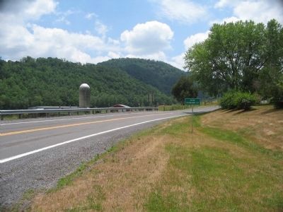
4. State Line
Credits. This page was last revised on August 9, 2026. It was originally submitted on August 17, 2010, by Craig Swain of Leesburg, Virginia. This page has been viewed 877 times since then and 34 times this year. Photos: 1, 2, 3, 4. submitted on August 17, 2010, by Craig Swain of Leesburg, Virginia.
