Sterling in Loudoun County, Virginia — The American South (Mid-Atlantic)
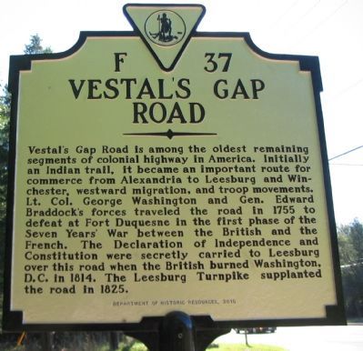
Vestal's Gap Road
Erected 2010 by Department of Historic Resources. (Marker Number F-37.)
Topics and series. This historical marker is listed in these topic lists: Colonial Era • Roads & Vehicles • Settlements & Settlers • War of 1812 • War, French and Indian. In addition, it is included in the Virginia Department of Historic Resources (DHR) series list. A significant historical year for this entry is 1755.
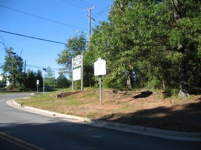
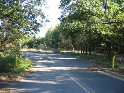
Location. 39° 1.228′ N, 77° 24.522′ W. Marker is in Sterling, Virginia, in Loudoun County. Marker is at the intersection of Cascades Parkway (County Road 1794) and Vestals Gap Road, on the right when traveling north on Cascades Parkway. Located at the north entrance to Claude Moore Park. Touch for map. Marker is in this post office area: Sterling VA 20164, United States of America. Touch for directions.
Other nearby markers. At least 8 other markers are within walking distance of this marker. A different marker also named Vestal's Gap Road (within shouting distance of this marker); George Washington (about 600 feet away, measured in a direct line); a different marker also named The Vestal's Gap Road (approx. 0.2 miles away); a different marker also named George Washington (approx. 0.2 miles away); Guilford Signal Station (approx. ¼ mile away); The Braddock Campaign (approx. 0.3 miles away); a different marker also named Vestal's Gap Road (approx. 0.3 miles away); Lanesville Architecture (approx. 0.3 miles away). Touch for a list and map of all markers in Sterling.
Credits. This page was last revised on June 16, 2016. It was originally submitted on October 9, 2010, by Craig Swain of Leesburg, Virginia. This page has been viewed 918 times since then and 56 times this year. Photos: 1, 2, 3. submitted on October 9, 2010, by Craig Swain of Leesburg, Virginia.


