Amherstburg in Essex County, Ontario — Central Canada (North America)
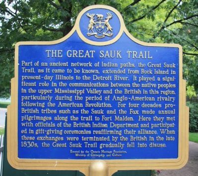
The Great Sauk Trail
Photographed by Dale K. Benington, August 9, 2010
1. The Great Sauk Trail Marker
Erected 1985 by the Ontario Heritage Foundation, Ministry of Citizenship and Culture.
Topics and series. This historical marker is listed in these topic lists: Indigenous Peoples and Communities • Wars, US Indian. In addition, it is included in the Canada, Ontario Heritage Trust series list.
Location. 42° 6.18′ N, 83° 6.786′ W.
this page online

Regionally, this marker is in the Southwest Ontario Area and in Southwestern Ontario. It is also in Central Canada. Globally, it is in North America, on the Great Lakes, in the Western Hemisphere, in the Western World, and in the Anglosphere. Historically, it finds itself in what was once a British colony, the Viceroyalty of New France, the Haudenosaunee (Iroquois) Confederacy, and Rupert’s Land.
Other nearby markers. At least 8 other markers are within walking distance of this marker: The Commissariat Office (within shouting distance of this marker); Park House / La Maison Park (about 90 meters away, measured in a direct line); Amherstburg Navy Yard (about 90 meters away); The Battle of Lake Erie (about 90 meters away); Connection to Town (approx. 0.3 kilometers
Photographed by Dale K. Benington, August 9, 2010
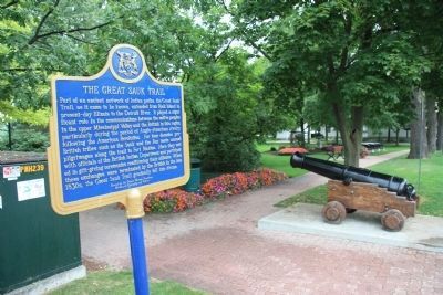
2. The Great Sauk Trail Marker
View of historical marker on the grounds of the Amherstburg Naval Yard Park.
Photographed by Dale K. Benington, August 9, 2010
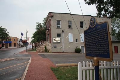
3. The Great Sauk Trail Marker
View from the site of historical marker, looking south along Dalhousie Street.
Credits. This page was last revised on June 16, 2016. It was originally submitted on October 16, 2010, by Dale K. Benington of Toledo, Ohio. This page has been viewed 1,893 times since then and 63 times this year. Photos: 1, 2, 3. submitted on October 16, 2010, by Dale K. Benington of Toledo, Ohio.
