Clarysville near Frostburg in Allegany County, Maryland — The American Northeast (Mid-Atlantic)
Clarysville General Hospital
Center for Healing
Inscription.
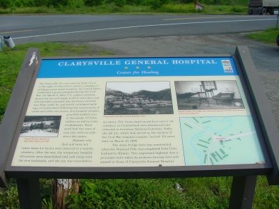
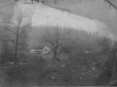
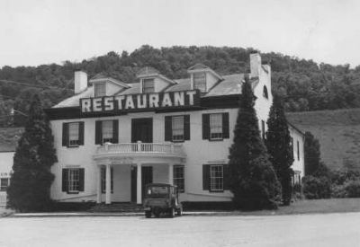
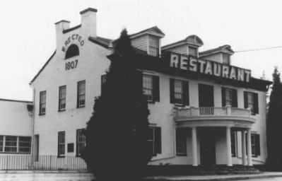
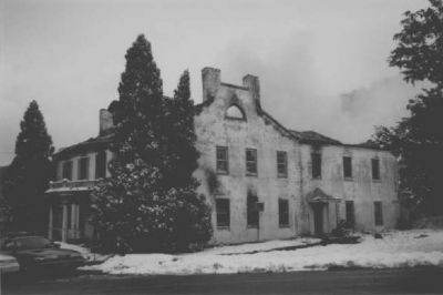
The Clarysville Inn once stood in front of you to the right. In this tavern, and in a complex of buildings constructed around it, the United States established a general hospital during the Civil War. On March 6, 1862, U.S. soldiers commandeered the inn and began to fill it with their sick an wounded comrades who had been crowded into filthy, badly lit, and poorly ventilated buildings in Cumberland. Following the construction of wards and other structures, this hospital complex provided medical care to thousands of Union soldiers as well as some Confederates. Each ward had two rows of iron cots with an aisle down the center.
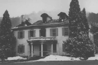
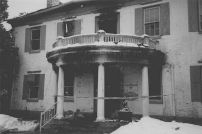
Patients who died and were not taken home for burial were interred in a nearby cemetery. After the war, the temporary hospital structures were demolished and sold along with the iron bedsteads, and the inn was returned to its owner. The union dead buried here and in the cemetery in Cumberland were disinterred and reburied at Antietam National Cemetery. Sadly, the old inn, which had served as the nucleus of the Civil War hospital complex, burned 134 years later on March 10, 1999.
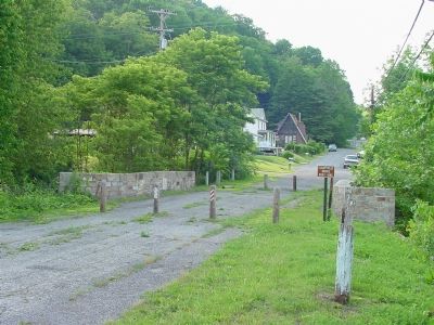
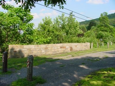
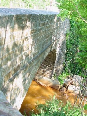
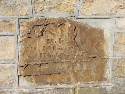
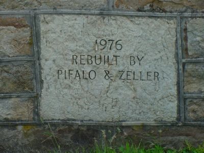
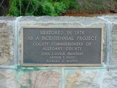
The stone bridge here was constructed when the National Pike was completed from Cumberland to Illinois. This important highway was the principal route taken by pioneers moving west and passed in front of Clarysville General Hospital.
Erected by Maryland Civil War Trails.
Topics and series. This historical marker is listed in these topic lists: Roads & Vehicles • Science & Medicine • Settlements & Settlers • War, US Civil. In addition, it is included in the Maryland Civil War Trails series list. A significant historical month for this entry is March 1987.
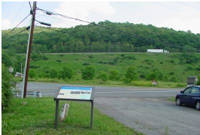
Location. 39° 38.584′ N, 78° 53.349′ W. Marker is near Frostburg, Maryland, in Allegany County. It is in Clarysville. Marker is at the intersection of Clarysville Road SW and Vale Summit Road (Maryland Route 55), on the right when traveling south on Clarysville Road SW. Marker is just a few feet from Route 55's intersection with the National Highway (U.S. 40). Touch for map. Marker is at or near this postal address: 11101 Vale Summit Rd SW, Frostburg MD 21532, United States of America. Touch for directions.
Other nearby markers. At least 8 other markers are within 2 miles of this marker, measured as the crow flies. Veterans Memorial (approx. one mile away); a different marker also named Veterans Memorial (approx. 1.4 miles away); a different marker also named Veterans Memorial (approx. 1.4 miles away); World War I Memorial (approx. 1.4 miles away); Martin’s Plantation (approx. 1.4 miles away); George's Creek Valley (approx. 1.6 miles away); "The Gateway to the West"
(approx. 2 miles away); The National Road (approx. 2 miles away). Touch for a list and map of all markers in Frostburg.
Also see . . .
1. The Cumberland Road. from History of Allegany County Maryland, Vol.1, Thomas & Williams. This page has a picture of the Clarysville Inn. (Submitted on July 16, 2006.)
2. The Final Days of the Clarysville Inn. Photographs taken on the day of the fire that burned the inn in 1999. On the main photograph, the bridge is hidden behind the original Inn building. (Submitted on July 16, 2006.)
3. Clarysville Inn and Old National Road Bridge. 1875 photo of the inn and a quotation about the hospital from Brigade Surgeon Carpenter. (Submitted on July 16, 2006.)
Credits. This page was last revised on April 3, 2023. It was originally submitted on July 16, 2006, by J. J. Prats of Powell, Ohio. This page has been viewed 5,845 times since then and 73 times this year. Last updated on November 4, 2010, by Timothy Carr of Birmingham, Alabama. Photos: 1, 2, 3, 4, 5, 6, 7, 8. submitted on July 16, 2006, by J. J. Prats of Powell, Ohio. 9. submitted on April 27, 2015, by Dop Troutman of Chicago, Illinois. 10, 11, 12, 13, 14. submitted on February 29, 2008, by Christopher Busta-Peck of Shaker Heights, Ohio. • Craig Swain was the editor who published this page.
