Pawleys Island in Georgetown County, South Carolina — The American South (South Atlantic)
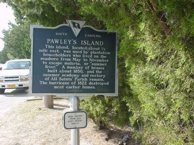
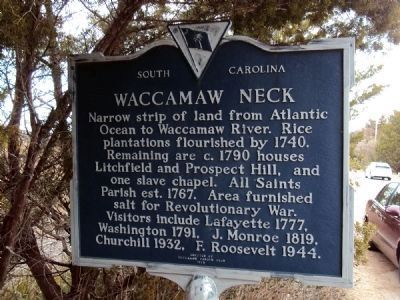
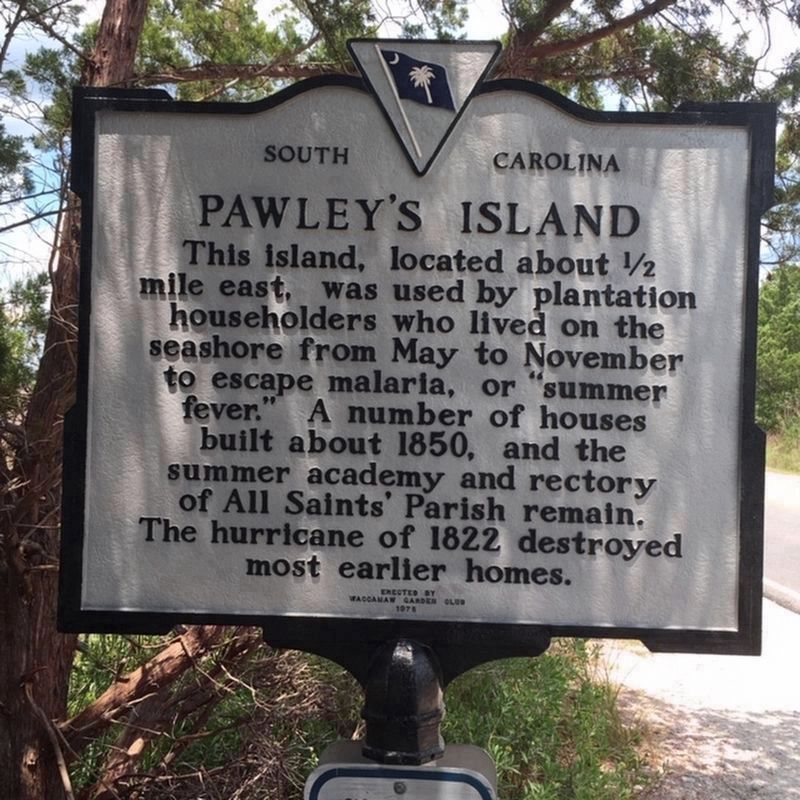
Pawley’s Island / Waccamaw Neck
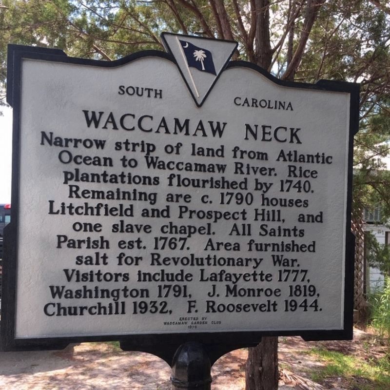
Waccamaw Neck
Erected 1975 by Waccamaw Garden Club. (Marker Number 22-26.)
Topics. This historical marker is listed in these topic lists: Agriculture • Colonial Era • Settlements & Settlers • War, US Revolutionary • Waterways & Vessels. A significant historical year for this entry is 1850.
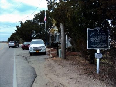
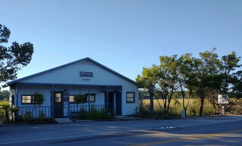
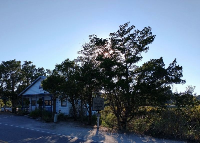
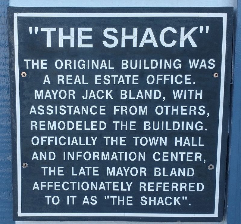
Location. 33° 26.022′ N, 79° 7.27′ W. Marker is on Pawleys Island, South Carolina, in Georgetown County. Marker is on Myrtle Avenue (State Highway S-20-10) near South Causeway Road, on the left when traveling north. Marker is on Pawley's Island itself, in front of Town Hall, a tiny building just north of the intersection with the South Causeway. Touch for map. Marker is in this post office area: Pawleys Island SC 29585, United States of America. Touch for directions.
Other nearby markers. At least 8 other markers are within 2 miles of this marker, measured as the crow flies. Pawleys Island House of Worship (approx. 0.4 miles away); Waverly Building (approx. 0.7 miles away); School House (approx. 0.7 miles away); R.F.W. Allston Causeway (approx. ¾ mile away); R. F. W. Allston House (approx. 0.9 miles away); P. C. J. Weston House / Pelican Inn (approx. 1.1 miles away); Ward House (approx. 1.1 miles away); All Saints Summer Parsonage / The Rectory (approx. 1.2 miles away). Touch for a list and map of all markers in Pawleys Island.
More about this marker. Marker is now on Pawleys Island itself, not "about half mile east" as stated on the inscription. A small sign affixed to the marker's pole reads "Sign moved from old Post Office [on] Hwy. 17."
Regarding Pawley’s Island / Waccamaw Neck. The Pawleys Island Civic Association has erected historical markers in front of many of the 1850's houses. Some of these markers can be found in this database.
Also see . . .
1. Town of Pawleys Island. (Submitted on January 4, 2006.)
2. Pawleys Island: A Lowcountry Tale. A novel by Dorothea Benton Frank. This link is to the Amazon.com page with "Search Inside." (Submitted on February 25, 2006.)
Additional keywords. Washington's Southern Tour
Credits. This page was last revised on September 26, 2021. It was originally submitted on January 1, 2006. This page has been viewed 2,517 times since then and 50 times this year. Last updated on January 11, 2011. Photos: 1. submitted on January 1, 2006. 2, 3. submitted on January 11, 2011, by Jamie Abel of Westerville, Ohio. 4, 5. submitted on July 5, 2019, by Randy Tucker of Greenville, South Carolina. 6, 7, 8. submitted on September 24, 2021, by Tom Bosse of Jefferson City, Tennessee. • Kevin W. was the editor who published this page.
