Near Sylvester in Worth County, Georgia — The American South (South Atlantic)
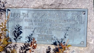
1703-’04 Thigpen Trail
Photographed by David Seibert, January 23, 2011
1. 1703-’04 Thigpen Trail Marker
Military road from Georgia Mountains to St. Marks Florida
Cut by James Thigpen for Col. Moore of Carolina
Erected 1929 by Barnard Trail Chapter Daughters of the American Revolution (DAR).
Topics and series. This historical marker is listed in these topic lists: Indigenous Peoples and Communities • Roads & Vehicles • Settlements & Settlers • Wars, US Indian. In addition, it is included in the Daughters of the American Revolution (DAR) series list.
Location. 31° 32.983′ N, 83° 53.733′ W. Marker is near Sylvester, Georgia, in Worth County. It is on U.S. 82 0.2 miles west of Airport Road, on the right when traveling west. The marker is in a clump of brush off the road, near a Georgia Historical Marker at the roadside titled "Thigpen Trail.". Touch for map. Marker is in this post office area: Sylvester GA 31791, United States of America. Touch for directions.

Regionally, this marker is on Georgia’s Coastal Plain. It is also in the American South and specifically in the Deep South. Globally, it is in North America, the Western Hemisphere, the
this page online
Other nearby markers. At least 3 other markers are within 4 miles of this marker, measured as the crow flies: Thigpen Trail (a few steps from this marker); Historic Downtown Sylvester (approx. 3.8 miles away); Worth County (approx. 3.8 miles away).
Photographed by David Seibert, January 23, 2011
2. 1703-’04 Thigpen Trail Marker
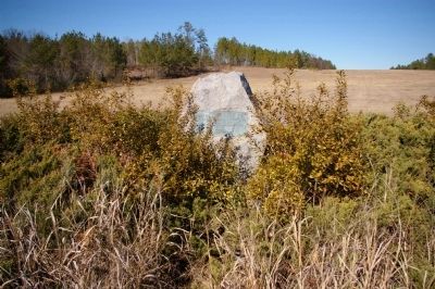
The approach to the runway at the Sylvester Airport is in the background.
Photographed by David Seibert, January 23, 2011
3. 1703-’04 Thigpen Trail Marker
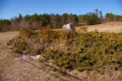
The marker, nicely concealed in a stand of brush.
Photographed by David Seibert, January 23, 2011
4. 1703-’04 Thigpen Trail Marker
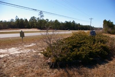
Looking west, with US Highway 82/Georgia Highway 520 in the background. The Georgia Historical Marker at the roadside also marks the Thigpen Trail.
Credits. This page was last revised on February 9, 2025. It was originally submitted on February 5, 2011, by David Seibert of Sandy Springs, Georgia. This page has been viewed 2,173 times since then and 70 times this year. Photos: 1, 2, 3, 4. submitted on February 5, 2011, by David Seibert of Sandy Springs, Georgia. • Craig Swain was the editor who published this page.
