Enighed in St. Thomas, Virgin Islands — The Caribbean (The West Indies)
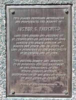
Arthur S. Fairchild
and Perpetuates the Memory of
Arthur S. Fairchild
Long time friend and president of
St. Thomas who on December 27, 1946
donated the major portion of
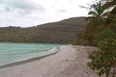
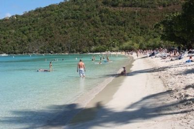
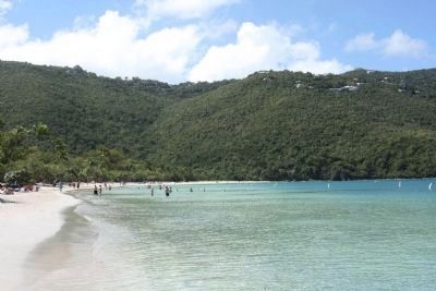
Magens Bay Beach and 56 acres of
land in perpetuity to the municipality
of St. Thomas and St. John.
"The natural beauty and benefits
to be preserved for the enjoyment
of the inhabitants of the
Virgin Islands without
discrimination of any kind by reason
of race, color, or creed."
Erected by People of the Virgin Islands.
Topics. This historical marker is listed in these topic lists: Charity & Public Work • Environment • Parks & Recreational Areas • Waterways & Vessels. A significant historical month for this entry is December 1878.
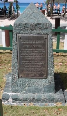
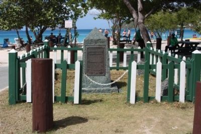
Location. 18° 21.848′ N, 64° 55.333′ W. Marker is in Enighed in St. Thomas, Virgin Islands. Marker is on Magens Bay Road (Local Route 35), in the median. Located at Magens Bay Beach. Touch for map. Marker is in this post office area: St Thomas VI 00804, United States of America. Touch for directions.
Other nearby markers. At least 8 other markers are within 2 miles of this marker, measured as the crow flies. Skytsborg (approx. 1˝ miles away); Frederick Lutheran Church Parsonage (approx. 1.6 miles away); St. Thomas Reformed Church (approx. 1.6 miles away); Frederick Lutheran Church (approx. 1.6 miles away); The Jacob H. S. Lind House (approx. 1.6 miles away); St. Thomas Community Bandmaster (approx. 1.7 miles away); America's First Lady Addressed the People of St. Thomas (approx. 1.7 miles away); Landing of Virginia Settlers (approx. 1.7 miles away).
Credits. This page was last revised on March 12, 2021. It was originally submitted on February 22, 2011, by Mike Stroud of Bluffton, South Carolina. This page has been viewed 2,090 times since then and 49 times this year. Photos: 1, 2, 3, 4, 5, 6, 7. submitted on February 24, 2011, by Mike Stroud of Bluffton, South Carolina.
