Dayton in Rhea County, Tennessee — The American South (East South Central)
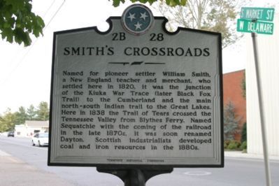
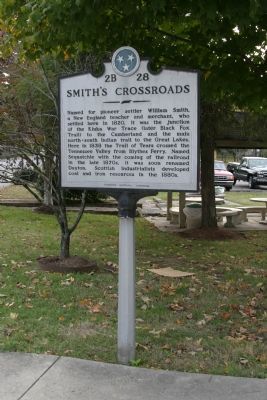
Smith’s Crossroads
Erected by Tennessee Historical Commission. (Marker Number 2B 28.)
Topics and series. This historical marker is listed in these topic lists: Industry & Commerce • Native Americans • Roads & Vehicles • Settlements & Settlers • War, French and Indian. In addition, it is included in the Tennessee Historical Commission, and the Trail of Tears series lists. A significant historical year for this entry is 1820.
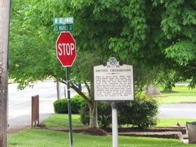
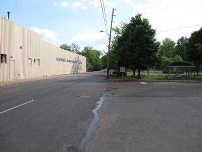
Location. 35° 29.233′ N, 85° 1.165′ W. Marker is in Dayton, Tennessee, in Rhea County. Marker is at the intersection of Market Street (Tennessee Route 27) and W. Delaware Avenue, on the right when traveling south on Market Street. Touch for map. Marker is in this post office area: Dayton TN 37321, United States of America. Touch for directions.
Other nearby markers. At least 8 other markers are within walking distance of this marker . Old Cornerstone / Smith's Crossroads (within shouting distance of this marker); Site of F.R. Rogers Home (about 500 feet away, measured in a direct line); Broyles-Darwin House (approx. 0.2 miles away); Walter F. Thomison Home (approx. 0.2 miles away); First United Methodist Church (approx. 0.2 miles away); F.E. Robinson's Drug Store, Aqua Hotel, Cumberland Presbyterian Church (approx. half a mile away); Bailey Hardware (approx. half a mile away); John Morgan Furniture (approx. 0.6 miles away). Touch for a list and map of all markers in Dayton.
Credits. This page was last revised on December 17, 2019. It was originally submitted on December 8, 2007, by R. E. Smith of Nashville, Tennessee. This page has been viewed 2,400 times since then and 37 times this year. Photos: 1, 2. submitted on December 8, 2007, by R. E. Smith of Nashville, Tennessee. 3, 4. submitted on May 7, 2010, by Lee Hattabaugh of Capshaw, Alabama. • Kevin W. was the editor who published this page.


