Near Harman in Randolph County, West Virginia — The American South (Appalachia)
Tory Camps / Seneca Trail
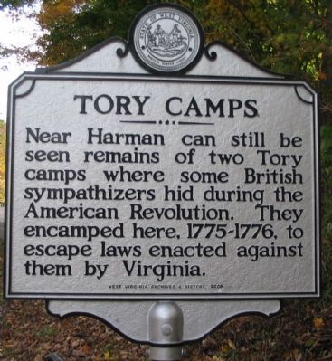
Near Harman can still be seen remains of two Tory camps where some British sympathizers hid during the American Revolution. They encamped here, 1775-1776, to escape laws enacted against them by Virginia.
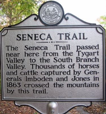
The Seneca Trail passed near here from the Tygart Valley to the South Branch Valley. Thousands of horses and cattle captured by Generals Imboden and Jones in 1863 crossed the mountains by this trail.
Erected 2008 by West Virginia Archives and History.
Topics and series. This historical marker is listed in these topic lists: Native Americans • Roads & Vehicles • War, US Civil • War, US Revolutionary. In addition, it is included in the West Virginia Archives and History series list. A significant historical year for this entry is 1863.
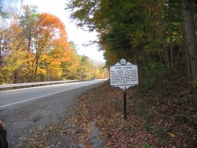
Location. 38° 53.82′ N, 79° 32.933′ W. Marker is near Harman, West Virginia, in Randolph County. Marker is on U.S. 33, on the right when traveling south. Touch for map. Marker is in this post office area: Harman WV 26270, United States of America. Touch for directions.
Other nearby markers. At least 8 other markers are within 11 miles of this marker, measured as the crow flies. Veterans Memorial (approx. 2.1 miles away); Big Lime and Big Injun (approx. 2˝ miles away); Pendleton County / Randolph County (approx. 4.4 miles away); John Wolford (approx. 7˝ miles away); Camp Luther (approx. 10.2 miles away); An 1800’s Garden! (approx. 10.3 miles away); A Melting Pot House (approx. 10.4 miles away); Sites Homestead (approx. 10.4 miles away). Touch for a list and map of all markers in Harman.
Credits. This page was last revised on June 16, 2016. It was originally submitted on October 14, 2009, by Craig Swain of Leesburg, Virginia. This page has been viewed 1,283 times since then and 32 times this year. Last updated on April 5, 2011, by Richard Stanley of Charlottesville, Virginia. Photos: 1, 2, 3. submitted on October 14, 2009, by Craig Swain of Leesburg, Virginia.


