Stafford in Stafford County, Virginia — The American South (Mid-Atlantic)
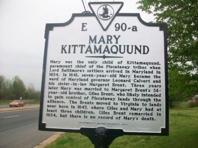
Mary Kittamaquund
Photographed by Kathy Walker, April 19, 2011
1. Mary Kittamaquund Marker
Erected 2010 by Department of Historic Resources. (Marker Number E 90-a.)
Topics and series. This historical marker is listed in these topic lists: Colonial Era • Indigenous Peoples and Communities • Settlements & Settlers • Women. In addition, it is included in the Virginia Department of Historic Resources (DHR) series list. A significant historical year for this entry is 1634.
Location. 38° 27.001′ N, 77° 24.151′ W. Marker is in Stafford, Virginia, in Stafford County. It is at the intersection of Richmond
this page online

Regionally, this marker is in the Washington Metropolitan Area, in Northern Virginia, and in the Piedmont. It is also in the American South, specifically in the Upper South, in the Mid-Atlantic, and on the Eastern Seaboard. Globally, it is in the North Atlantic Region, North America, the Western Hemisphere, the Western World, and the Anglosphere. Historically, it finds itself in what was once the territory of the Mississippian Culture, one of the original Thirteen Colonies, one of the Confederate States of America, and the Antebellum South.
Other nearby markers. At least 8 other markers are within 2 miles of this marker, measured as the crow flies: Peyton’s Ordinary (approx. 0.2 miles away); Government Island (approx. 0.8 miles away); a different marker also named Government Island (approx. 0.8 miles away); Fleurries (approx. one mile away); John Peyton of Stony Hill (approx. one mile away); Aquia Church
Photographed by Kathy Walker, April 19, 2011
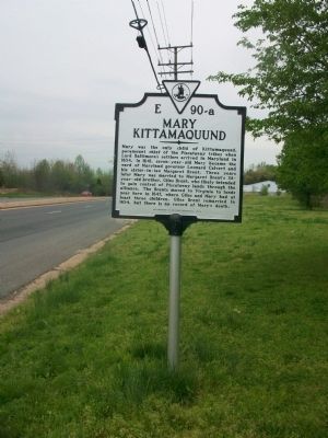
2. Mary Kittamaquund Marker
Photographed by Kathy Walker, April 19, 2011
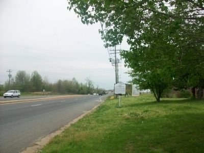
3. Mary Kittamaquund Marker
View looking North on Route 1. There is no place to pull over. Post office is on the right in this photo. Best to park in the shopping center lot just south at Foreston Woods Dr.
Credits. This page was last revised on April 18, 2020. It was originally submitted on April 19, 2011, by Kathy Walker of Stafford, Virginia. This page has been viewed 3,648 times since then and 108 times this year. Photos: 1, 2, 3. submitted on April 19, 2011, by Kathy Walker of Stafford, Virginia. • Bill Pfingsten was the editor who published this page.
