South Charleston in Kanawha County, West Virginia — The American South (Appalachia)
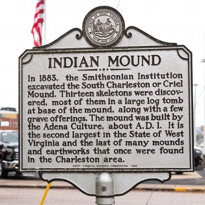
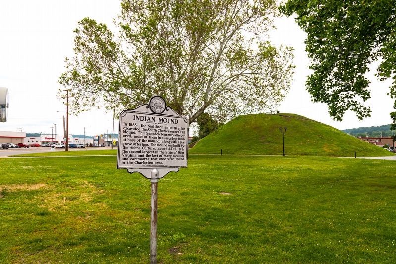
Indian Mound
Erected 1963 by West Virginia Historic Commission.
Topics and series. This historical marker is listed in these topic lists: Anthropology & Archaeology • Cemeteries & Burial Sites • Native Americans. In addition, it is included in the West Virginia Archives and History series list. A significant historical year for this entry is 1883.
Location. 38° 22.144′ N, 81° 41.847′ W. Marker is in South Charleston, West Virginia, in Kanawha County. Marker is at the intersection of MacCorkle Avenue (U.S. 60) and Oakes Avenue, on the left when traveling west on MacCorkle Avenue. It is in Criel Mound park, at the northern end of South Charleston’s D Street shopping district. Touch for map. Marker is at or near this postal address: 301 7th Ave, Charleston WV 25303, United States of America. Touch for directions.
Other nearby markers. At least 8 other markers are within walking distance of this marker. Adena Trade and Technology (within shouting distance of this marker); Ancient 500 B.C. Culture Unearthed (within shouting distance of this marker); Respect for an Ancient Culture (within shouting distance of this marker); Kanawha Valley Mound Builders (within shouting distance of this marker); Adena Way of Life (within shouting distance of this marker); Burial Mound of the Adena Indians (about 300 feet away, measured in a direct line); Vietnam War Memorial (about 500 feet away); World War II Memorial (about 500 feet away). Touch for a list and map of all markers in South Charleston.
Also see . . . Wikipedia entry. Excerpt:
The mound was originally conical in shape. Residents of the area leveled the top in 1840 to erect a judges' stand, as they ran horse races around the base of the mound at the time.(Submitted on May 22, 2023.)
The Criel Mound was excavated in 1883–84 under the auspices of the US Bureau of Ethnology and the supervision of Col. P.W. Norris. The excavation was performed by Professor Cyrus Thomas of the Smithsonian Institution. Inside the mound, Professor Thomas found thirteen skeletons: two near the top of the mound, and eleven at the base. The skeletons at the base consisted of a single very large but badly decayedskeleton at the center, a “once most powerful man” which according to A.R. Sines who assisted Col. Norris in the excavation, measured “Six feet, 8 3–4 inches” from head to heel (the Smithsonian nomination form added “but the extreme height indicated might have been an exaggeration created by earth pressing down on the burial”).
This skeleton was surrounded by ten other skeletons arranged in a spoke-like pattern, with their feet pointing toward the central skeleton. The skeletons at the base had been wrapped in elm bark and were lying on a floor of white ash and bark. Several artifacts were found buried with the skeletons, including arrowheads, lanceheads, and shell and pottery fragments. The central skeleton was accompanied by a fish-dart, a lance-head, and a sheet of hammered native copper near the head. Holes found at the base of the mound suggest that the bodies at the base had been enclosed in a wooden vault.
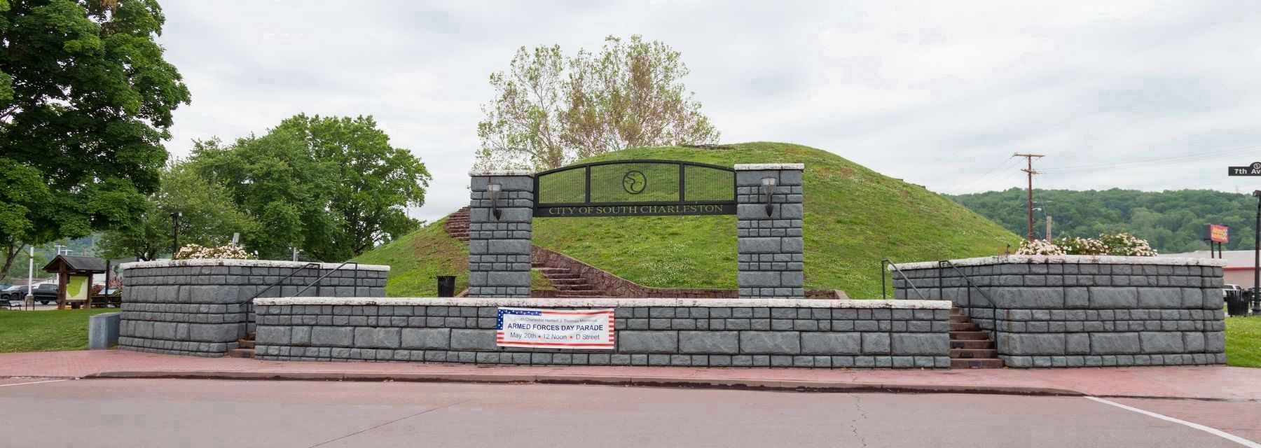
Photographed By J. J. Prats, May 15, 2023
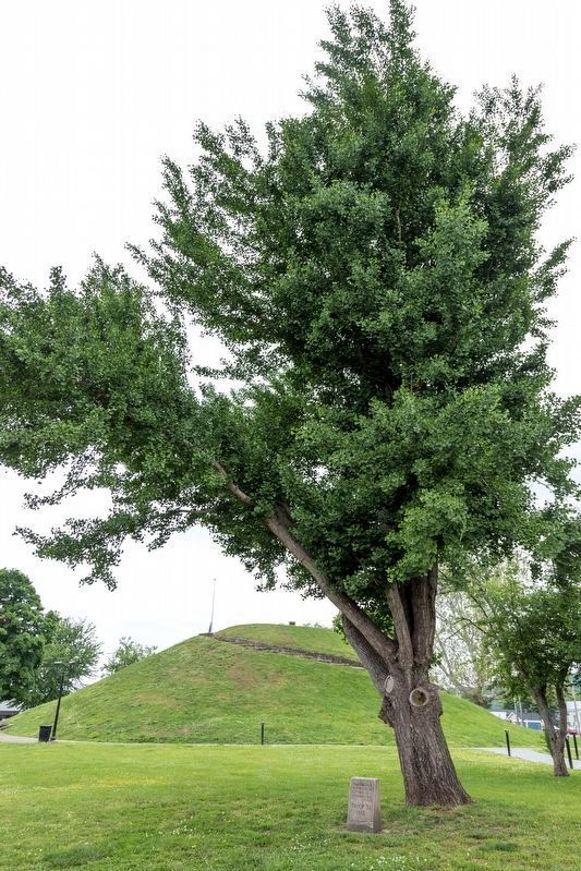
4. Criel Mound Park
The marker is at the far left corner (northwest corner) of the park, out of view in this image. This view is from the South Charleston shopping district. The pavement in front of the grand entrance is 7th Street. D Street is behind the photographer. Two stonework stairways wind to the top of the mound, where there is a small platform and bench. When this photo was taken, the City of South Charleston provided two free Level 2 electric vehicle charging stations among the parking slots, one at the southeast corner of the park (out of frame to the right of this photo) on 7th Avenue and one on Oakes Avenue.
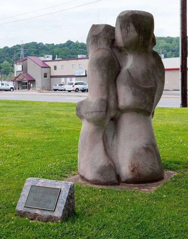
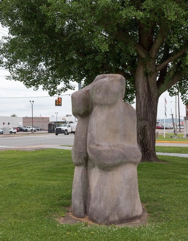
1979 sandstone sculpture photographed by J.J. Prats, May 15, 2023
5. “Burial Attendants” by Cubert Smith
The Smithsonian Art Inventories Catalog describes the artwork
Three abstract figures moving in a circle as if in a ritual dance. The figures gaze towards the southwest, northwest, and east. The texture of the figures is smooth, while the space between the figures is rough.
Credits. This page was last revised on May 22, 2023. It was originally submitted on July 30, 2011, by David H Ray of Aberdeen, Maryland. This page has been viewed 854 times since then and 58 times this year. Photos: 1, 2. submitted on May 21, 2023, by J. J. Prats of Powell, Ohio. 3. submitted on May 22, 2023, by J. J. Prats of Powell, Ohio. 4. submitted on May 21, 2023, by J. J. Prats of Powell, Ohio. 5, 6, 7. submitted on May 22, 2023, by J. J. Prats of Powell, Ohio. • Bill Pfingsten was the editor who published this page.
