Daytona Beach in Volusia County, Florida — The American South (South Atlantic)
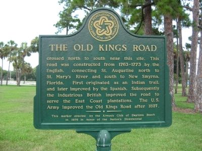
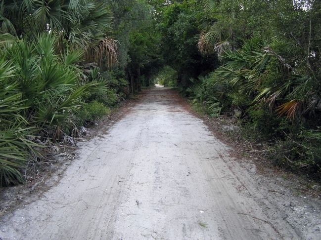
The Old Kings Road
Erected 1976 by the Kiwanis Club of Daytona Beach in honor of the Nation's Bicentennial.
Topics and series. This historical marker is listed in these topic lists: Agriculture • Colonial Era • Roads & Vehicles. In addition, it is included in the The Spirit of ’76, America’s Bicentennial Celebration series list. A significant historical year for this entry is 1827.
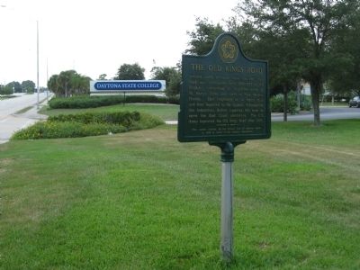
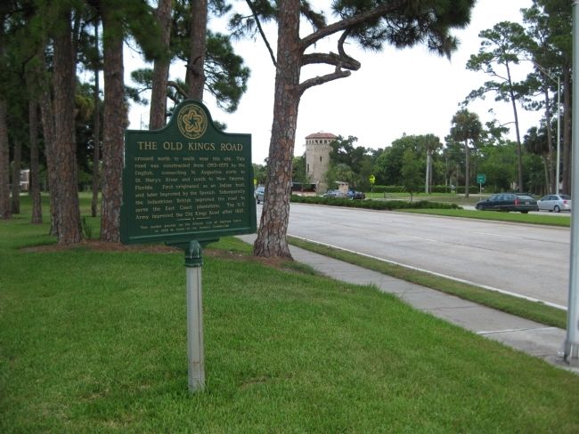
Location. 29° 12.026′ N, 81° 2.857′ W. Marker is in Daytona Beach, Florida, in Volusia County. Marker is on West International Speedway Boulevard (U.S. 92) west of White Street, on the right when traveling west. The marker is in front of the campus of Daytona State College, just east of the school's main entrance off U.S. 92. Touch for map. Marker is in this post office area: Daytona Beach FL 32114, United States of America. Touch for directions.
Other nearby markers. At least 8 other markers are within 2 miles of this marker, measured as the crow flies. Betty Jane France (approx. half a mile away); World War I Veterans Memorial (approx. half a mile away); Dr. Martin Luther King, Jr. Time Capsule (approx. ¾ mile away); Kelly Field and Jackie Robinson (approx. 0.8 miles away); Cypress Street Elementary School (approx. one mile away); The Home of Mr. Harold V. Lucas, Sr. (approx. 1.1 miles away); E. Glenn “Fireball” Roberts (approx. 1.2 miles away); Veterans Memorial (approx. 1.2 miles away). Touch for a list and map of all markers in Daytona Beach.
More about this marker. The marker is capped with the American Revolution Bicentennial Commission logo.
Credits. This page was last revised on October 14, 2020. It was originally submitted on August 3, 2011, by Glenn Sheffield of Tampa, Florida. This page has been viewed 1,065 times since then and 52 times this year. Photos: 1, 2, 3. submitted on August 3, 2011, by Glenn Sheffield of Tampa, Florida. 4. submitted on March 7, 2012, by PaulwC3 of Northern, Virginia. • Bill Pfingsten was the editor who published this page.


