Luray in Page County, Virginia — The American South (Mid-Atlantic)
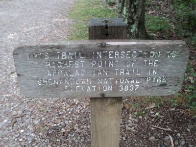
Appalachian Trail High Point
highest point of the
Appalachian Trail in
Shenandoah National Park.
Elevation 3837
Topics. This historical marker is listed in these topic lists: Man-Made Features • Roads & Vehicles.
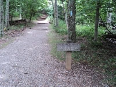
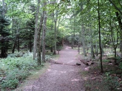
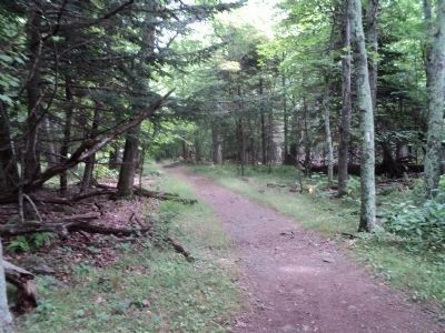
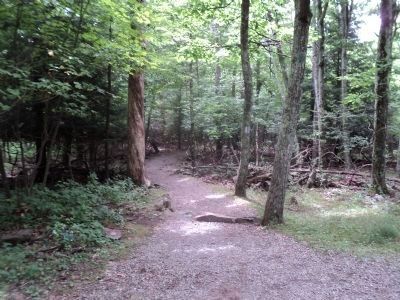
Location. Marker has been reported permanently removed. It was located near 38° 35.909′ N, 78° 22.286′ W. Marker was in Luray, Virginia, in Page County. Marker could be reached from Skyline Drive (at milepost 41.7), on the right when traveling south. Marker is located on the Stony Man Trail at the point where the AT joins the trail. The Stony Man trailhead is reached near the north entrance to the Skyland Resort. Touch for map. Marker was in this post office area: Luray VA 22835, United States of America.
We have been informed that this sign or monument is no longer there and will not be replaced. This page is an archival view of what was.
Other nearby markers. At least 8 other markers are within 3 miles of this location, measured as the crow flies. Stony Man Trailhead (approx. 0.4 miles away); Prelude to a Park (approx. 0.6 miles away); Shenandoah's Centerpiece (approx. 0.7 miles away); Construction of the Skyline Drive (approx. one mile away); Old Man in the Mountain (approx. one mile away); Civilian Conservation Camp (approx. 1.8 miles away); Civilian Conservation Corps (approx. 2.3 miles away); A Home Away From Home? (approx. 2.6 miles away). Touch for a list and map of all markers in Luray.
Credits. This page was last revised on August 15, 2023. It was originally submitted on August 6, 2011, by Bill Coughlin of Woodland Park, New Jersey. This page has been viewed 677 times since then and 27 times this year. Photos: 1, 2, 3, 4, 5. submitted on August 6, 2011, by Bill Coughlin of Woodland Park, New Jersey.
