St. Johns Bluff in Jacksonville in Duval County, Florida — The American South (South Atlantic)
Timucuan Preserve
Fort Caroline National Monument
| — | Timucuan Ecological and Historic Preserve | — |
Photographed by Craig Swain, July 31, 2011
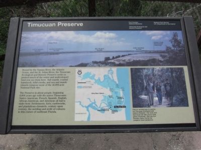
1. Timucuan Preserve Marker
The Preserve is about people, beginning 6,000 years ago with the native Timucuans. Native American, French, Spanish, English, African-American, and American all had a stake here. Settlements, forts, earthworks, and plantations chronicle, century upon century, the melding and strife of cultures in this corner of northeast Florida.
Plan on several days to explore the Timucuan Ecological and Historic Preserve. Car, boat, and foot travel will take you to most points of interest. Visit the Fort Caroline Visitor Center for complete travel assistance.
Erected by National Park Service - U.S. Department of the Interior.
Topics. This historical marker is listed in these topic lists: Colonial Era • Indigenous Peoples and Communities • Natural Features.
Location. 30° 23.293′ N, 81° 29.366′ W.
this page online

Regionally, this marker is in First Coast. It is also in the American South and on the Eastern Seaboard. Globally, it is in the North Atlantic Region, North America, a Gulf of Mexico state, the Western Hemisphere, the Western World, and the Anglosphere. Historically, it finds itself in what was once New Spain, the territory of the Mississippian Culture, one of the Confederate States of America, and the Antebellum South.
Other nearby markers. At least 8 other markers are within walking distance of this marker: New France (here, next to this marker); Ribault Monument (here, next to this marker); Staking a Claim (within shouting distance of this marker); Spanish Pond (approx. half a mile away); The River of May
Photographed by Craig Swain, July 31, 2011
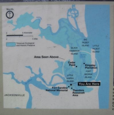
2. Map of the Timucuan Preserve
Also see . . . Timucuan Ecological and Historical Preserve website. (Submitted on August 27, 2011, by Craig Swain of Leesburg, Virginia.)
Photographed by Craig Swain
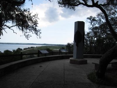
3. Ribault Memorial and Markers
Photographed by Craig Swain
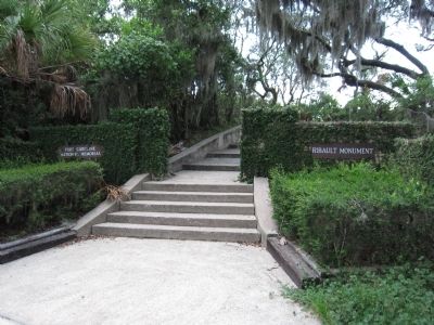
4. Entrance to the Ribault Memorial
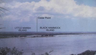
Photographed by Craig Swain, July 31, 2011
5. Left Side of Panorama
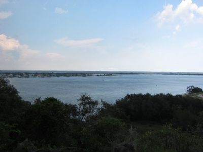
Photographed by Craig Swain, July 31, 2011
6. Little Marsh and Black Hammock Islands
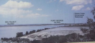
Photographed by Craig Swain, July 31, 2011
7. Right Side of Panorama
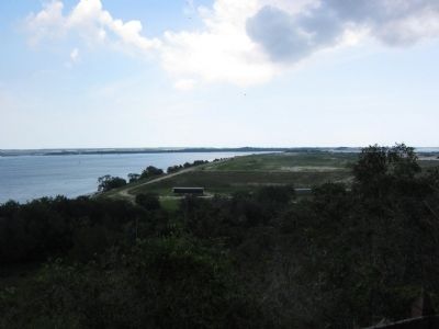
Photographed by Craig Swain, July 31, 2011
8. Big Talbot and Fort George Islands
Credits. This page was last revised on February 3, 2023. It was originally submitted on August 27, 2011, by Craig Swain of Leesburg, Virginia. This page has been viewed 940 times since then and 39 times this year. Photos: 1, 2, 3, 4, 5, 6, 7, 8. submitted on August 27, 2011, by Craig Swain of Leesburg, Virginia.
