Princeton in Worcester County, Massachusetts — The American Northeast (New England)
Redemption Rock
1630 - 1930
Photographed by Roger W. Sinnott, June 4, 2010
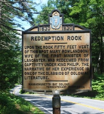
1. Redemption Rock Marker
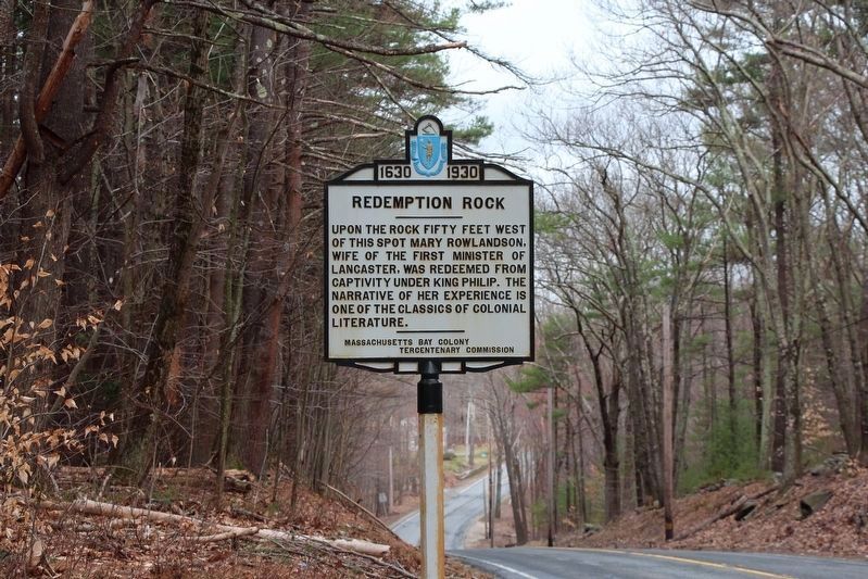
Upon the rock fifty feet west of this spot Mary Rowlandson, wife of the first minister of Lancaster, was redeemed from captivity under King Philip. The narrative of her experience is one of the classics of colonial literature.
Erected 1930 by Massachusetts Bay Colony-Tercentenary Commission.
Topics. This historical marker is listed in these topic lists: Colonial Era • Wars, US Indian • Women.
Location. 42° 30.399′ N, 71° 52.171′ W. Marker is in Princeton, Massachusetts, in Worcester County. It is on Worcester Road (Massachusetts Route 140), on the left when traveling west. Touch for map. Marker is in this post office area: Princeton MA 01541, United States of America. Touch for directions.

Regionally, this marker is in the Quiet Corner and in Greater Worcester. It is also in the American Northeast and in New England. Globally, it is in North America, the Western Hemisphere, the Western World, and the Anglosphere. Historically, it finds itself in what was once one of the original Thirteen Colonies.
Other nearby markers. At least 8 other markers
this page online
Regarding Redemption Rock. Mary Rowlandson (c. 1637-1711) had been captured with her three children on February 10, 1676, by a coalition of the Nipmucs, Narragansetts, and Wampanoags during King Philip’s War. In an ordeal lasting almost 12 weeks she escaped torture and/or death by knitting shirts, socks, caps, and similar garments in return for food.
Related markers. Click here for a list of markers that are related to this marker. To better understand the relationship, study each marker in the order shown.
Also see . . .
1. "Narrative of the Captivity and Restoration of Mrs. Mary Rowlandson".
Photographed by Stephen St. Denis, April 19, 2019
2. Redemption Rock Marker
Recently restored and returned to its original location.
2. Historical markers erected by Massachusetts Bay Colony. Internet Archive website entry:
Original 1930 publication by the Commonwealth of Massachusetts of Tercentenary Commission Markers, commemorating the three hundredth anniversary of the Massachusetts Bay Colony. (Submitted on May 21, 2011, by Russell Chaffee Bixby of Bernardston, Massachusetts.)
3. Princeton Historical Society. Society website homepage:
The Princeton Historical Society was organized in 1937 for the purpose of encouraging antiquarian research and historical study. The Society presents a number of programs throughout the year concerning local history. (Submitted on October 15, 2011, by Russell Chaffee Bixby of Bernardston, Massachusetts.)
Photographed by Roger W. Sinnott, June 24, 2010
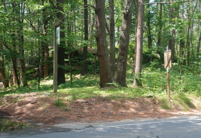
3. Wider View
Photographed by Stephen St. Denis, April 19, 2019
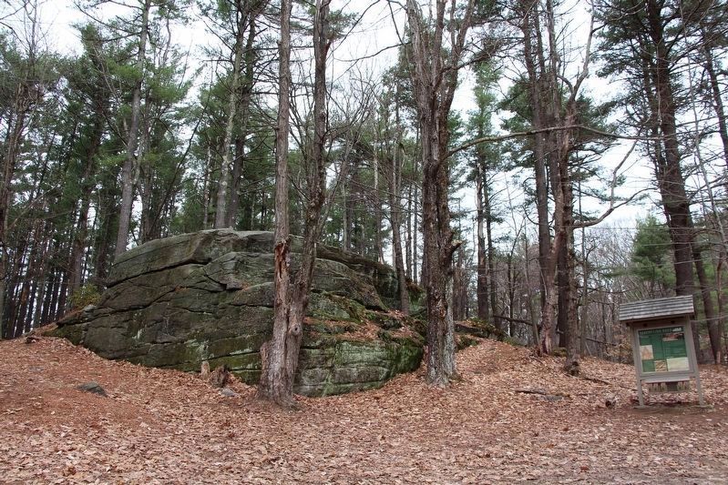
4. Redemption Rock
Redemption Rock from the path a short distance from the historical marker approximately 25 meters west of Massachusetts Route 140.
Credits. This page was last revised on April 20, 2026. It was originally submitted on June 25, 2010, by Roger W. Sinnott of Norwell, Massachusetts. This page has been viewed 1,984 times since then and 52 times this year. Last updated on April 20, 2026, by G.W.Bartlett of Hingham, Massachusetts. Photos: 1. submitted on June 25, 2010, by Roger W. Sinnott of Norwell, Massachusetts. 2. submitted on December 30, 2019, by Stephen St. Denis of Worcester, Massachusetts. 3. submitted on June 25, 2010, by Roger W. Sinnott of Norwell, Massachusetts. 4. submitted on December 30, 2019, by Stephen St. Denis of Worcester, Massachusetts. • Devry Becker Jones was the editor who published this page.
