Queenston in Niagara-on-the-Lake in Niagara Region, Ontario — Central Canada (North America)
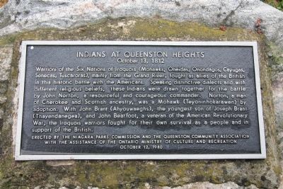
Indians at Queenston Heights
October 13, 1812
Photographed by Dale K. Benington, July 28, 2011
1. Indians at Queenston Heights Marker
Erected 1980 by Niagara Parkes Commission and the Queenston Community Association with the Assistance of the Ontario Ministry of Culture and Recreation.
Topics. This historical marker is listed in these topic lists: Colonial Era • Indigenous Peoples and Communities • War of 1812.
Location. 43° 9.735′ N, 79° 3.28′ W. Marker is in Niagara-on-the-Lake, Ontario, in Niagara
this page online

Regionally, this marker is on the Golden Horseshoe and in Niagara Canada. It is also in Central Canada. Globally, it is in North America, on the Great Lakes, in the Western Hemisphere, in the Western World, and in the Anglosphere. Historically, it finds itself in what was once a British colony, the Viceroyalty of New France, the Haudenosaunee (Iroquois) Confederacy, and Rupert’s Land.
Other nearby markers. At least 8 other markers are within walking distance of this marker: Brock's Cenotaph (a few steps from this marker); 'Alfred' (within shouting distance of this marker); Home of William Lyon Mackenzie (about 90 meters
Photographed by Dale K. Benington, July 28, 2011
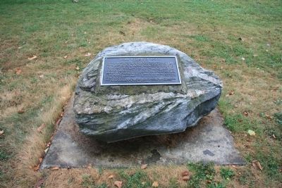
2. Indians at Queenston Heights Marker
View of the historical marker affixed to a moderately sized boulder.
Another marker is no longer nearby. The Counter-Offensive Takes Shape / La contre-offensive prend forme (was about 180 meters away but has been confirmed missing).
Photographed by Dale K. Benington, July 28, 2011
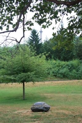
3. Indians at Queenston Heights Marker
View of the historical marker affixed to a moderately sized boulder, at the base of the Niagara Escarpment, with a distant view of the Brock Monument at the top of the Niagara Escarpment in the distant background.
Photographed by Dale K. Benington, July 28, 2011
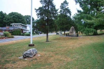
4. Indians at Queenston Heights Marker
View looking east of the historic marker, situated next to several other historical monuments, in a community park, at the southern edge of a Queenston residential neighborhood.
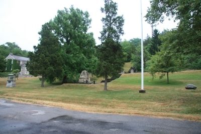
Photographed by Dale K. Benington, July 28, 2011
5. Indians at Queenston Heights Marker
View looking south of the historical marker on the right side of the picture, situated in a community park with several other monuments, at the base of the Niagara Escarpment.
Credits. This page was last revised on February 25, 2026. It was originally submitted on November 5, 2011, by Dale K. Benington of Toledo, Ohio. This page has been viewed 865 times since then and 31 times this year. Photos: 1, 2, 3, 4, 5. submitted on November 8, 2011, by Dale K. Benington of Toledo, Ohio.
