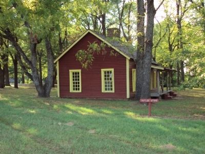
Near Fort Towson in Choctaw County, Oklahoma — The American South (West South Central)
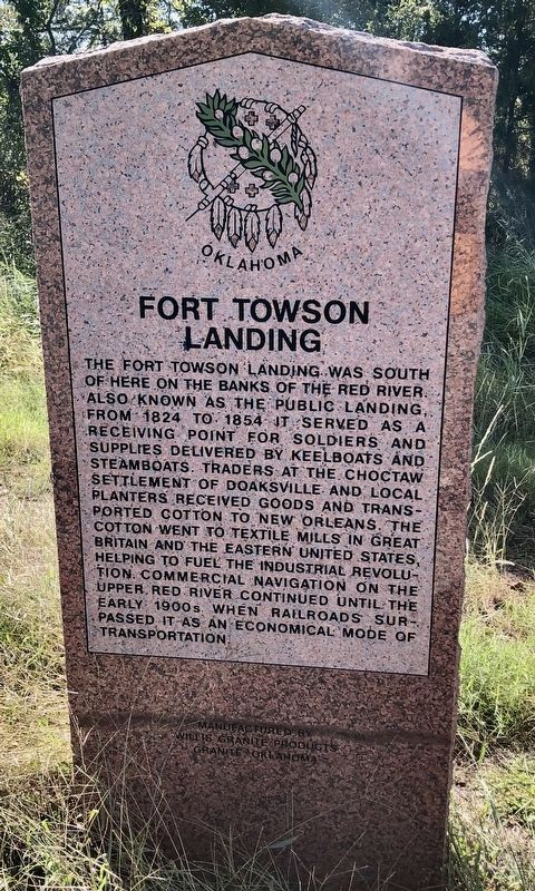
Fort Towson Landing
Erected by Oklahoma Historical Society.
Topics and series. This historical marker is listed in these topic lists: Agriculture • Native Americans • War, US Civil • Waterways & Vessels. In addition, it is included in the Oklahoma Historical Society series list. A significant historical year for this entry is 1824.
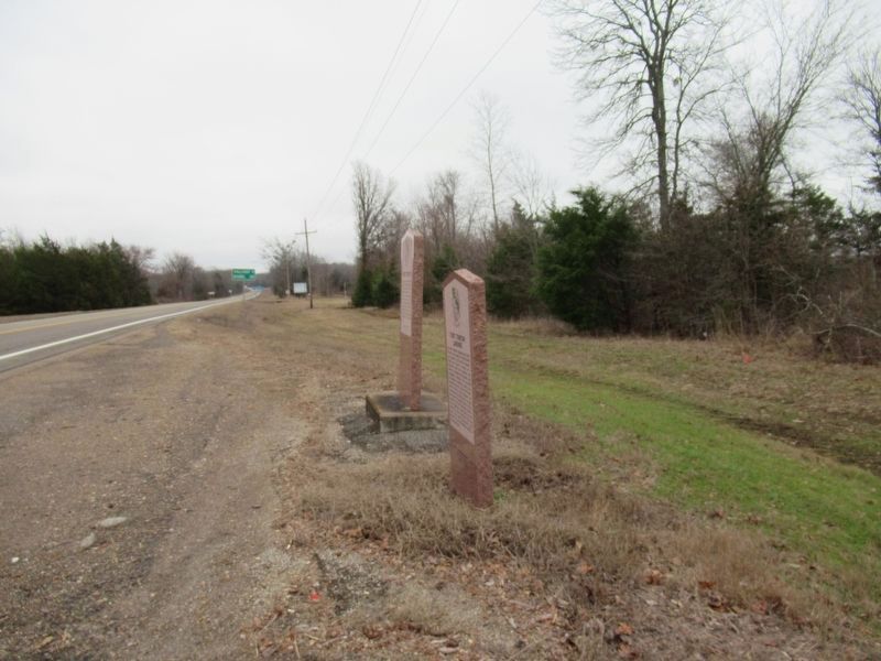
Location. 34° 1.062′ N, 95° 15.242′ W. Marker is near Fort Towson, Oklahoma, in Choctaw County. Marker is on U.S. 70 east of State Route 209, on the right when traveling east. Touch for map. Marker is in this post office area: Fort Towson OK 74735, United States of America. Touch for directions.
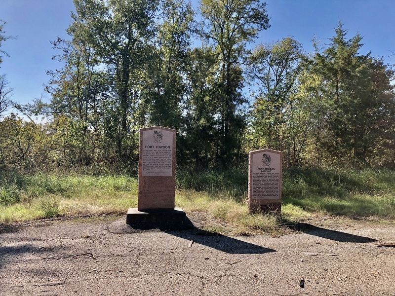
Other nearby markers. At least 8 other markers are within walking distance of this marker. Fort Towson (here, next to this marker); Native American Patriots Memorial (approx. 0.6 miles away); Dorothy Jane Orton (approx. 0.7 miles away); Transportation Crossroads (approx. 0.7 miles away); Sutler Store (approx. ¾ mile away); Hospital and Commissary (approx. ¾ mile away); Barracks (approx. ¾ mile away); Officers' Row (approx. 0.8 miles away). Touch for a list and map of all markers in Fort Towson.
More about this marker. Marker was moved from Fort Towson Historic Site (34° 1.665′ N, 95° 15.458′ W) on Fort Towson Historic Site Road (County Road E2060) one mile south to U.S. Highway 70.
Credits. This page was last revised on January 15, 2024. It was originally submitted on February 12, 2012, by Michael Manning of Woodlawn, Tennessee. This page has been viewed 871 times since then and 43 times this year. Photos: 1. submitted on April 1, 2020, by Mark Hilton of Montgomery, Alabama. 2. submitted on February 12, 2012, by Michael Manning of Woodlawn, Tennessee. 3. submitted on April 1, 2020, by Mark Hilton of Montgomery, Alabama. 4. submitted on January 14, 2024, by Jason Armstrong of Talihina, Oklahoma. 5. submitted on February 12, 2012, by Michael Manning of Woodlawn, Tennessee. • Craig Swain was the editor who published this page.
