Rome in Oneida County, New York — The American Northeast (Mid-Atlantic)
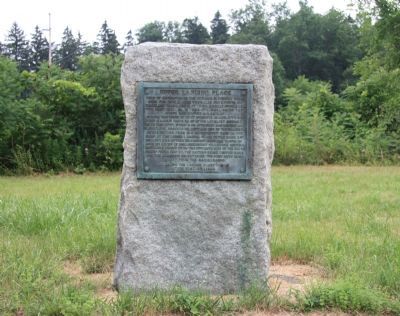
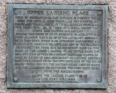
Upper Landing Place
During the siege of Fort Stanwix in Aug. 1777, Sir John Johnson had a camp of his Loyalist Regiment near this spot, which was attacked and looted Aug. 6, by Lt. Col. Marinus Willett and 250 of the garrison. On his return from his subsequent raid on the camp at the Lower Landing place on the same day, Willett was attacked a short distance north of here by a body of Brig. Gen. Barry St.Leger's British regulars, drawn up on the opposite side of the river. Sharp firing ensued, the British being driven back and the garrison re-entering the fort with much booty from the raided camps.
Guarding the landing place 1755-56 stood Fort Williams.
Erected 1928 by New York State Historical Marker.
Topics. This historical marker is listed in these topic lists: Colonial Era • Native Americans • War, US Revolutionary. A significant historical month for this entry is August 1777.
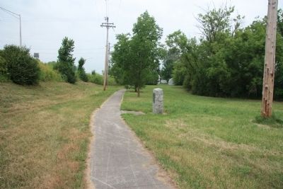
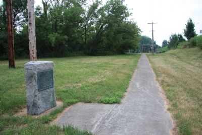
Location. 43° 12.178′ N, 75° 27.269′ W. Marker is in Rome, New York, in Oneida County. Marker can be reached from Canal Street east of Luquer Street . To see this historical marker one needs to travel south on Canal Street all the way to where the road ends at the junction of the Mohawk River with the Erie Canal. The historical marker is located to the north, along a walking path, midway between the end of Canal Street and the end of East Whitesboro Street. Touch for map. Marker is in this post office area: Rome NY 13440, United States of America. Touch for directions.
Other nearby markers. At least 8 other markers are within walking distance of this marker. Fort Craven (about 400 feet away, measured in a direct line); Fort Williams (approx. 0.2 miles away); Willett Bridge (approx. 0.4 miles away); Revolutionary Battlefields (approx. 0.4 miles away); Rome's Italian Heritage (approx. 0.4 miles away); Their voices heard... (approx. half a mile away); Fort Stanwix (approx. half a mile away); The Fort Community... (approx. half a mile away). Touch for a list and map of all markers in Rome.
Photographed By Dale K. Benington, July 29, 2011
6. Upper Landing Place
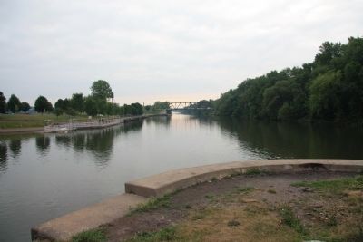
View of the junction of the Mohawk River with the Erie Canal, as seen from the foot of Canal Street. The Upper Landing Place would be to the left of the picture. The Lower Landing Place would be beyond the bridge to the right of the picture.
Credits. This page was last revised on June 16, 2016. It was originally submitted on April 5, 2012, by Dale K. Benington of Toledo, Ohio. This page has been viewed 686 times since then and 32 times this year. Photos: 1, 2, 3, 4, 5, 6. submitted on April 6, 2012, by Dale K. Benington of Toledo, Ohio.
