
Louisa in Louisa County, Virginia — The American South (Mid-Atlantic)
Hugh Hammond Bennett (1881-1960)
Photographed by Bernard Fisher, April 6, 2012
1. Hugh Hammond Bennett (1881-1960) Marker
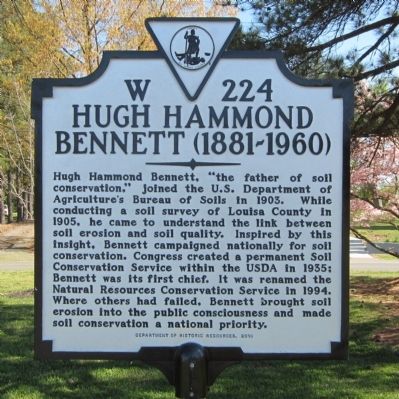
Hugh Hammond Bennett, “the father of soil conservation,” joined the U.S. Department of Agriculture’s Bureau of Soils in 1903. While conducting a soil survey of Louisa County in 1905, he came to understand the link between soil erosion and soil quality. Inspired by this insight, Bennett campaigned nationally for soil conservation. Congress created a permanent Soil Conservation Service within the USDA in 1935; Bennett was its first chief. It was renamed the Natural Resources Conservation Service in 1994. Where others had failed, Bennett brought soil erosion into the public consciousness and made soil conservation a national priority.
Erected 2010 by Department of Historic Resources. (Marker Number W-224.)
Topics and series. This historical marker is listed in these topic lists: Agriculture • Environment • Science & Medicine. In addition, it is included in the Virginia Department of Historic Resources (DHR) series list. A significant historical year for this entry is 1903.
Location. 38° 1.493′ N, 77° 59.84′ W. Marker is in Louisa, Virginia, in Louisa County. It can be reached from the intersection of Fredericksburg
this page online

Regionally, this marker is in the Piedmont and in Central Virginia. It is also in the American South and specifically in the Upper South. Globally, it is in the North Atlantic Region, North America, the Western Hemisphere, the Western World, and the Anglosphere. Historically, it finds itself in what was once the territory of the Mississippian Culture, one of the original Thirteen Colonies, one of the Confederate States of America, and the Antebellum South.
Other nearby markers. At least 8 other markers are within walking distance of this marker: Louisa Rail Road track--1837 (within shouting distance of this marker); Trevilians Schoolhouse (within shouting distance of this marker); Michie House (within shouting distance of this marker); Historic Louisa (approx. ¼ mile away); John Mercer Langston Birthplace
Photographed by Bernard Fisher, April 6, 2012
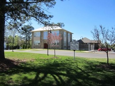
2. Louisa Arts Center
Also see . . .
1. Hugh Hammond Bennett. Wikipedia (Submitted on April 8, 2012.)
2. Hugh Hammond Bennett and the Creation of the Soil Erosion Service (pdf file). by Douglas Helms, National Historian, Natural Resources Conservation Service, USDA (Submitted on April 8, 2012.)
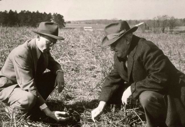
3. Hugh Hammond Bennett (right), first Chief of the Soil Conservation Service
Credits. This page was last revised on December 13, 2022. It was originally submitted on April 8, 2012, by Bernard Fisher of Richmond, Virginia. This page has been viewed 1,814 times since then and 43 times this year. Photos: 1, 2, 3. submitted on April 8, 2012, by Bernard Fisher of Richmond, Virginia.
