Greenbrier West in Chesapeake, Virginia — The American South (Mid-Atlantic)
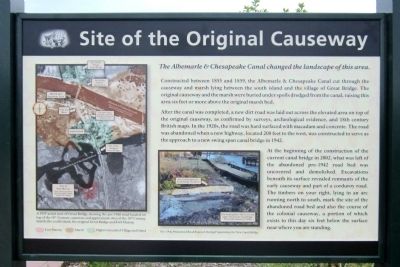
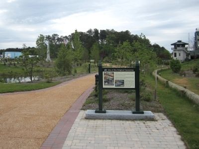
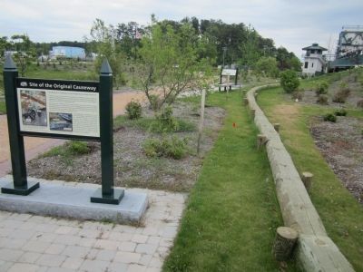
Site of the Original Causeway
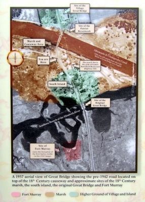
Constructed between 1855 and 1859, the Albemarle & Chesapeake Canal cut through the causeway and marsh lying between the south island and the village of Great Bridge. The original causeway and the marsh were buried under spoils dredged from the canal, raising this area six feet or more above the original marsh bed.
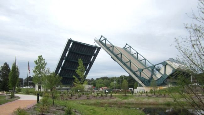
After the canal was completed, a new dirt road was laid out across the elevated area on top of the original causeway, as confirmed by surveys, archeological evidence, and 18th century British maps. In the 1920s, the road was hard surfaced with macadam and concrete. The road was abandoned when a new highway, located 200 feet to the west, was constructed to serve as the approach to a new swing span canal bridge in 1942.
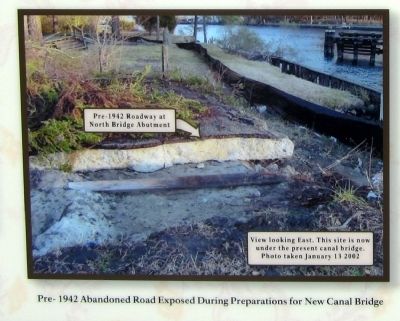
At the beginning of the construction of the current canal bridge in 2002, what was left of the abandoned pre-1942 road bed was uncovered and demolished. Excavations beneath its surface revealed remnants of the early causeway and part of a corduroy road. The timbers on your right, lying in an arc running north to south, mark the site of the abandoned road bed and also the course of the colonial causeway, a portion of which exists to this day six feet below the surface near where you are standing.
Erected 2012 by Great Bridge Battlefield & Waterways History Foundation.
Topics. This historical marker is listed in these topic lists: Bridges & Viaducts • Roads & Vehicles • Waterways & Vessels. A significant historical year for this entry is 1855.
Location. 36° 43.312′ N, 76° 14.389′ W. Marker is in Chesapeake, Virginia. It is in Greenbrier West. Marker can be reached from the intersection of North Battlefield Boulevard (Business Virginia Route 168) and Watson Road, on the left when traveling south. Touch for map. Marker is in this post office area: Chesapeake VA 23320, United States of America. Touch for directions.
Other nearby markers. At least 8 other markers are within walking distance of this marker. Causeway Construction (a few steps from this marker); The Day is Our Own! (a few steps from this marker); First Fire (a few steps from this marker); Causeways (within shouting distance of this marker); Liberty to Slaves (within shouting distance of this marker); At Dawn On December 9, 1775 (within shouting distance of this marker); Fort Murray (within shouting distance of this marker); Father & Son Canal Builders (within shouting distance of this marker). Touch for a list and map of all markers in Chesapeake.
Also see . . . Great Bridge Battlefield & Waterways History Foundation. (Submitted on April 29, 2012, by Bernard Fisher of Richmond, Virginia.)
Credits. This page was last revised on February 1, 2023. It was originally submitted on April 29, 2012, by Bernard Fisher of Richmond, Virginia. This page has been viewed 843 times since then and 17 times this year. Photos: 1, 2, 3, 4, 5, 6. submitted on April 29, 2012, by Bernard Fisher of Richmond, Virginia.
