Near Queenston in Niagara Region, Ontario — Central Canada (North America)
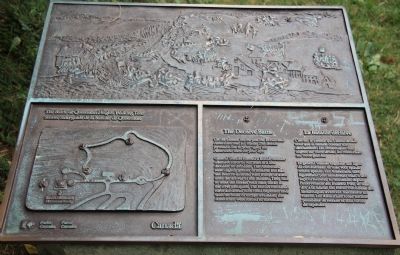
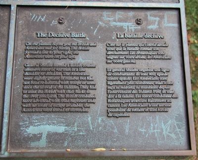
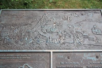
The Decisive Battle
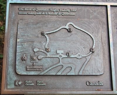
The Battle of Queenston Heights Walking Tour
— Stop 5 of the 5-stop walking tour —
Erected by Parks Canada. (Marker Number 5.)
Topics. This historical marker is listed in these topic lists: Colonial Era • Native Americans • War of 1812.
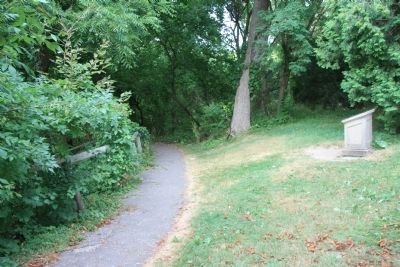
Location. 43° 9.618′ N, 79° 3.149′ W. Marker is near Queenston, Ontario, in Niagara Region. Marker can be reached from Niagara Parkway just north of Portage Road. This historical marker is situated on the Canadian side of the Niagara River in a community/historic park area and is located along a walking trail near the crest of the Niagara Escarpment, very near the Brock Memorial Monument. Touch for map. Marker is at or near this postal address: 14184 Niagara Parkway, Queenston ON L0S 1L0, Canada. Touch for directions.
Other nearby markers. At least 8 other markers are within walking distance of this marker. The "Colored Corps" 1812 - 1815 (a few steps from this marker); Sir Isaac Brock (within shouting distance of this marker); Brock's Monument (within shouting distance of this marker); Sir Roger Hale Sheaffe (within shouting distance of this marker); a different marker also named Brock's Monument (within shouting distance of this marker); The Battle of Queenston Heights (within shouting distance of this marker); a different marker also named The Battle of Queenston Heights (within shouting distance of this marker); Attack (about 120 meters away, measured in a direct line). Touch for a list and map of all markers in Queenston.
More about this marker. This historical marker is located in the Queenston Heights National Historic Site of Canada and is stop #5 on, The Battle of Queenston Heights Walking Tour. According to the Niagara Parks web site, this historical marker is located "on the heights near Brock's monument."
Related markers. Click here for a list of markers that are related to this marker. To better understand the relationship, study each marker in the order shown.
Photographed By Dale K. Benington, July 27, 2011
6. The Decisive Battle Marker
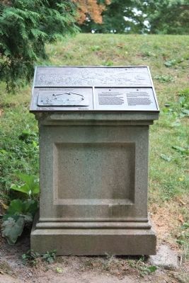
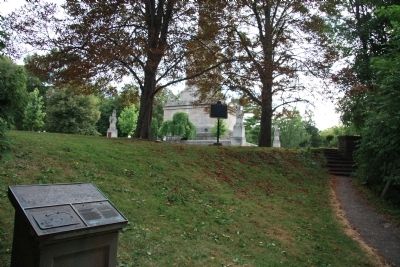
View of the historical marker looking southwest along the Battle of Queenston Heights walking tour pathway, with the crest of the Niagara Escarpment in the background, and in the distant background just beyond the two trees is the Brock Memorial Monument.
Credits. This page was last revised on September 27, 2019. It was originally submitted on January 16, 2012, by Dale K. Benington of Toledo, Ohio. This page has been viewed 827 times since then and 7 times this year. Last updated on May 3, 2012, by David Graff of Halifax, Nova Scotia. Photos: 1, 2, 3, 4, 5, 6, 7. submitted on January 16, 2012, by Dale K. Benington of Toledo, Ohio. • Bill Pfingsten was the editor who published this page.
