Near Scottsville in Monroe County, New York — The American Northeast (Mid-Atlantic)
Genesee Valley
Historic New York
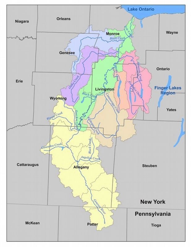
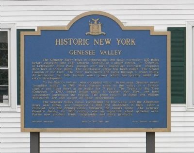
The Genesee River rises in Pennsylvania and flows northward 150 miles before emptying into Lake Ontario. Starting as a placid stream, the Genesee, in Letchworth State Park, plunges over three impressive cataracts, dropping 300 feet in three miles. The spectacular gorge has been called “The Grand Canyon of the East.” The river then twists and turns through a broad valley. At Rochester the falls furnish water power which has greatly aided the city's development.
To the Seneca Indians, who occupied villages in the area, Genesee meant “beautiful valley.” In 1762, Mary Jemison came to the valley as a Seneca captive and lived there as an Indian for 71 years. The Treaty of Big Tree (Geneseo), in 1797, ended Indian claims to western New York, and land speculators purchased the region. The great estates of James and William Wadsworth are still owned by their descendents.
The Genesee Valley Canal, connecting the Erie Canal with the Allegheny River near Olean, was completed in 1857 and abandoned in 1878. Later, a railroad, now the Pennsylvania, followed the canal's route. The Genesee Country during the 19th century was an important wheat growing area. Farms now produce fruits, vegetables and dairy products.
Erected 1963 by New York State Education Department & Thruway Authority.
Topics and series. This historical marker is listed in these topic lists: Agriculture • Native Americans • Settlements & Settlers • Waterways & Vessels. In addition, it is included in the Erie Canal, and the Historic New York State series lists. A significant historical year for this entry is 1762.
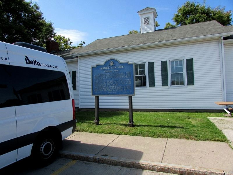
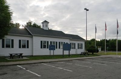
Location. 43° 2.458′ N, 77° 42.967′ W. Marker is near Scottsville, New York, in Monroe County. Marker can be reached from Governor Thomas E. Dewey Thruway (Interstate 90 at milepost 366), 12.6 miles Interstate 490, on the right when traveling east. The marker is located at Scottsville Travel Plaza on the east side of seasonal tourism information center. The eastbound travel plaza is accessible from exit 47 (Leroy). Touch for map. Marker is in this post office area: Scottsville NY 14546, United States of America. Touch for directions.
Other nearby markers. At least 8 other markers are within 3 miles of this marker, measured as the crow flies. Chili Cobblestone School Museum (approx. 0.8 miles away); Joseph Morgan (approx. one mile away); First House (approx. 1.4 miles away); Canal Street (approx. 2.2 miles away); Genesee Valley Greenway (approx. 2.2 miles away); Feeder Gates (approx. 2.2 miles away); a different marker also named Genesee Valley Greenway (approx. 2.2 miles away); Mill Site Area of Historic Scottsville (approx. 2.3 miles away). Touch for a list and map of all markers in Scottsville.
Related marker. Click here for another marker that is related to this marker. To better understand the relationship, study the marker shown.
Also see . . . The Genesee Region. Geography of New York State website entry (Submitted on July 2, 2012, by PaulwC3 of Northern, Virginia.)

via Genesee River Watch, unknown
4. Genesee River Basin Watershed
Genessee River Watch website entry
Click for more information.
Click for more information.
Credits. This page was last revised on January 1, 2022. It was originally submitted on July 2, 2012, by PaulwC3 of Northern, Virginia. This page has been viewed 681 times since then and 21 times this year. Photos: 1. submitted on July 2, 2012, by PaulwC3 of Northern, Virginia. 2. submitted on September 23, 2019, by Bill Coughlin of Woodland Park, New Jersey. 3. submitted on July 2, 2012, by PaulwC3 of Northern, Virginia. 4. submitted on January 1, 2022, by Larry Gertner of New York, New York.


