Near Loving in Eddy County, New Mexico — The American Mountains (Southwest)
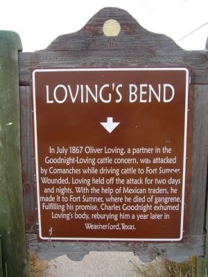
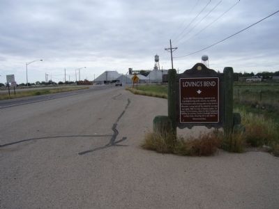
Loving's Bend
Topics. This historical marker is listed in these topic lists: Agriculture • Animals • Native Americans • Settlements & Settlers. A significant historical month for this entry is July 1867.
Location. 32° 17.639′ N, 104° 6.143′ W. Marker is near Loving, New Mexico, in Eddy County. Marker is at the intersection of U.S. 285 and County Road 712, on the right when traveling south on U.S. 285. Touch for map. Marker is in this post office area: Loving NM 88256, United States of America. Touch for directions.
Other nearby markers. At least 4 other markers are within 14 miles of this marker, measured as the crow flies. Goodnight-Loving Trail (approx. 1.7 miles away); Espejo's Trail (approx. 4.7 miles away); Civilian Conservation Corps Carlsbad Campsite (approx. 13.7 miles away); Carlsbad Irrigation Flume (approx. 13.8 miles away).
Related markers. Click here for a list of markers that are related to this marker.

Photographed By Bill Kirchner, October 26, 2012
2. Back of Loving's Bend Marker
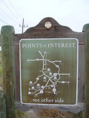
Points of Interest
New Mexico's Historic Markers typically have a map on the back side showing the location of other OSHM's. This is an excellent source of information when exploring for other Historical Markers and locations.
New Mexico's Historic Markers typically have a map on the back side showing the location of other OSHM's. This is an excellent source of information when exploring for other Historical Markers and locations.
Credits. This page was last revised on November 25, 2019. It was originally submitted on November 28, 2012, by Bill Kirchner of Tucson, Arizona. This page has been viewed 1,482 times since then and 99 times this year. Photos: 1, 2, 3. submitted on November 28, 2012, by Bill Kirchner of Tucson, Arizona. • Syd Whittle was the editor who published this page.

