Hopewell, Virginia — The American South (Mid-Atlantic)
A Supply Hub
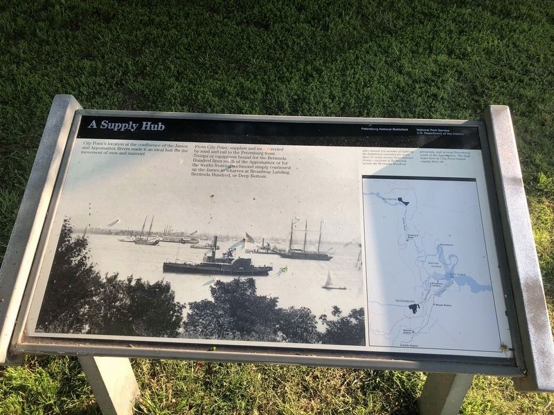
City Point’s location at the confluence of the James and Appomattox Rivers made it an ideal hub for the movement of men and material.
From City Point, supplies and men traveled by road and rail to the Petersburg front. Troops or equipment bound for Bermuda Hundred lines north of the Appomattox or for the works fronting Richmond simply continued up the James to wharves at Broadway Landing, Bermuda Hundred or Deep Bottom.
Erected by National Park Service, U.S. Department of the Interior.
Topics. This historical marker is listed in these topic lists: Railroads & Streetcars • Roads & Vehicles • War, US Civil • Waterways & Vessels.
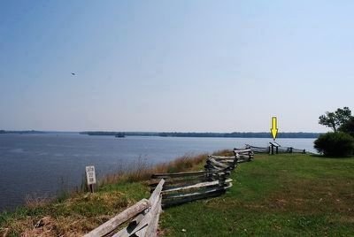
Location. 37° 18.957′ N, 77° 16.657′ W. Marker is in Hopewell, Virginia. Marker can be reached from the intersection of Pecan Avenue and Cedar Lane, on the right when traveling east. Touch for map. Marker is at or near this postal address: 1001 Pecan Ave, Hopewell VA 23860, United States of America. Touch for directions.
Other nearby markers. At least 8 other markers are within walking distance of this marker. The Depot Field Hospital (a few steps from this marker); General Grant's Headquarters at City Point (within shouting distance of this marker); General Grant's Headquarters (within shouting distance of this marker); Appomattox Manor (about 300 feet away, measured in a direct line); City Point (about 300 feet away); City Point, Virginia (about 300 feet away); The Peacemaker (about 400 feet away); Porter House (about 500 feet away). Touch for a list and map of all markers in Hopewell.
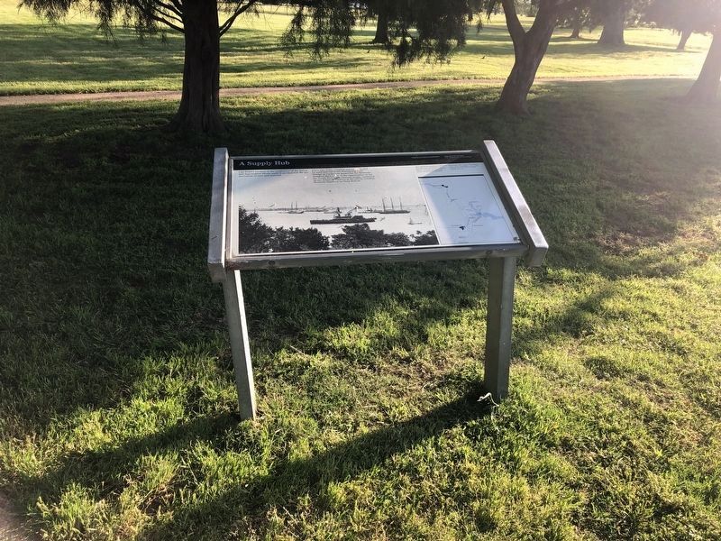
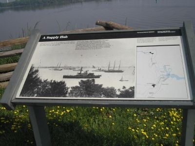
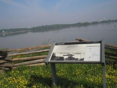
More about this marker. The marker is dominated by a photograph of water traffic off City Point. The right of the marker features a map of the Richmond, Petersburg and City Point areas. It contains the caption After almost ten months of fighting, the battlelines extended for more than 37 miles across three distinct fronts – in front of Richmond, across the Bermuda Hundred peninsula, and around Petersburg, south of the Appomattox. The huge depot here at City Point helped supply them all.
Also see . . . City Point. National Park Service. (Submitted on March 24, 2008, by Bill Coughlin of Woodland Park, New Jersey.)
Credits. This page was last revised on October 14, 2022. It was originally submitted on March 24, 2008, by Bill Coughlin of Woodland Park, New Jersey. This page has been viewed 1,349 times since then and 37 times this year. Photos: 1, 2. submitted on May 9, 2020, by Devry Becker Jones of Washington, District of Columbia. 3, 4, 5. submitted on March 24, 2008, by Bill Coughlin of Woodland Park, New Jersey. 6. submitted on August 12, 2015, by Brandon Fletcher of Chattanooga, Tennessee. 7. submitted on March 24, 2008, by Bill Coughlin of Woodland Park, New Jersey. • Craig Swain was the editor who published this page.
