Near Manassas in Prince William County, Virginia — The American South (Mid-Atlantic)
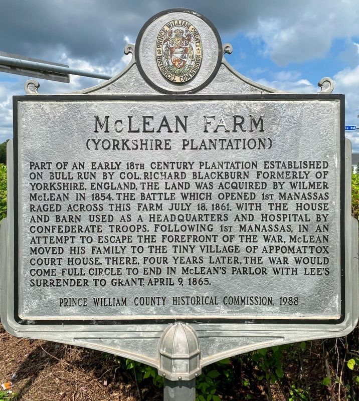
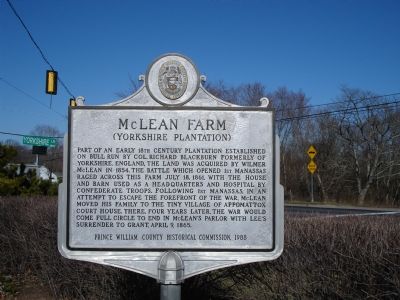
McLean Farm
(Yorkshire Plantation)
Erected 1988 by Prince William County Historical Commission. (Marker Number 48.)
Topics and series. This historical marker is listed in these topic lists: Agriculture • War, US Civil. In addition, it is included in the Virginia, Prince William County Historical Commission series list. A significant historical date for this entry is April 9, 1778.
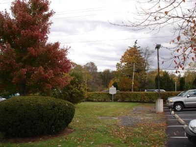
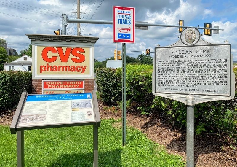
Location. 38° 47.59′ N, 77° 26.863′ W. Marker is near Manassas, Virginia, in Prince William County. Marker is on Centreville Road (Virginia Route 28), on the right when traveling south. Marker is at intersection of Centreville Road and Yorkshire Lane. Located beside parking lot of CVS/pharmacy. Touch for map. Marker is at or near this postal address: 7520 Centreville Road, Manassas VA 20111, United States of America. Touch for directions.
Other nearby markers. At least 5 other markers are within walking distance of this marker. Wilmer McLean’s Yorkshire (a few steps from this marker); Wilmer McLean after the Civil War (about 300 feet away, measured in a direct line); Mitchell's Ford (approx. 0.6 miles away); Blackburn's Ford (approx. 0.7 miles away); a different marker also named Blackburn’s Ford (approx. 0.7 miles away). Touch for a list and map of all markers in Manassas.
Also see . . . Wilmer McLean. (Submitted on October 30, 2006.)
Credits. This page was last revised on May 28, 2021. It was originally submitted on October 29, 2006. This page has been viewed 5,823 times since then and 148 times this year. Photos: 1. submitted on May 18, 2021, by Shane Oliver of Richmond, Virginia. 2, 3. submitted on October 29, 2006. 4. submitted on May 18, 2021, by Shane Oliver of Richmond, Virginia. • J. J. Prats was the editor who published this page.


