
Near Richmond in Madison County, Kentucky — The American South (East South Central)
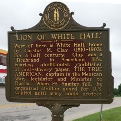
"Lion of White Hall"
Photographed by Don Morfe, July 21, 2013
1. "Lion of White Hall" Marker
Erected 1962 by Kentucky Historical Society-Kentucky Department of Highways. (Marker Number 533.)
Topics and series. This memorial is listed in these topic lists: Abolition & Underground RR • Civil Rights • War, US Civil. In addition, it is included in the Kentucky Historical Society series list.
Location. This memorial has been replaced by another memorial nearby. It was located near 37° 50.583′ N, 84° 19.783′ W. Memorial was near Richmond, Kentucky, in Madison County. It was at the intersection of Lexington Road (US 25 / US 421) and Boonesborough Road, on the right when traveling south on Lexington Road (US 25 / US 421). Touch for map. Memorial was in this post office area: Richmond KY 40475, United
this page online

Regionally, this memorial was in the American South, specifically in the Upper South, in Appalachia, and specifically in Southern Appalachia. Globally, it was in North America, the Western Hemisphere, the Western World, and the Anglosphere. Historically, it found itself in what was once the territory of the Mississippian Culture and also the Antebellum South.
Other nearby markers. At least 8 other markers are within 2 miles of this location, measured as the crow flies: A different marker also named “Lion of White Hall” (about 700 feet away, measured in a direct line); Laura Clay (1849-1941) (approx. 1.4 miles away); Mary Barr Clay (approx. 1.4 miles away); White Hall State Historic Site (approx. 1.4 miles away); Abraham Lincoln & Cassius Marcellus Clay (approx. 1.4 miles away); Kentucky & the Emancipation Proclamation (approx. 1.4 miles away); White Hall (approx. 1.4 miles away); Richmond Garden Club (approx. 1.4 miles away). Touch for a list and map of all markers in Richmond.
Photographed by Don Morfe, July 21, 2013
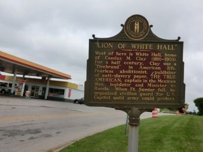
2. "Lion of White Hall" Marker
Photographed by Lee Hattabaugh, July 24, 2012
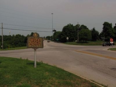
3. "Lion of White Hall" Marker
looking east across the intersection of Lexington Rd (US 25/421) (left to right) and Boonesborough Rd (KY 627) / White Hall Shrine Rd (KY 3055). Overpass of I-75 in far background.
Photographed by Lee Hattabaugh, July 24, 2012
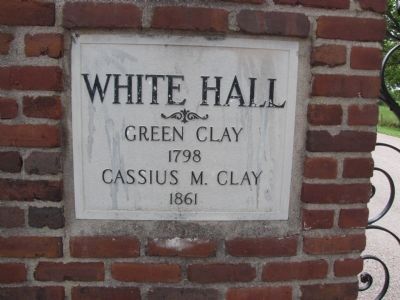
4. White Hall entrance plaque
plaque located at the entrance gates to White Hall, approximately 1.5 miles west of the marker.
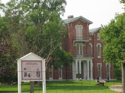
Photographed by Lee Hattabaugh, July 24, 2012
5. White Hall
Credits. This page was last revised on July 25, 2022. It was originally submitted on August 17, 2013, by Don Morfe of Baltimore, Maryland. This page has been viewed 1,159 times since then and 27 times this year. Photos: 1, 2. submitted on August 17, 2013, by Don Morfe of Baltimore, Maryland. 3, 4, 5. submitted on March 27, 2014, by Lee Hattabaugh of Capshaw, Alabama. • Al Wolf was the editor who published this page.
