Natchitoches in Natchitoches Parish, Louisiana — The American South (West South Central)
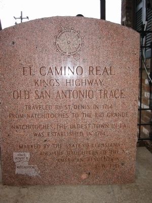
El Camino Real
King's Highway
| — | Old San Antonio Trace | — |
Photographed by Richard Denney, November 29, 2002
1. El Camino Real Marker
from Natchitoches to the Rio Grande
Natchitoches, the oldest town in La.,
was established in 1714
Erected 1951 by State of Louisiana and the Daughters of the American Revolution.
Topics and series. This historical marker is listed in these topic lists: Hispanic Americans • Indigenous Peoples and Communities • Roads & Vehicles • Settlements & Settlers. In addition, it is included in the Daughters of the American Revolution (DAR), and the El Camino Real de los Tejas National Historic Trail series lists. A significant historical year for this entry is 1714.
Location. 31° 45.798′ N, 93° 5.144′ W. Marker is in Natchitoches, Louisiana, in Natchitoches Parish. It is at the intersection of Washington Street (State Highway 6) and Lafayette Street, on the right when traveling north on Washington Street. Touch for map. Marker is at or near this postal address: 798 Washington St, Natchitoches LA 71457, United States of America. Touch for directions.

Regionally, this marker is in Central Louisiana. It is also in the American South, specifically in the Deep South, and in the
this page online
Other nearby markers. At least 8 other markers are within walking distance of this marker: Louis Juchereau de St. Denis (a few steps from this marker); Natchitoches Historic District (a few steps from this marker); Natchitoches Indians (within shouting distance of this marker); Roque House (within shouting distance of this marker); a different marker also named Roque House (within shouting distance of this marker); Natchitoches National Historic Landmark District (within shouting distance of this marker); The Historic Cane River (within shouting distance of this marker); Ducournau Building (about 400 feet away, measured in a direct line). Touch for a list and map of all markers in Natchitoches.
Also see . . . El Camino Real de los Tejas National Historic Trail.
Photographed by Tom Bosse, July 3, 2017
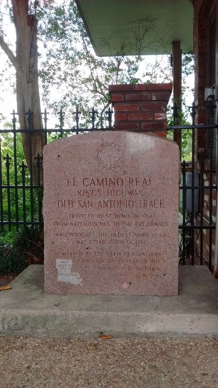
2. El Camino Real Marker
Photographed by Tom Bosse, July 3, 2017
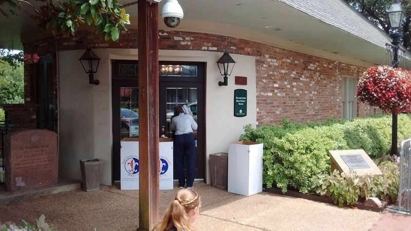
3. El Camino Real Marker
Photographed by Tom Bosse
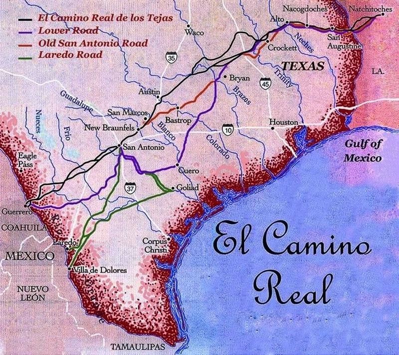
4. El Camino Real de los Tejas
Credits. This page was last revised on June 29, 2022. It was originally submitted on October 11, 2013, by Richard Denney of Austin, Texas. This page has been viewed 1,145 times since then and 54 times this year. Photos: 1. submitted on October 11, 2013, by Richard Denney of Austin, Texas. 2, 3, 4. submitted on July 20, 2017, by Tom Bosse of Jefferson City, Tennessee. • Bernard Fisher was the editor who published this page.
