Near Belview in Redwood County, Minnesota — The American Midwest (Upper Plains)
Boiling Spring
Photographed by K. Linzmeier, September 25, 2013
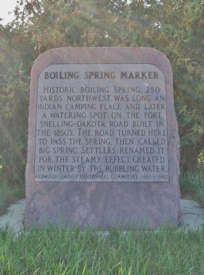
1. Boiling Spring Marker
Erected by Redwood County Centennial Committee.
Topics. This historical marker is listed in these topic lists: Indigenous Peoples and Communities • Roads & Vehicles • Settlements & Settlers • Waterways & Vessels. A significant historical year for this entry is 1867.
Location. 44° 39.228′ N, 95° 20.433′ W. Marker is near Belview, Minnesota, in Redwood County. It is on County Road 7 0.7 miles north of 410th Street, on the left when traveling north. Touch for map. Marker is at or near this postal address: 41690 County Road 7, Belview MN 56214, United States of America. Touch for directions.

Regionally, this marker is in Southwest Minnesota and specifically in the Minnesota River Valley. It is also in the American Midwest, in the Corn Belt,
this page online
Other nearby markers. At least 8 other markers are within 6 miles of this marker, measured as the crow flies: A New Life with Family and Friends (approx. 2.6 miles away); A Family's Proud Heritage (approx. 2.9 miles away); The Kittelsland Water Wheel (approx. 2.9 miles away); The Enestvedt Marker (approx. 2.9 miles away); The Joseph R. Brown House (approx. 3.1 miles away); Farther and Gay Castle (approx. 3.1 miles away); Taoyateduta Leads His People in War (approx. 5½ miles away); The U.S.–Dakota War of 1862 (approx. 5½ miles away).
Additional keywords. Boiling Spring Creek
Photographed by K. Linzmeier, September 25, 2013
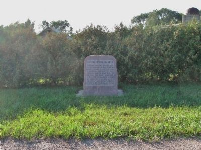
2. Boiling Spring Marker
Photographed by K. Linzmeier, September 25, 2013
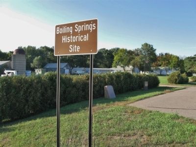
3. Boiling Springs Historical Site
Photographed by K. Linzmeier, September 25, 2013
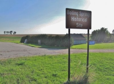
4. Boiling Springs Historical Site
Photographed by K. Linzmeier, September 25, 2013
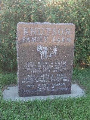
5. Nearby Knutson Family Farm Marker
Credits. This page was last revised on June 16, 2016. It was originally submitted on October 22, 2013, by Keith L of Wisconsin Rapids, Wisconsin. This page has been viewed 1,884 times since then and 71 times this year. Photos: 1, 2, 3, 4, 5. submitted on October 22, 2013, by Keith L of Wisconsin Rapids, Wisconsin.
