Near Montgomery in Montgomery County, Alabama — The American South (East South Central)
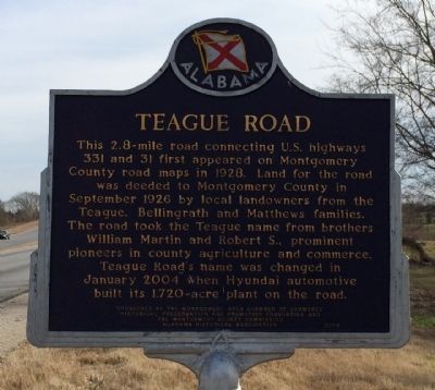
Teague Road
Erected 2004 by Montgomery Area Chamber of Commerce Historical Preservation and Promotion Foundation and the Montgomery County Commission & the Alabama Historical Association.
Topics and series. This historical marker is listed in these topic lists: Agriculture • Industry & Commerce • Roads & Vehicles. In addition, it is included in the Alabama Historical Association series list. A significant historical month for this entry is January 2004.
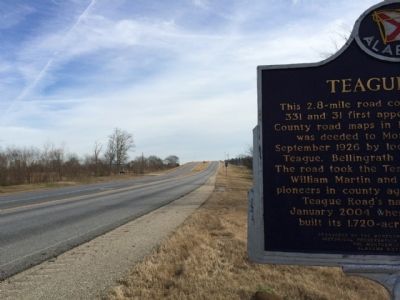
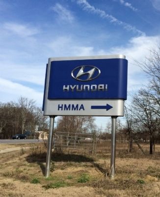
Location. 32° 16.644′ N, 86° 21.147′ W. Marker is near Montgomery, Alabama, in Montgomery County. Marker is at the intersection of Hyundai Boulevard (County Route 42) and Mobile Highway (U.S. 31), on the right when traveling east on Hyundai Boulevard. Touch for map. Marker is at or near this postal address: 2755 County Road 42, Montgomery AL 36105, United States of America. Touch for directions.
Other nearby markers. At least 8 other markers are within 6 miles of this marker, measured as the crow flies. Abner McGehee / Early Alabama Entrepreneur (approx. 1.9 miles away); a different marker also named Teague Road (approx. 2.6 miles away); Inez J. Baskin (approx. 4.1 miles away); The Smiths: A Civil Rights Family (approx. 4.1 miles away); Rev. Richard C. Boone (approx. 4.2 miles away); Beulah Baptist Church (approx. 4.7 miles away); Rosa Parks Returns to St. Paul AME / Rosa Parks's Faith Guided Her Life (approx. 5.1 miles away); St. Paul A.M.E. Church (approx. 5.1 miles away). Touch for a list and map of all markers in Montgomery.
Credits. This page was last revised on October 30, 2016. It was originally submitted on December 27, 2013, by Mark Hilton of Montgomery, Alabama. This page has been viewed 853 times since then and 82 times this year. Photos: 1, 2, 3. submitted on December 27, 2013, by Mark Hilton of Montgomery, Alabama. • Bernard Fisher was the editor who published this page.


