Near Blanca in Alamosa County, Colorado — The American Mountains (Southwest)
Welcome "Caminante" to ...
Los Caminos Antiguos Scenic & Historic Byway
Photographed by William Fischer, Jr., October 15, 2020
1. Welcome "Caminante" to ... Marker
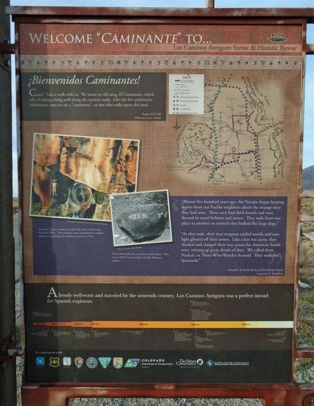
Come! Take a walk with us. We know an old song, El Caminante, which tells of taking a long walk along the ancient roads. Like the first prehistoric inhabitants, you too are a ‘caminante’, or one who walks upon this land.”
People of El Valle
Olibama Lopez Tushar
“Almost five hundred years ago, the Navajos began hearing stories from our Pueblo neighbors about the strange men they had seen. These men had thick beards and were dressed in metal helmets and armor. They rode from one place to another on animals that looked like large dogs.”
“As they rode, their iron weapons rattled noisily and sunlight glinted off their armor. Like a lost war party, they clanked and clanged their way across the American Southwest, stirring up great clouds of dust. We called them Naakaii, or Those-Who-Wander-Around. They were the Spaniards.”
Dinetah: An Early History of the Navajo People
Lawrence D. Sundberg
Already well worn and traveled by the sixteenth century, Los Caminos Antiguos was a perfect inroad for Spanish explorers.
[Lower left photo captions read]
• Nomadic Native American people left their
this page online
• This is believed to be an ancient trail marker. “Año (year) 1858" was carved by the first Hispano settlers.
[Timeline at bottom of marker not transcribed]
Erected by CO Scenic Byways, CO Historical Society, CO Parks & Wildlife, CO DOT, The Nature Conservancy, and DOI Agencies.
Topics and series. This historical marker is listed in these topic lists: Colonial Era • Exploration • Hispanic Americans • Indigenous Peoples and Communities. In addition, it is included in the Old Spanish National Trail series list. A significant historical year for this entry is 1598.
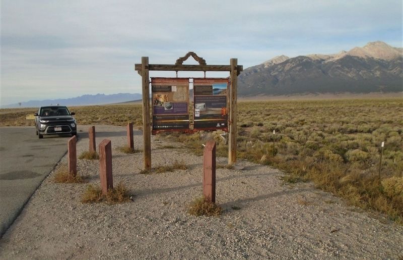
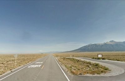
Location. 37° 28.654′ N, 105° 36.124′ W. Marker is near Blanca, Colorado, in Alamosa County. It is on State Highway 150 0.2 miles north of U.S. 160, on the right when traveling north. Marker is at a roadside pullout. Touch for map. Marker is in this post office area: Alamosa CO 81101, United States of America. Touch for directions.

Regionally, this marker is in the San Juan Mountains and in the San Luis Valley. It is also in the American
Photographed by Duane Hall, October 9, 2010
2. Welcome "Caminante" to ... Marker
Other nearby markers. At least 8 other markers are within 10 miles of this marker, measured as the crow flies: On Sacred Ground (here, next to this marker); "The Magic Dog" (here, next to this marker); Los Caminos Antiguos (here, next to this marker); Lt. Zebulon Pike's Southwestern Expedition (within shouting distance of this marker); The San Luis Southern Railway (approx. 5½ miles away); Southern San Luis Valley RR D500 (approx. 5½ miles away); Trails Through Time (approx. 5.7 miles away); a different marker also named Fort Garland (approx. 10.1 miles away). Touch for a list and map of all markers in Blanca.
Another marker is no longer nearby. Fort Garland (was approx. 10.1 miles away but has been permanently removed).
Photographed by William Fischer, Jr., October 15, 2020
3. Welcome "Caminante" to ... Marker
Google Street View (©2014 Google), October 9, 2010
4. Welcome "Caminante" to ... Marker
View to north along State Route 150
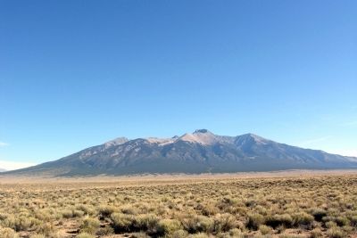
Photographed by Duane Hall, October 9, 2010
5. Blanca Peak
Credits. This page was last revised on July 26, 2022. It was originally submitted on February 19, 2014, by Duane Hall of Abilene, Texas. This page has been viewed 1,476 times since then and 80 times this year. Photos: 1. submitted on November 23, 2020, by William Fischer, Jr. of Reynoldsburg, Ohio. 2. submitted on February 19, 2014, by Duane Hall of Abilene, Texas. 3. submitted on November 23, 2020, by William Fischer, Jr. of Reynoldsburg, Ohio. 4, 5. submitted on February 19, 2014, by Duane Hall of Abilene, Texas.
