Menard in Menard County, Texas — The American South (West South Central)
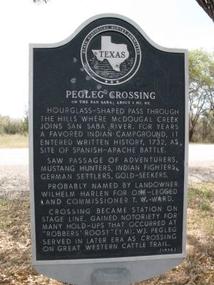
Pegleg Crossing on the San Saba
Saw passage of adventurers, mustang hunters, Indian fighters, German settlers, gold-seekers.
Probably named by landowner Wilhelm Harlen for one-legged land commissioner T.W. Ward.
Crossing became station on stage line. Gained notoriety for many hold-ups that occurred at "Robbers' Roost" (1 mile west). Pegleg served in later era as crossing on Great Western Cattle Trail.
Erected 1970 by Texas Historical Commission. (Marker Number 3976.)
Topics. This historical marker is listed in these topic lists: Exploration • Hispanic Americans • Native Americans • Roads & Vehicles. A significant historical year for this entry is 1732.
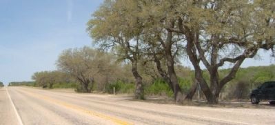
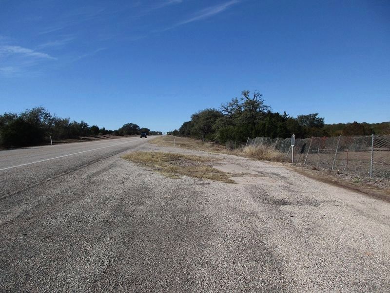
Location. 30° 52.2′ N, 99° 35.924′ W. Marker is in Menard, Texas, in Menard County. On SH 29 ROW, about 10 miles SE of Menard. Touch for map. Marker is in this post office area: Menard TX 76859, United States of America. Touch for directions.
Other nearby markers. At least 8 other markers are within 12 miles of this marker, measured as the crow flies. Site of Mission Santa Cruz de San Saba (approx. 8.7 miles away); In This Vicinity (approx. 9.8 miles away); Great Western Trail (approx. 11.3 miles away); Menard County Courthouse (approx. 11.4 miles away); Oliver Prince Smith (approx. 11.4 miles away); a different marker also named Great Western Trail (approx. 11.4 miles away); Menard County Memorial of Those Who Died (approx. 11.4 miles away); Fort McKavett C.S.A. / Texas Civil War Frontier Defense (approx. 11.4 miles away). Touch for a list and map of all markers in Menard.
Also see . . .
1. Pegleg Crossing - Handbook of Texas Online. Used by Spanish from the time of the establishment of San Sabá Mission in 1757 until the end of the colonial period. Later part of the San Antonio - El Paso mail route. (Submitted on April 9, 2010, by Richard Denney of Austin, Texas.)
2. Pinta Trail, Handbook of Texas Online. As part of the early Spanish route to and from the San Sabá Mission, Pegleg Crossing would have been part of the older Pinta Trail. (Submitted on April 9, 2010, by Richard Denney of Austin, Texas.)
Credits. This page was last revised on January 8, 2024. It was originally submitted on April 9, 2010, by Richard Denney of Austin, Texas. This page has been viewed 2,299 times since then and 137 times this year. Last updated on March 3, 2014, by Richard Denney of Austin, Texas. Photos: 1. submitted on April 9, 2010, by Richard Denney of Austin, Texas. 2. submitted on April 19, 2010, by Gregory Walker of La Grange, Texas. 3. submitted on January 8, 2024, by Jeff Leichsenring of Garland, Texas. • Bill Pfingsten was the editor who published this page.


