Estancia De Santiago in Tijeras in Bernalillo County, New Mexico — The American Mountains (Southwest)
Tijeras Canyon
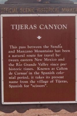
Photographed by Maribeth Robison, May 11, 2013
1. Tijeras Canyon Marker
Erected by New Mexico Historic Preservation Division.
Topics. This historical marker is listed in these topic lists: Hispanic Americans • Indigenous Peoples and Communities • Roads & Vehicles • Settlements & Settlers.
Location. 35° 4.821′ N, 106° 23.223′ W. Marker is in Tijeras, New Mexico, in Bernalillo County. It is in Estancia De Santiago. It is at the intersection of State Road 333 and State Road 337 on State Road 333. Touch for map. Marker is in this post office area: Tijeras NM 87059, United States of America. Touch for directions.

Regionally, this marker is in Greater Albuquerque. It is also in the American Southwest. Globally, it is in North America, the Western Hemisphere, the Western World, and the Anglosphere. Historically, it finds itself in what was once New Spain and also the Republic of Texas.
Other nearby markers. At least 8 other markers are within 9 miles of this marker, measured as the crow flies: Doña Elena Gallegos / Elena Gallegos Land Grant (approx. 7.4 miles away); John B. Robert Dam (approx. 8.3 miles away); Redstone (approx. 8.3 miles away); Terrier (approx. 8.4 miles away); TA-7C Corsair II (approx. 8.4 miles away); F-105D Thunderchief (approx. 8.4 miles away); Mikoyan-Gurevich MiG-21 “Fishbed” (approx. 8.4 miles away); New Mexico Air Guard, "The Tacos" (approx. 8.4 miles away).
this page online
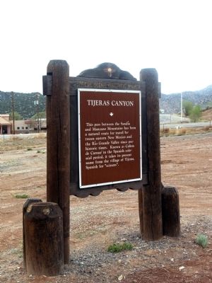
Photographed by Maribeth Robison, May 11, 2013
2. Tijeras Canyon Marker
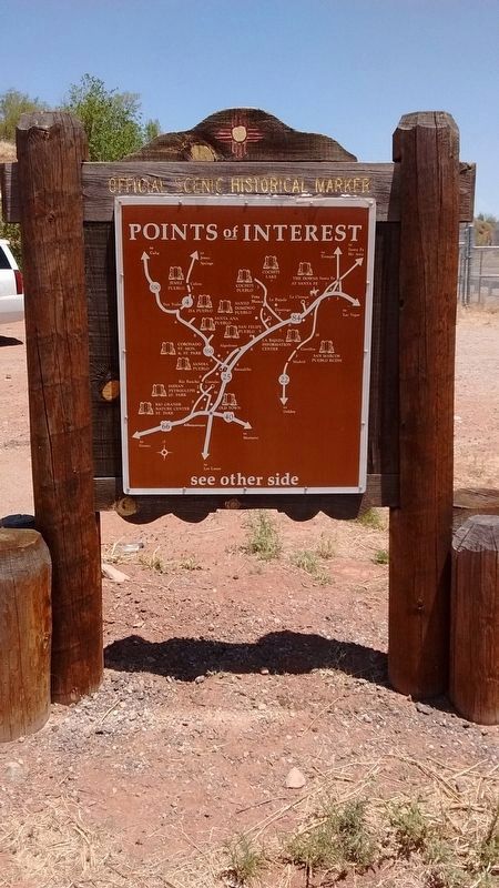
Photographed by Tom Bosse, May 20, 2018
3. Tijeras Canyon Marker reverse
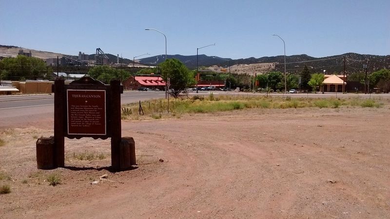
Photographed by Tom Bosse, May 20, 2018
4. Tijeras Canyon Marker
Credits. This page was last revised on February 2, 2023. It was originally submitted on April 2, 2014, by Maribeth Robison of Moriarty, New Mexico. This page has been viewed 1,620 times since then and 120 times this year. Photos: 1. submitted on April 14, 2014, by Maribeth Robison of Moriarty, New Mexico. 2. submitted on April 2, 2014, by Maribeth Robison of Moriarty, New Mexico. 3, 4. submitted on July 15, 2018, by Tom Bosse of Jefferson City, Tennessee. • Syd Whittle was the editor who published this page.
