Anchorage, Alaska — Northwest (North America)
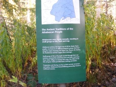
Ancient Traditions of the Athabascan People
Athabascans were highly nomadic, traveling in small groups to fish, hunt, and trap.
Athabascan territory, the largest area of all the Alaska Native peoples, was home to 11 different linguistic groups who lived along five major riverways: the Yukon, the Tanana, the Susitna, the Kuskokwim and the Copper River drainages.
Small groups of 20 to 40 people traveled through their vast territory, connected by numerous rivers and other waterways. From winter villages to summer fish camp, they followed the fish and game which provided food, clothing and shelter.
Cooperation and sharing was key to their survival. As hunters and trackers, Athabascans formed lifelong partnerships based on traditional customs.
Topics. This historical marker is listed in these topic lists: Anthropology & Archaeology • Native Americans • Waterways & Vessels.
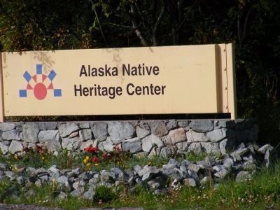
Location. 61° 13.991′ N, 149° 42.914′ W. Marker is in Anchorage, Alaska. Marker can be reached from Heritage Center Drive. The marker is located on the grounds of the Alaska Native Heritage Center. Touch for map. Marker is at or near this postal address: 8800 Heritage Center Drive (Entrance to the Park), Anchorage AK 99504, United States of America. Touch for directions.
Other nearby markers. At least 8 other markers are within 7 miles of this marker, measured as the crow flies . Mobile Architecture (a few steps from this marker); Athabascan Family Lodges and Cabins (within shouting distance of this marker); Raven the Creator (about 400 feet away, measured in a direct line); Fort Richardson National Cemetery-Gate (approx. 3.3 miles away); Resolution Park 1776 / 1778 (approx. 6.4 miles away); Captain James Cook (approx. 6.4 miles away); What is this “Rock Man”? (approx. 6˝ miles away); Oscar Gill House (approx. 6.6 miles away). Touch for a list and map of all markers in Anchorage.
Additional keywords. hunter-gatherers
Credits. This page was last revised on August 16, 2020. It was originally submitted on December 10, 2013, by Don Morfe of Baltimore, Maryland. This page has been viewed 907 times since then and 17 times this year. Last updated on April 5, 2014, by Barry Swackhamer of Brentwood, California. Photos: 1, 2, 3, 4, 5, 6. submitted on December 10, 2013, by Don Morfe of Baltimore, Maryland. • Syd Whittle was the editor who published this page.
