Notasulga in Macon County, Alabama — The American South (East South Central)
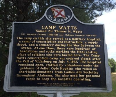
Camp Watts
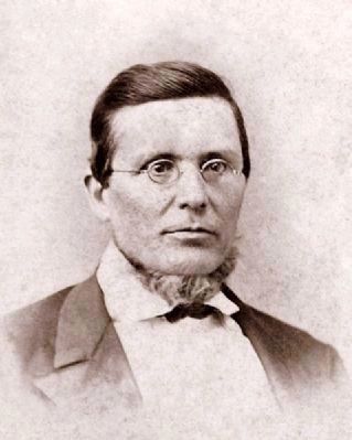
Named for Thomas H. Watts
— CSA Attorney General (1862-63) and Alabama Governor (1863-65) —
Erected 2007 by the Admiral Semmes Chapter, UDC & the Alabama Historical Association.
Topics and series. This historical marker is listed in these topic lists: Cemeteries & Burial Sites • Charity & Public Work • Science & Medicine • War, US Civil. In addition, it is included in the Alabama Historical Association, and the United Daughters of the Confederacy series lists. A significant historical month for this entry is July 1917.
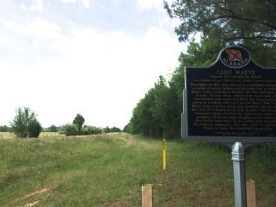
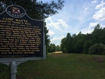
Location. 32° 32.04′ N, 85° 40.828′ W. Marker is in Notasulga, Alabama, in Macon County. Marker is on Union Camp Road, 0.2 miles north of Cooper Lane, on the right when traveling north. Touch for map . Marker is at or near this postal address: Union Camp Road, Notasulga AL 36866, United States of America. Touch for directions.
Other nearby markers. At least 8 other markers are within 5 miles of this marker, measured as the crow flies. Shiloh Missionary Baptist Church "The Tree" (approx. 0.4 miles away); Shiloh Missionary Baptist Church - Baptismal (approx. half a mile away); Shiloh Missionary Baptist Church - Church Privies (approx. half a mile away); Shiloh-Rosenwald School / Shiloh Missionary Baptist Church (approx. half a mile away); Shiloh Missionary Baptist Church Cemetery (approx. 1.1 miles away); Birthplace of Zora Neale Hurston (approx. 2.3 miles away); Bethlehem (approx. 2˝ miles away); Battle of Chehaw Station (approx. 4.4 miles away). Touch for a list and map of all markers in Notasulga.
Regarding Camp Watts. Camp Watts is currently private property and is used for cattle.
Credits. This page was last revised on July 25, 2018. It was originally submitted on May 8, 2014, by Mark Hilton of Montgomery, Alabama. This page has been viewed 1,956 times since then and 107 times this year. Photos: 1, 2, 3, 4. submitted on May 8, 2014, by Mark Hilton of Montgomery, Alabama. • Bernard Fisher was the editor who published this page.


