Otto in Macon County, North Carolina — The American South (South Atlantic)
Cherokee Defeat
Photographed by Mark Hilton, May 23, 2014
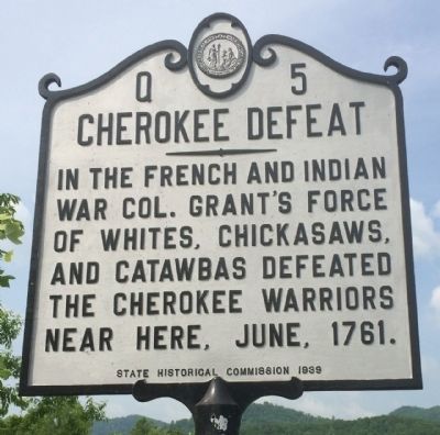
1. Cherokee Defeat Marker
In the French and Indian War Col. Grant's force of whites, Chickasaws, and Catawbas defeated the Cherokee warriors near here, June, 1761.
Erected 1939 by the State Historical Commission. (Marker Number Q-5.)
Topics and series. This historical marker is listed in these topic lists: Colonial Era • Indigenous Peoples and Communities • War, French and Indian. In addition, it is included in the North Carolina Division of Archives and History series list. A significant historical month for this entry is June 1761.
Location. 35° 1.067′ N, 83° 23.05′ W. Marker is in Otto, North Carolina, in Macon County. It is on Georgia Road (U.S. 441) 0.1 miles north of Mulberry Road, on the right when traveling north. Touch for map. Marker is at or near this postal address: 11219 Georgia Road, Otto NC 28763, United States of America. Touch for directions.

Regionally, this marker is in North Carolina’s and he Mountains in the Golden Corner. It is also in the American South, specifically in the Upper South, in Appalachia, and specifically in Southern Appalachia. Globally, it is in North America, the Western Hemisphere, the
this page online
Other nearby markers. At least 8 other markers are within 10 miles of this marker, measured as the crow flies: Cherokee Victory (approx. 1.7 miles away); Rabun Gap – Nacoochee School (approx. 3.8 miles away in Georgia); Brig·Gen·Francis·S·Bartow·C·S·A· (approx. 4.1 miles away in Georgia); Memorial Lands and Cottages (approx. 4½ miles away in Georgia); York House Inn (approx. 5½ miles away in Georgia); Coweeta Hydrologic Laboratory (approx. 5.8 miles away); William Bartram Trail (approx. 9½ miles away in Georgia); The Rabun County Courthouse (approx. 9.7 miles away in Georgia). Touch for a list and map of all markers in Otto.
Also see . . . Cherokee Defeat. North Carolina Highway Historical Marker Program website (Submitted on May 23, 2014, by Mark Hilton of Montgomery, Alabama.)
Photographed by Mark Hilton, May 23, 2014
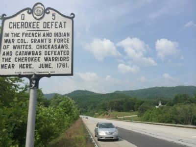
2. Cherokee Defeat Marker Area (Looking South)
Photographed by Mark Hilton, May 23, 2014
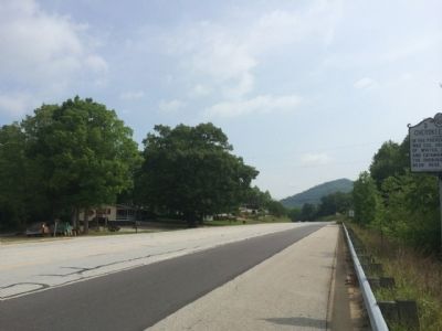
3. Cherokee Defeat Marker Area (Looking North)
Credits. This page was last revised on May 28, 2022. It was originally submitted on May 23, 2014, by Mark Hilton of Montgomery, Alabama. This page has been viewed 1,598 times since then and 72 times this year. Photos: 1, 2, 3. submitted on May 23, 2014, by Mark Hilton of Montgomery, Alabama. • Bernard Fisher was the editor who published this page.
