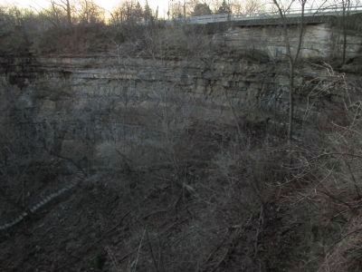
Niagara Falls in Niagara County, New York — The American Northeast (Mid-Atlantic)
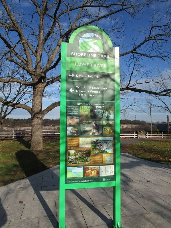
Devil's Hole State Park
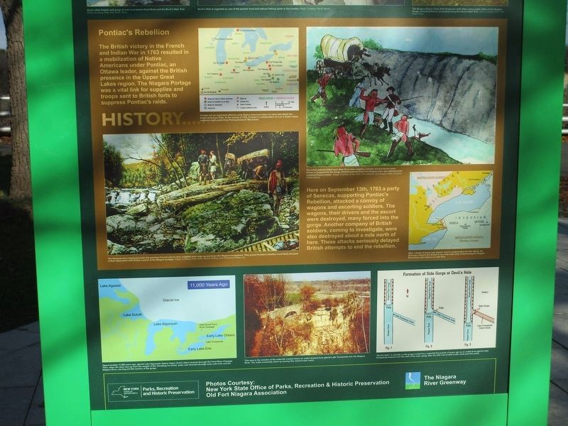
History...Pontiac's Rebellion. The British victory in the French and Indian War in 1763 resulted in a mobilization of Native Americans under Pontiac, an Ottawa leader, against the British presence in the Upper Great Lakes region. The Niagara Portage was a vital link for supplies and troops sent to British forts to suppress Pontiac's raids.
Here on September 13, 1763 a party of Senecas, supporting Pontiac's Rebellion, attacked a convoy of wagons and escorting soldiers. The wagons, their drivers and the escort were destroyed, amny forced into the gorge. Another company of British soldiers, coming to investigate, were also destroyed about a mile north of here. These attacks seriously delayed British attempts to end the rebellion.
[captions, history:] Pontiac led an organized effort to unite Native American tribes to rebel and attack the Ango-American forts. In the spring of 1763, Pontiac's confederation of over a dozen tribes captured eight posts from Pennsylvania to Wisconsin. The initial ambush killed more than 20 as men, wagons, animals and provisions were driven or jumped into the Gorge. Reinforcements from Fort Niagara were also attacked and sustained heavy losses. The Senecas were employed under the previous French rule to carry supplies and cargo up and down the Niagara escarpment. They joined Pontiac's rebellion most likely because of their discontent with British control of the Niagara Portage. Approximately 11,000 years ago, a glacial Lake Algonquin (future Upper Great Lakes) drained through the Trent River Passage. Then, when the land rose up from the weight of the retreating ice sheet, water was diverted through early Lake Erie and the Niagara River, carving out this section of the gorge. This area is the remains of the waterfall created where an outlet drained from glacial Lake Tonawanda into the Niagara River. The outlet eventually dried up leaving this semicircular notch. Devil's Hole is actually a side gorge created by a waterfall thousands of years ago as an outlet from glacial Lake Tonawanda drained over the side of the main gorge after the falls had eroded south, back past this point.
[ The following is the text of the prior marker.]
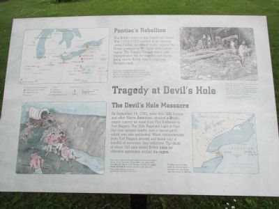
The British victory in the French and Indian War (1754-1763) resulted in an uprising under Pontiac, an Ottawa leader, against the British presence in the Upper Great Lakes region. The Niagara Portage was a vital transportation link for supplies and troops being sent to British forts to suppress Pontiac's raids.
Pontiac made an organized effort to get many tribes to rebel and attack the Anglo-American forts. He was successful in the spring of 1763 in capturing eight posts from Pennsylvania to Wisconsin.
The Devil's Hole Massacre
On September 14, 1763, more than 300 Seneca and other Native Americans attacked a British supply convoy en route from Fort Schlosser to Fort Niagara. The 80th Regiment of Light Foot that was camped nearby sent a rescue party, which was also ambushed. When reinforcements from Fort Niagara arrived and found only a handful of survivors, they withdrew. The death of about 100 men ended British plans for offensive operations around the region.
Many men, wagons, and oxen and horses were driven or jumped into the gorge. more than 20 men died in the initial attack. John Stedman, "Master of the Portage," escorting the supply convoy, survived the ambush and fled to Fort Schlosser. Image courtesy of the artist, Carol Breton, and the Niagara Falls (Ontario) Public Library.
Under the previous French rule, the Senecas
had been employed carrying supplies and cargo up and down the Niagara escarpment. They joined Pontiac's uprising most likely because of their discontent over the British control of the Niagara portage. Image courtesy of the artist, Robert Griffing and Paramount Press, Inc.
To make amends for their attack, the Senecas ceded a four-mile-wide strip of land from Lake Ontario to Lake Erie.
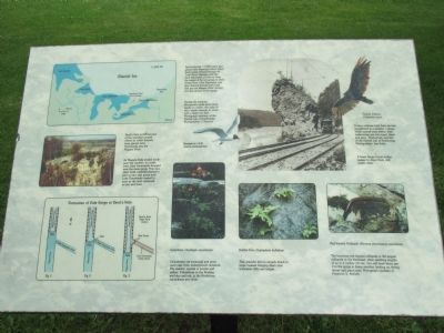
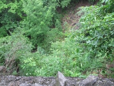
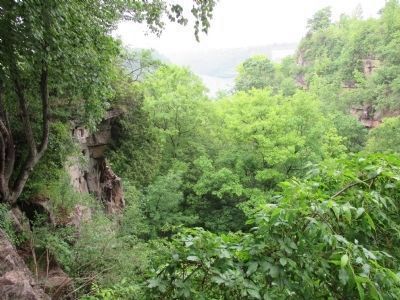
Devil's Hole is the remains of the waterfall created where an outlet drained from glacial lake Tonawanda into the Niagara River.
As Niagara Falls eroded south past this location, an outlet from Lake Tonawanda dropped over the the main gorge. This new, short-lived waterfall started to form a new side gorge until Lake Tonawanda ceased to exist as the land continued to rise and drain.
Approximately 11,000 years ago, glacial Lake Algonquin (future Upper Great Lakes) drained through the Trent River Passage until the land rebounded, or rose up, from the weight of the retreating ice sheet. Water from Lake Algonquin was then diverted through early Lake Erie and the Niagara River, carving out this section of the gorge.
During the summer, Boneparte's gulls have black heads. In winter, the color of their heads changes to white with a black ear spot. Photograph courtesy of the Cornell Lab of Ornithology.
Photographer: J. Surman. Boneparte's Gull (Larus philadelphia).
Columbine (Aquilegia canadensis). Columbines are perennial and grow each year from underground rootstock. The eastern species is scarlet and yellow. Columbines in the Rockies are blue and red; in the Northwest, columbines are white.
Turkey Vulture (Cathartes aura). Turkey vultures hold their six-foot wingspread in a shallow v-shape. When viewed from below, their underwings are two-toned black and gray. Photograph courtesy of the Cornell Lab of Ornithology. Photographer: Lee Kuhn.
A Great Gorge Route trolley passes by Giant Rock, still visible today.
Bulblet Fern (Cystopteris bulbifera). This graceful fern is usually found in large masses hanging down over limestone cliffs and ledges.
Red-banded Millipede (Narceus americanus annualaris). The harmless red-banded millipede is the largest millipede in the Northeast, often reaching lengths of up to 4 inches (10 cm). You will most likely see it in the gorge in damp weather, feeding on rotting leaves and plant roots. Photograph courtesy of Frederick D. Atwood.
Erected by New York State Office of Parks, Recreation and Historic Preservation.
Topics. This historical marker is listed in these topic lists: Environment • Native Americans
• War, French and Indian. A significant historical date for this entry is September 13, 1763.
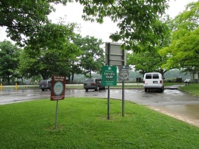
Location. 43° 7.996′ N, 79° 2.837′ W. Marker is in Niagara Falls, New York, in Niagara County. Marker can be reached from the intersection of Niagara Scenic Parkway (New York State Route 957A) and Lewiston Road (New York State Route 104). Marker is in Devil's Hole State Park at the north corner of the parking lot. The park is accessed from the Niagara Scenic Parkway or it's exchange with NY route 104 immediately south of NY route 61. Touch for map. Marker is in this post office area: Niagara Falls NY 14303, United States of America. Touch for directions.
Other nearby markers. At least 8 other markers are within walking distance of this marker. Gacioch Family Alumni and Admissions Center (approx. 0.4 miles away); Lynch Hall (1927), O'Donoughue Hall (1909) (approx. half a mile away); Bailo Hall (1992) (approx. half a mile away); St. Vincent's Hall (approx. half a mile away); The Seminary of Our Lady of Angels (approx. half a mile away); Alumni Hall / Chapel (approx. half a mile away); In Memory of Thomas F. Hopkins (approx. half a mile away); Clet Hall, Marillac Hall, Laboure Hall (approx. half a mile away).
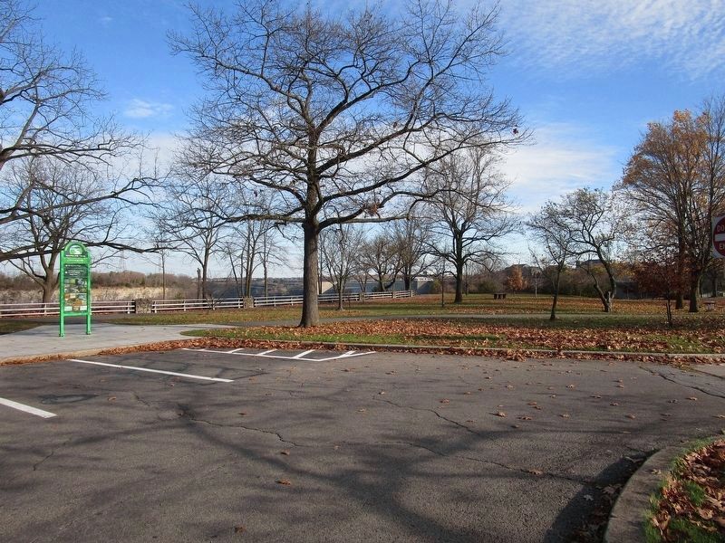
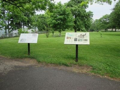
More about this marker. The old marker was removed circa 2020-21. It was two boards immediately next to each other of identical size
and orientation. The left was titled The Tragedy at Devil's Hole. The right had no title; it showed the natural history of Devil's Hole, some current wildlife, and a Great Gorge Route trolley.
Also see . . .
1. Battle of Devil's Hole. Wikipedia entry (Submitted on June 25, 2014, by Anton Schwarzmueller of Wilson, New York.)
2. Devil's Hole State Park. New York State Office of Parks, Recreation and Historic Preservation website entry:
There is no fee for the park. (Submitted on June 25, 2014, by Anton Schwarzmueller of Wilson, New York.)
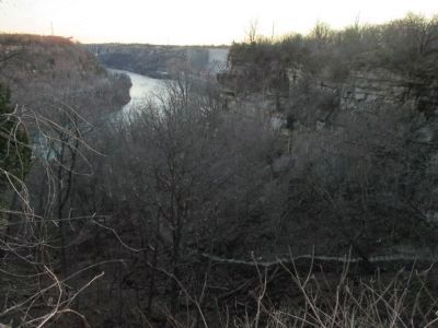
Photographed By Anton Schwarzmueller, April 19, 2015
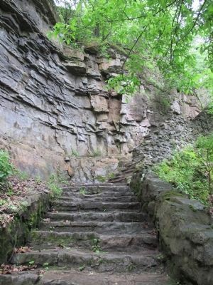
14. Devil's Hole and Trail
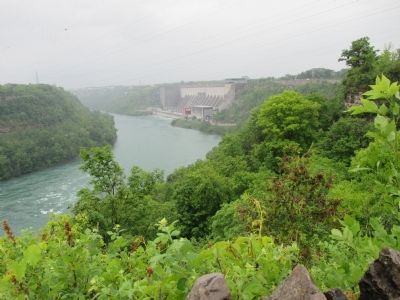
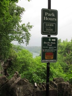
Easy to see without foliage. Northward view, downriver. This is the Niagara River. The left side is Canada. The dam is the Niagara Power Project, New York State Power Authority. The east end of the Lewiston-Queenston bridge is seen in the distance.
Credits. This page was last revised on December 2, 2022. It was originally submitted on June 25, 2014, by Anton Schwarzmueller of Wilson, New York. This page has been viewed 1,712 times since then and 73 times this year. Photos: 1. submitted on November 15, 2022, by Anton Schwarzmueller of Wilson, New York. 2, 3. submitted on June 25, 2014, by Anton Schwarzmueller of Wilson, New York. 4, 5. submitted on November 15, 2022, by Anton Schwarzmueller of Wilson, New York. 6, 7, 8, 9, 10, 11, 12. submitted on June 25, 2014, by Anton Schwarzmueller of Wilson, New York. 13, 14. submitted on April 24, 2015, by Anton Schwarzmueller of Wilson, New York. • Bill Pfingsten was the editor who published this page.
