Williamsburg, Virginia — The American South (Mid-Atlantic)
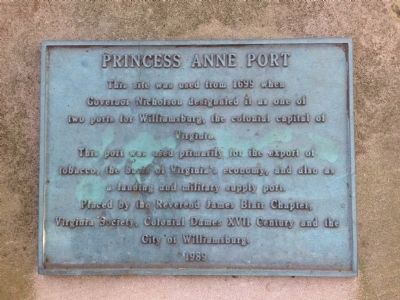
Princess Anne Port
This port was used primarily for the export of tobacco, the basis of Virginia's economy, and also as a landing and military supply port.
Placed by the Reverend James Blair Chapter, Virginia Society, Colonial Dames XVII Century and the City of Williamsburg.
Erected 1989 by Reverend James Blair Chapter, Virginia Society, Colonial Dames XVII Century and the City of Williamsburg.
Topics. This historical marker is listed in these topic lists: Colonial Era • Industry & Commerce • Settlements & Settlers • Waterways & Vessels. A significant historical year for this entry is 1699.
Location. 37° 15.141′ N, 76° 42.618′ W. Marker is in Williamsburg, Virginia. Marker can be reached from South Henry Street (Virginia Route 132) 0.6 miles north of Humelsine Parkway (Virginia Route 199). Touch for map. Marker is at or near this postal address: 2102 South Henry Street, Williamsburg VA 23185, United States of America. Touch for directions.
Other nearby markers. At least 8 other markers are within 2 miles of this marker, measured as the crow flies. Great Neck (approx. half a mile away); Mill Dam (approx. 0.6 miles away); The Palisades (approx. ¾ mile away); Galt (approx. 1.1 miles away); Williamsburg United Methodist Church (approx. 1.1 miles away); Methodism in Williamsburg (approx. 1.1 miles away); Littletown (approx. 1.2 miles away); The Public Hospital of 1773 (approx. 1.2 miles away). Touch for a list and map of all markers in Williamsburg.
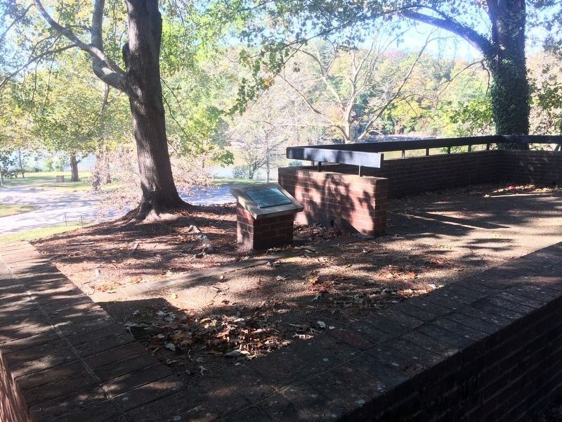
More about this marker. The marker is accessible from a flight of concrete stairs leading up a hill from the College Landing Park parking lot. After entering the park, the hill is on the left.
Also see . . . Port Anne's Place in Colonial History. Port Anne Homeowners Association (Submitted on August 26, 2014.)
Credits. This page was last revised on March 2, 2021. It was originally submitted on August 26, 2014, by Michael Umberger of Williamsburg, Virginia. This page has been viewed 858 times since then and 40 times this year. Photos: 1. submitted on August 26, 2014, by Michael Umberger of Williamsburg, Virginia. 2, 3. submitted on October 23, 2016, by J. Makali Bruton of Accra, Ghana. • Bernard Fisher was the editor who published this page.


