Okmulgee in Okmulgee County, Oklahoma — The American South (West South Central)
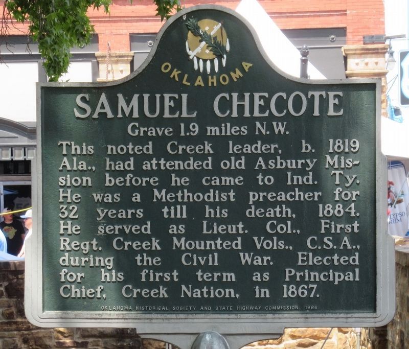
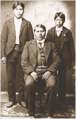
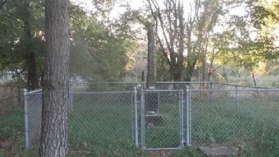
Samuel Checote
Grave 1.9 miles N.W.
Erected 1966 by Oklahoma Historical Society & State Highway Commission.
Topics and series. This historical marker is listed in these topic lists: Cemeteries & Burial Sites • Government & Politics • Native Americans • War, US Civil. In addition, it is included in the Oklahoma Historical Society series list. A significant historical year for this entry is 1819.
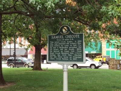
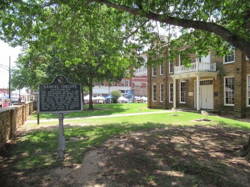
Location. 35° 37.384′ N, 95° 58.338′ W. Marker is in Okmulgee, Oklahoma, in Okmulgee County. Marker is on West 6th Street (State Highway 56), on the left when traveling west. The marker is on the grounds of the Old Creek Council House. Touch for map. Marker is at or near this postal address: 100 West 6th Street, Okmulgee OK 74447, United States of America. Touch for directions.
Other nearby markers. At least 8 other markers are within 2 miles of this marker, measured as the crow flies. Creek Capitol (here, next to this marker); Trail of Tears (a few steps from this marker); Creek Council House Capitol Of The Muscogee Nation (a few steps from this marker); First Bank of Okmulgee (within shouting distance of this marker); Okmulgee County Veterans Memorial (approx. 0.2 miles away); 2nd Lt. Kenneth Strang Memorial (approx. 1.2 miles away); Forced to Capitulate by Command or Shot out of the Sky: (approx. 1.8 miles away); Ernest Childers (approx. 1.8 miles away). Touch for a list and map of all markers in Okmulgee.
Credits. This page was last revised on January 4, 2023. It was originally submitted on August 28, 2014, by Michael Manning of Woodlawn, Tennessee. This page has been viewed 629 times since then and 28 times this year. Photos: 1. submitted on January 3, 2023, by Jason Armstrong of Talihina, Oklahoma. 2. submitted on August 28, 2014, by Michael Manning of Woodlawn, Tennessee. 3. submitted on January 3, 2023, by Jason Armstrong of Talihina, Oklahoma. 4, 5. submitted on August 28, 2014, by Michael Manning of Woodlawn, Tennessee. • Bernard Fisher was the editor who published this page.
