Near Jackson in Hinds County, Mississippi — The American South (East South Central)
Pocahontas Mounds
Inscription.
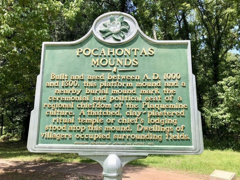
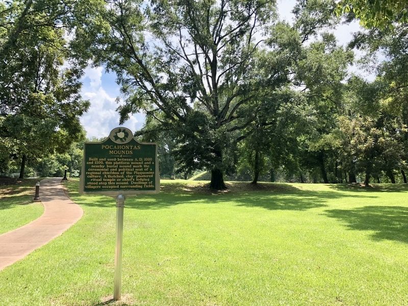
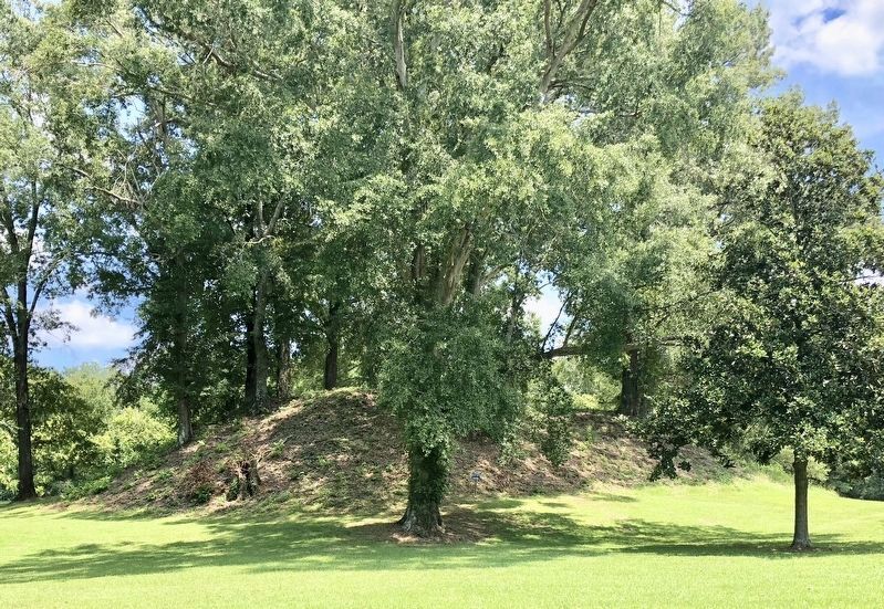
Built and used between A.D 1000 and 1300, this platform mound and a nearby burial mound mark the ceremonial and political seat of a regional chiefdom of the Plaquemine culture. A thatched, clay-plastered ritual temple or chief's lodging stood atop this mound. Dwellings of villagers occupied surrounding fields.
Erected 1993 by the Mississippi Department of Archives and History.
Topics and series. This historical marker is listed in these topic lists: Anthropology & Archaeology • Cemeteries & Burial Sites • Native Americans • Settlements & Settlers. In addition, it is included in the Mississippi State Historical Marker Program series list.
Location. 32° 28.235′ N, 90° 17.294′ W. Marker is near Jackson, Mississippi, in Hinds County. Marker can be reached from U.S. 49, 8.8 miles north of Interstate 220, in the median. Marker is located in the median at the public "Pocahontas Mound Roadside Park" rest stop. Touch for map. Marker is at or near this postal address: 13831 US Highway 49, Jackson MS 39209, United States of America. Touch for directions.
Other nearby markers. At least 8 other markers are within 6 miles of this marker, measured as the crow flies. Environmental Archaeology (a few steps from this marker); The Evolution of the Pocahontas Site (within shouting distance of this marker); Midden: Sifting Through the Trash (about 400 feet away, measured in a direct line); Landscape Modification in Prehistoric Times (about 700 feet away); Ceremonial Mounds Of The Southeast (about 700 feet away); a different marker also named Pocahontas Mounds (approx. 0.2 miles away); Stone Fence Posts Mid-Western Kansas 1880’s (approx. 3.7 miles away); Osburn Stand (approx. 6 miles away). Touch for a list and map of all markers in Jackson.
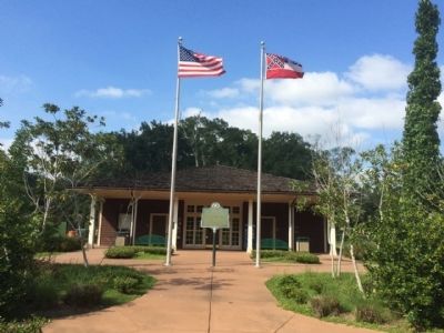
More about this marker. Marker was moved from its original location in front of the rest area info center/restroom building (see photos). It was replaced with a Mississippi Mound Trail marker.
Open to the public daily dawn to dusk, free of charge.
Related marker. Click here for another marker that is related to this marker.
Also see . . .
1. Pocahontas Mounds. Wikipedia entry (Submitted on March 15, 2021, by Larry Gertner of New York, New York.)
2. Mississippi Mound Trail. Mississippi Historical markers website entry (Submitted on March 15, 2021, by Larry Gertner of New York, New York.)
Credits. This page was last revised on April 3, 2024. It was originally submitted on September 18, 2014, by Mark Hilton of Montgomery, Alabama. This page has been viewed 644 times since then and 42 times this year. Photos: 1, 2, 3. submitted on August 4, 2018, by Mark Hilton of Montgomery, Alabama. 4. submitted on September 18, 2014, by Mark Hilton of Montgomery, Alabama. 5. submitted on August 4, 2018, by Mark Hilton of Montgomery, Alabama. • Bernard Fisher was the editor who published this page.


