Near Plain City in Madison County, Ohio — The American Midwest (Great Lakes)
Old Indian Trail
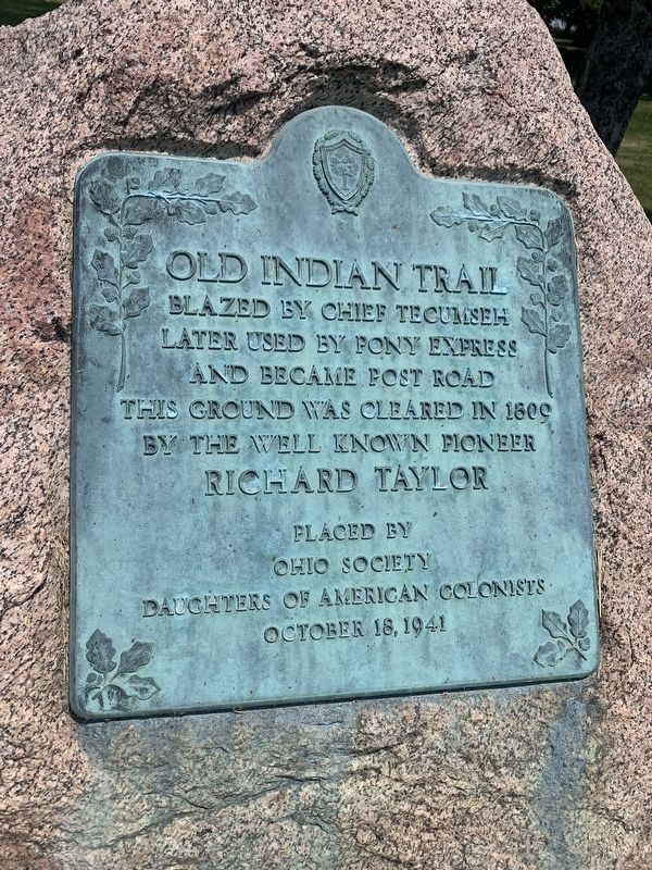
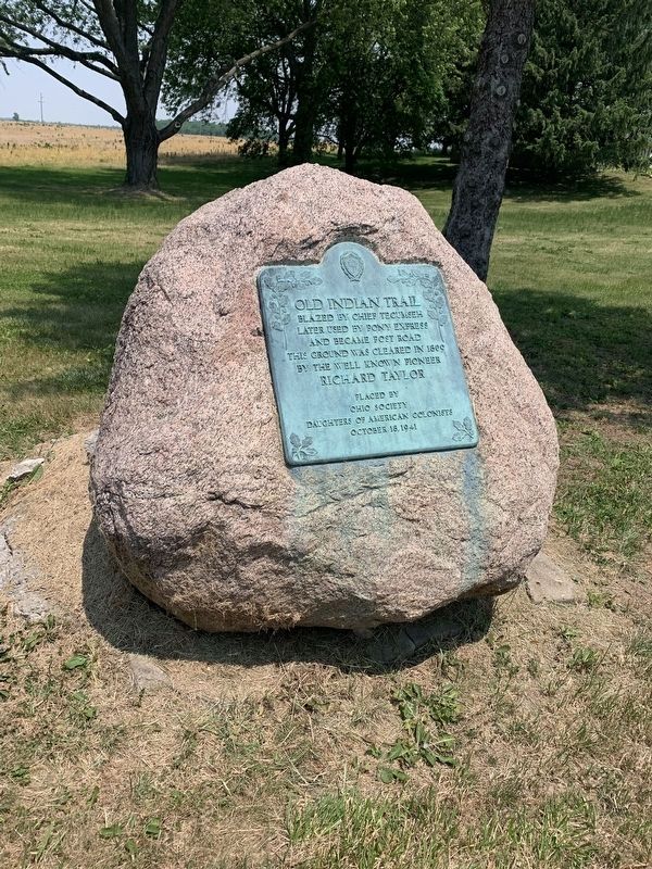
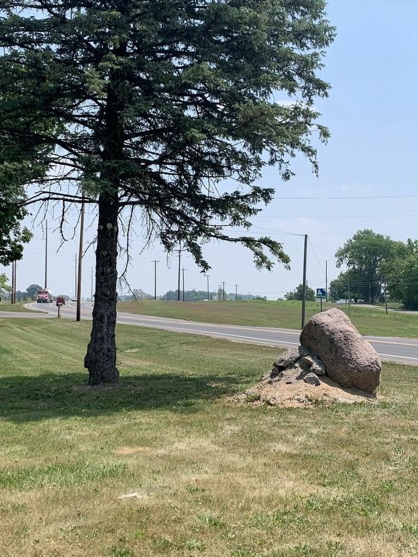
Old Indian Trail blazed by Chief Tecumseh
later used by Pony Express and became Post Road
This ground was cleared in 1809 by well known pioneer Richard Taylor
Erected 1941 by Ohio Society Daughters of American Colonists.
Topics and series. This historical marker is listed in these topic lists: Native Americans • Roads & Vehicles • Settlements & Settlers. In addition, it is included in the Daughters of the American Colonists series list. A significant historical year for this entry is 1809.
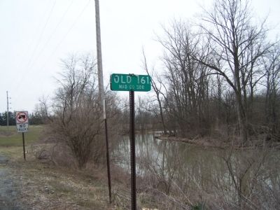
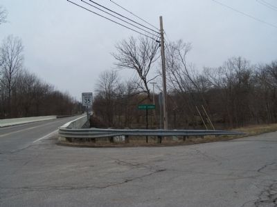
Location. 40° 6.433′ N, 83° 15.383′ W. Marker is near Plain City, Ohio, in Madison County. Marker is at the intersection of Post Road (Ohio Route 161) and Old 161 (County Route 308), on the right when traveling west on Post Road. Touch for map. Marker is at or near this postal address: 7334 Butler Ave, Plain City OH 43064, United States of America. Touch for directions.
Other nearby markers. At least 8 other markers are within 5 miles of this marker, measured as the crow flies. Plain City Town Clock (approx. 0.6 miles away); Joshua Ewing (approx. 0.9 miles away); Jerome Township Soldiers' Monument (approx. 3˝ miles away); Jerome Township Civil War Memorial (approx. 3˝ miles away); New California Church (approx. 3.6 miles away); Louis and Magdalena Rings Farm (approx. 4.6 miles away); Unionville Center (approx. 4.9 miles away); Vice President Charles Warren Fairbanks / Charles Warren Fairbanks Birthplace (approx. 4.9 miles away). Touch for a list and map of all markers in Plain City.
Credits. This page was last revised on June 9, 2023. It was originally submitted on October 1, 2014, by Rev. Ronald Irick of West Liberty, Ohio. This page has been viewed 822 times since then and 45 times this year. Photos: 1, 2. submitted on June 8, 2023, by Mark Moxley-Knapp of Columbus, Ohio. 3, 4, 5, 6. submitted on October 1, 2014, by Rev. Ronald Irick of West Liberty, Ohio. 7. submitted on June 8, 2023, by Mark Moxley-Knapp of Columbus, Ohio. • Al Wolf was the editor who published this page.
