
Chickamauga in Walker County, Georgia — The American South (South Atlantic)
American Indian Occupation of the Area
Historic Chickamauga Georgia
Photographed by Dale K. Benington, August 19, 2014
1. Historic Chickamauga Georgia Marker
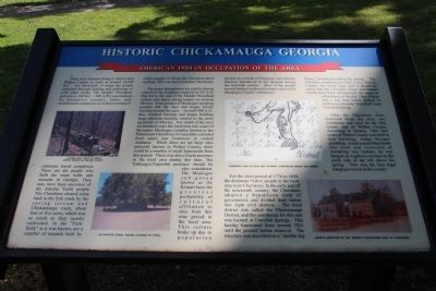
The major disruption in the earth's climate caused by the Krakatoa eruption in 535 A.D. that led to the end of the Middle Woodland culture also had a strong impact on western Mexico. Four groups of Muskogee speaking peoples left the area and began slowly moving toward the east. Around 900 A.D., they reached Georgia and began building
this page online
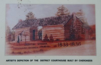
For the short period of 1776 to 1838, the dominant Native people in the local area were Cherokees. In the early part of the nineteenth century, the Cherokees adopted a Republican form of government, divided their nation into eight civil districts.
Photographed by Dale K. Benington, August 19, 2014
2. Historic Chickamauga Georgia Marker
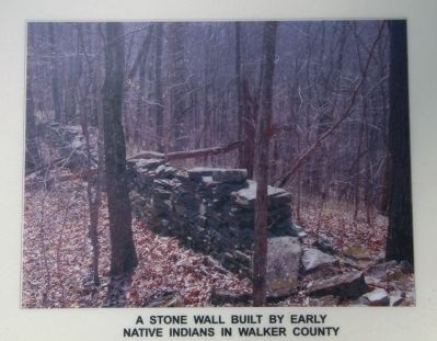
A close-up view of a photo displayed on the historical marker that shows a stone wall built by early Native Indians in Walker County.
After the Cherokees were removed from the area, the courthouse was used for the first county seat of Walker County. According to Sartain: "The first court of Walker County was held in this building, Judge Hooper presiding. A man named Hog Smith was tried and convicted of murdering two Indians; he was hanged on a gallows erected on the north side of the hill above the spring. This was the first legal hanging to occur in the county.
Topics. This historical marker is listed in these topic lists: Anthropology & Archaeology • Indigenous Peoples and Communities
Photographed by Dale K. Benington, August 19, 2014
3. Historic Chickamauga Georgia Marker
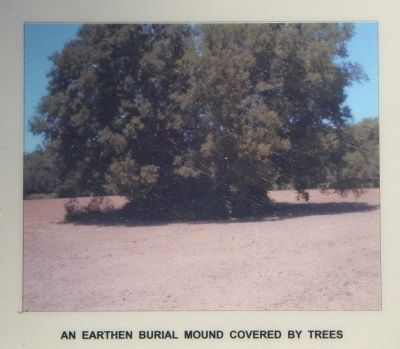
A close-up view of a photo displayed on the historical marker that shows an earthen burial mound covered by trees.
Location. 34° 52.242′ N, 85° 17.606′ W. Marker is in Chickamauga, Georgia, in Walker County. It is on Cove Road (Georgia Route 341) south of Gordon Street, on the right when traveling south. This historical marker is located in the downtown area, in the southeast section of the grounds of the Gordon-Lee Mansion, along a walkway that leads to the Gordon-Lee Mansion complex. Touch for map. Marker is at or near this postal address: 217 Cove Road, Chickamauga GA 30707, United States of America. Touch for directions.

Regionally, this marker is in Georgia’s Mountains. It is also in the American South, specifically in the Deep South, in Appalachia, and specifically in Southern Appalachia. Globally, it is in North America, the Western Hemisphere, the Western World, and the Anglosphere. Historically, it finds itself in what was once the original Cherokee Nation, the territory of the Mississippian Culture, one of the original Thirteen Colonies, one of the Confederate States of America, and the Antebellum South.
Other nearby markers. At least 8 other
Photographed by Dale K. Benington, August 19, 2014
4. Historic Chickamauga Georgia Marker
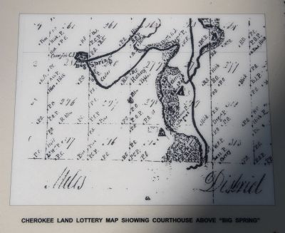
A close-up view of a Cherokee Land Lottery Map, displayed on the historical marker, that shows the Cherokee courthouse above the "Big Spring."
Photographed by Dale K. Benington, August 19, 2014
5. Historic Chickamauga Georgia Marker
A close-up view of an artist's depiction, displayed on the historical marker, that shows the district courthouse built by the Cherokees.
Photographed by Dale K. Benington, August 19, 2014
6. Historic Chickamauga Georgia Marker
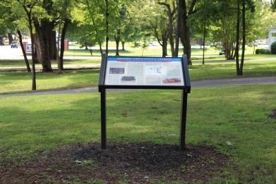
View looking south, of the historical marker, situated on the grounds of the Gordon-Lee Mansion.
Photographed by Dale K. Benington, August 19, 2014
7. Historic Chickamauga Georgia Marker
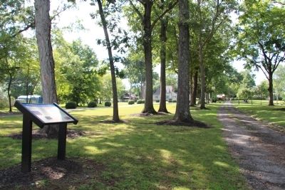
View of the historical marker, looking west along the pathway that leads to the Gordon-Lee Mansion complex.
Photographed by Dale K. Benington, August 19, 2014
8. Historic Chickamauga Georgia Marker
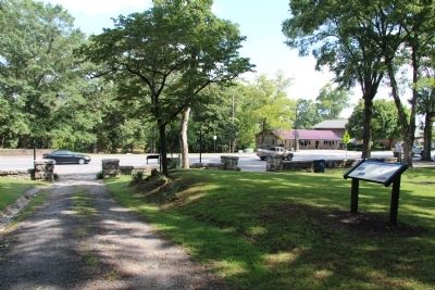
View of the historical marker, looking east along the pathway that leads to the entry gate of the grounds of the Gordon-Lee Mansion, with a view of Cove Road in the distant background.
Credits. This page was last revised on June 16, 2016. It was originally submitted on October 3, 2014, by Dale K. Benington of Toledo, Ohio. This page has been viewed 1,772 times since then and 86 times this year. Photos: 1, 2, 3, 4, 5, 6, 7, 8. submitted on October 3, 2014, by Dale K. Benington of Toledo, Ohio.
