Near Union in Boone County, Kentucky — The American South (East South Central)
Piatt’s Landing / General E.R.S. Canby
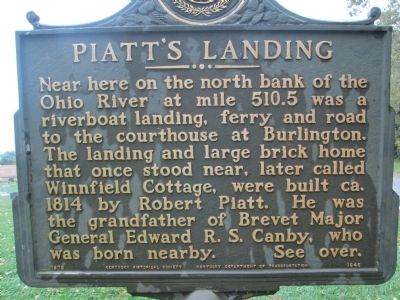
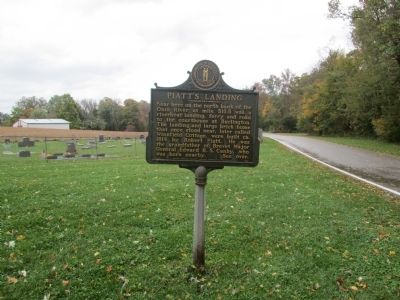
Piatt's Landing
Near here on the north bank of the Ohio River at mile 510.5 was a riverboat landing, ferry, and road to the courthouse at Burlington. The landing and large brick home that once stood near, later called Winnfield Cottage, were built ca. 1814 by Robert Piatt. He was the grandfather of Brevet Major General Edward R. S. Canby, who was born nearby.
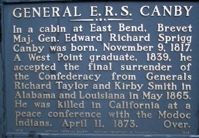
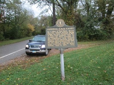
General E.R.S. Canby
In a cabin at East Bend, Brevet Maj. Gen. Edward Richard Sprigg Canby was born, November 9, 1817. A West Point graduate of 1839, he accepted the final surrender of the Confederacy from Generals Richard Taylor and Kirby Smith in Alabama and Louisiana in May 1865. He was killed in California at a peace conference with Modoc Indians, April 11, 1873.
Erected 1979 by Kentucky Historical Society and Kentucky Department of Transportation. (Marker Number 1646.)
Topics and series. This historical marker is listed in these topic lists: Roads & Vehicles • Settlements & Settlers • Wars, US Indian • Waterways & Vessels. In addition, it is included in the Kentucky Historical Society series list. A significant historical date for this entry is April 11, 2012.
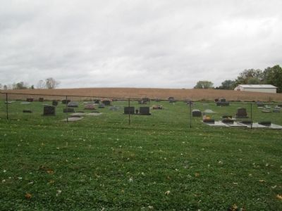
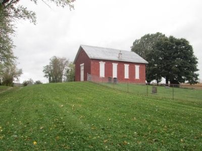
Location. 38° 55.168′ N, 84° 51.485′ W. Marker is near Union, Kentucky, in Boone County. Marker is on Lower River Road, on the left when traveling west. marker is in the absolute middle of nowhere. Take St Rt 338 west off US 127. Go past Big Bone Lick State Park and Big Bone Methodist Church. Continue westbound to a crossroad at East Bend Church. St Rt 338 “Beaver Rd” turns right, (north) and becomes East Bend Rd. However, going on west, the unimproved road is Lower River Road. Continue westbound on Lower River Road. Marker, cemetery and old brick structure are less than ˝ mile ahead on the left. Approximately 10 miles west of US 127. Touch for map. Marker is at or near this postal address: 12343 Lower River Rd, Union KY 41091, United States of America. Touch for directions.
Other nearby markers. At least 8 other markers are within 2 miles of this marker, measured as the crow flies. Passage To Freedom From Slavery (approx. 1.7 miles away); Rabbit Hash, Kentucky (approx. 1.7 miles away); J.W. Whitlock & The Hoosier Boy (approx. 1.8 miles away in Indiana); Rising Sun's Casino (approx. 1.8 miles away in Indiana); Sharing the Wealth (approx. 1.8 miles away in Indiana); Riverboat Gaming Referendum (approx. 1.8 miles away in Indiana); 1974 Tornados (approx. 1.8 miles away in Indiana); Ohio County Elementary Middle School (approx. 1.8 miles away in Indiana).
More about this marker. Note: Geographical Oddity; this area is known as the “East Bend” or “East Bend Bottom”, at this point the NORTH bank of the Ohio River is Kentucky.
Continuing west, then north along the river, on Lower River Road, takes the explorer to Rabbit Hash.
Credits. This page was last revised on June 3, 2021. It was originally submitted on November 25, 2014, by Rev. Ronald Irick of West Liberty, Ohio. This page has been viewed 795 times since then and 52 times this year. Photos: 1, 2, 3, 4, 5, 6. submitted on November 25, 2014, by Rev. Ronald Irick of West Liberty, Ohio. • Al Wolf was the editor who published this page.
