"New Territory"
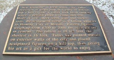
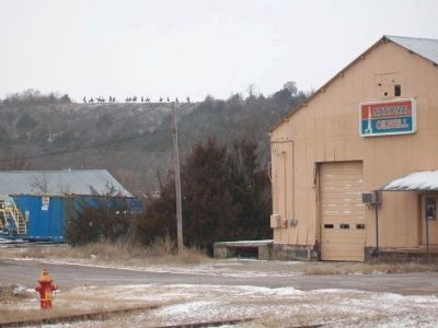
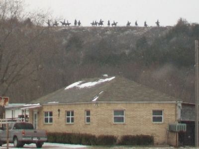
"New Territory" is local artist, Cha' Tullis' depiction of years past as a party of Indians top a hill to find a valley with fresh running water; a perfect place to camp and rest. Made of 1/4" sheet steel, pipe and sucker rods, the sculptured scene is a fitting addition to Hominy, City of Murals. Fifteen figures weighing from 1200 to 2000 lbs each are set in cement. The tallest is 19 1/2 feet; the shortest is 16 feet. Tullis has painted murals on exterior walls of the city and placed sculptured figures on a hill top, thus giving his art as a gift for the world to enjoy.
Topics. This historical marker is listed in these topic lists: Arts, Letters, Music • Environment • Indigenous Peoples and Communities • Man-Made Features. A significant historical year for this entry is 1200.
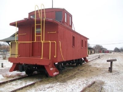
Location. 36° 24.923′ N, 96° 23.819′ W. Marker is in Hominy, Oklahoma, in Osage County. It is on Main Street west of Katy Avenue, on the left when traveling west. Marker is almost hidden by the wooden caboose next to the former railroad depot, while the artwork dominates the hilltop about 0.4 miles WNW of the depot. Touch for map. Marker
this page online

Regionally, this marker is in the Osage Nation and in Greater Tulsa. It is also in the American South, specifically on the prairies, and on the Southern Plains. Globally, it is in North America, the Western Hemisphere, the Western World, and the Anglosphere. Historically, it finds itself in what was once the territory of the Mississippian Culture and also the Louisiana Purchase.
Other nearby markers. At least 3 other markers are within 15 miles of this marker, measured as the crow flies: Marland Filling Station (approx. ¼ mile away); Cleveland (approx. 9.1 miles away); The Battle of Wooster Mound (approx. 14.4 miles away).
Credits. This page was last revised on September 24, 2020. It was originally submitted on March 1, 2015, by William Fischer, Jr. of Reynoldsburg, Ohio. This page has been viewed 626 times since then and 25 times this year. Photos: 1, 2, 3, 4. submitted on March 1, 2015, by William Fischer, Jr. of Reynoldsburg, Ohio.
