Kingsland in Camden County, Georgia — The American South (South Atlantic)
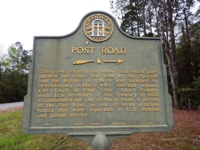
Post Road
This road, formerly an Indian trail which paralleled the coast, was used by the Spanish and the British. In 1778 it was traveled by the Revolutionary soldiers who marched against Fort Tonyn at Point Peter. Albert Gallatin while U.S. Secretary of the Treasury in 1805 recommended the Old St. Marys Road, a portion of the Post Road, as one of seven principal routes that were important to U.S. defense and postal service.
Erected 1953 by Georgia Historical Commission. (Marker Number 020-5.)
Topics and series. This historical marker is listed in these topic lists: Colonial Era • Native Americans • Roads & Vehicles • War, US Revolutionary. In addition, it is included in the Georgia Historical Society series list. A significant historical year for this entry is 1778.
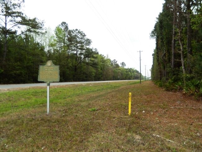
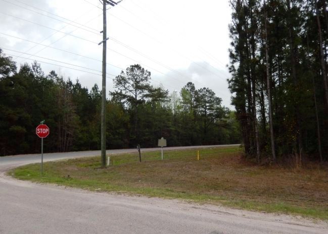
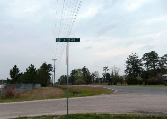
Location. 30° 52.258′ N, 81° 42.278′ W. Marker is in Kingsland, Georgia, in Camden County. Marker is at the intersection of U.S. 17 and Old Jefferson Highway, on the right when traveling south on U.S. 17. Touch for map. Marker is in this post office area: Kingsland GA 31548, United States of America. Touch for directions.
Other nearby markers. At least 8 other markers are within 9 miles of this marker, measured as the crow flies. Tre Francesco Porfirio (approx. 5 miles away); Joe H. Joseph / Hammond Roberts (approx. 5 miles away); Jacob Joseph (approx. 5 miles away); Camden County (approx. 6.8 miles away); Loading Timber Products and Turpentine (approx. 6.9 miles away); Refuge Plantation (approx. 8 miles away); Battle for Georgia (approx. 8.7 miles away); Cumberland Island National Seashore (approx. 8.7 miles away). Touch for a list and map of all markers in Kingsland.
Related markers. Click here for a list of markers that are related to this marker.
Credits. This page was last revised on June 23, 2019. It was originally submitted on March 19, 2015, by Cosmos Mariner of Cape Canaveral, Florida. This page has been viewed 679 times since then and 46 times this year. Photos: 1, 2, 3, 4. submitted on March 19, 2015, by Cosmos Mariner of Cape Canaveral, Florida. • Bill Pfingsten was the editor who published this page.


